Top Wind Turbine Drone Inspection Companies in the USA
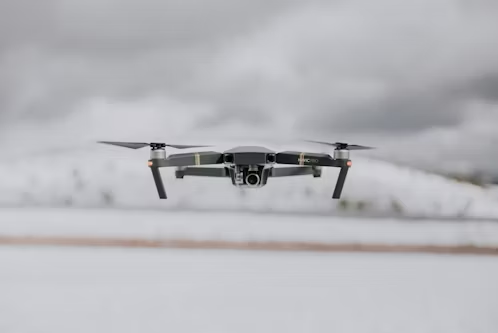
Wind turbines are critical components of the renewable energy infrastructure, and ensuring their optimal performance requires regular and thorough inspections. In the USA, several companies specialize in using drone technology to inspect wind turbines, providing a safer, faster, and more cost-effective alternative to traditional methods. These firms use advanced UAVs equipped with high-resolution cameras and […]
Top Drone Surveying Companies in the USA

Drone surveying has become an essential tool for industries that require accurate and efficient data collection from the air. In the USA, several companies are leading the charge in providing top-notch drone surveying services, offering precise aerial mapping, 3D modeling, and land surveying solutions. These firms utilize advanced UAVs equipped with high-resolution cameras, LiDAR sensors, […]
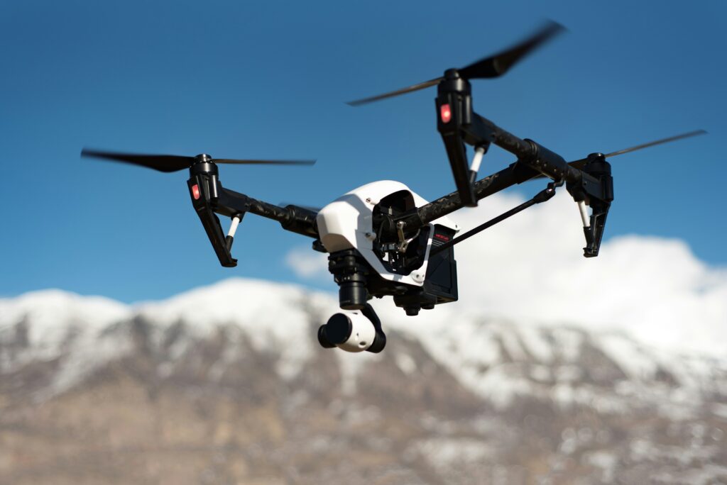
Top Commercial Drone Companies in the USA

The commercial drone industry in the USA is booming, with companies leading the way in providing innovative UAV (Unmanned Aerial Vehicle) solutions across various sectors. These firms specialize in leveraging drone technology for a wide range of applications, from aerial surveying and mapping to delivery services and infrastructure inspection. Whether it’s for construction, agriculture, logistics, […]
Top Agriculture Drone Companies in the USA

Agriculture drones are transforming the farming industry by providing farmers with powerful tools to monitor crops, assess soil health, and optimize yields. In the USA, several companies are at the forefront of this agricultural revolution, offering advanced UAV solutions tailored to the needs of modern farming. Whether it’s monitoring crop health, mapping fields, or spraying […]
Top Drone Service Companies in the USA

Drone services have become an essential tool across numerous industries in the USA, providing innovative solutions that improve efficiency, safety, and data accuracy. Whether it’s aerial photography, surveying, mapping, or inspections, the leading drone service companies in the USA are equipped with cutting-edge technology and expertise to meet diverse business needs. These companies specialize in […]
AI-Powered Tools for Infrastructure Inspection
When it comes to keeping our infrastructure safe and sound, traditional methods of inspection can be slow and often miss critical issues. That’s where AI-driven tools and software come in. These technologies are reshaping how inspections are done, offering faster, more accurate results. From bridges and roads to pipelines and power lines, AI is helping […]
Understanding Aerial Recognition Software Tools Powered by AI

Aerial recognition software, driven by AI, is changing the game for various industries that rely on analyzing images from above. Whether it’s for mapping, surveillance, or environmental monitoring, these tools help process and interpret vast amounts of aerial data more efficiently than ever before. In this article, we’ll explore what aerial recognition software is, how […]
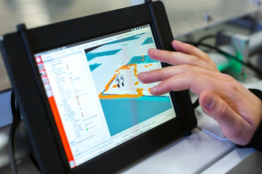
UAV Surveying Software, Tools, and AI: A Comprehensive Guide

In the world of surveying and mapping, UAV (Unmanned Aerial Vehicle) technology has become a game-changer. With advancements in software and AI, these tools are now more efficient and accurate than ever. This guide will walk you through the essential UAV surveying software and tools, highlighting their features and capabilities to help you choose the […]
Drone Data Analytics Software and AI Tools: What You Need to Know
Drone technology has rapidly evolved, becoming a valuable asset across various industries. Whether you’re mapping landscapes, inspecting infrastructure, or monitoring agricultural fields, the ability to process and analyze drone data is crucial. In this article, we’ll break down the top drone data analytics software and AI tools available in 2024, focusing on what each tool […]
Top Geospatial Analytics Software AI Tools

Geospatial analytics software and AI tools are essential for understanding and visualizing geographic data. Whether you’re mapping out city infrastructure, analyzing environmental changes, or planning logistics, these tools help make sense of complex spatial information. In this article, we’ll break down the key software and tools in the field, explaining what they do and how […]