Geospatial Modeling Software and AI Tools

Geospatial modeling is all about analyzing and interpreting data tied to specific locations. It’s a powerful tool for everything from urban planning to environmental research. With the rise of AI, geospatial modeling has become even more advanced, enabling more accurate predictions and insights. In this article, we’ll break down the key software and tools used […]
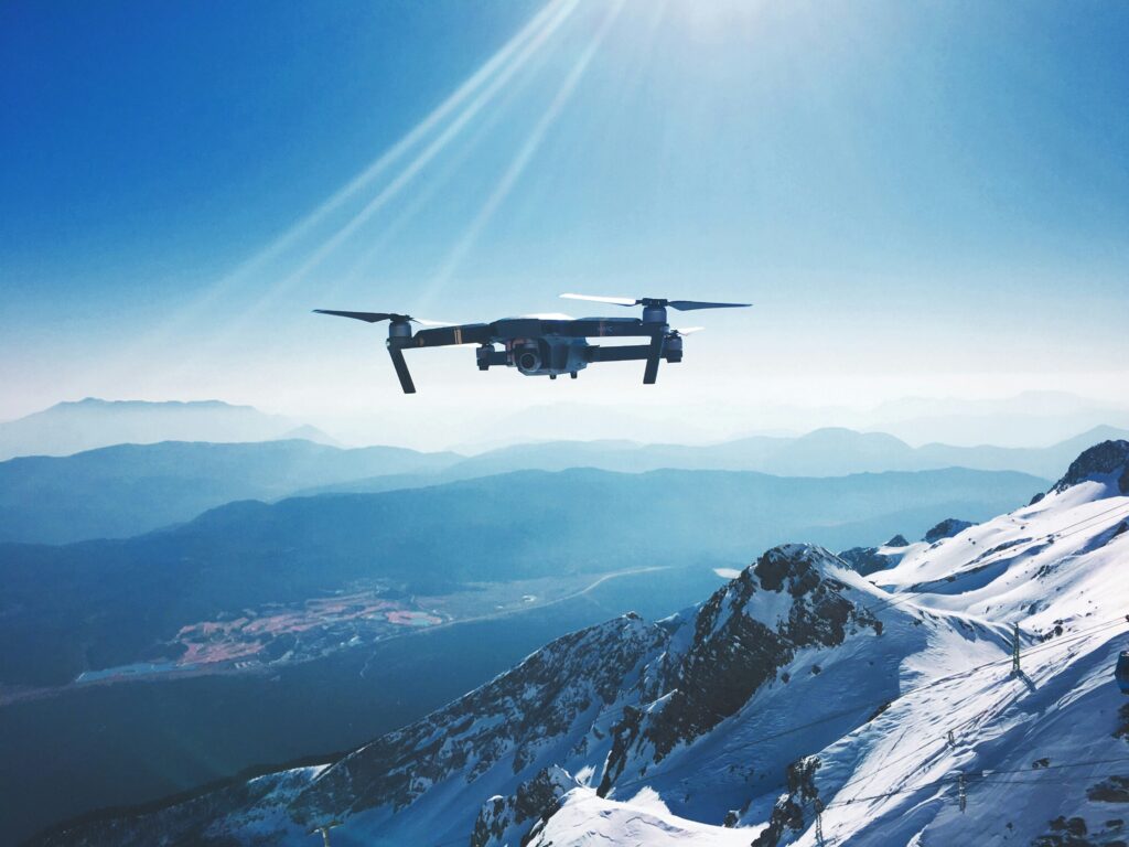
Top Industrial Drone Companies in the USA

Industrial drones are reshaping how businesses manage operations, from inspecting infrastructure to monitoring large-scale projects. In the USA, several companies are leading the way in offering specialized drone solutions for industrial applications. These firms deploy advanced UAVs equipped with high-resolution cameras, thermal imaging, and other sensors to perform detailed inspections, monitor construction sites, and enhance […]
Understanding Satellite Image Processing Software and AI Tools

Satellite image processing has become an essential part of many industries, from environmental monitoring to urban planning. With advancements in software and AI, these tools are now more powerful and accessible than ever. In this article, we’ll break down the different types of satellite image processing software and tools available today, and explain how AI […]
Top Crop Scouting Software and Tools for 2024

Crop scouting is essential for modern agriculture, helping farmers monitor and manage their crops more effectively. With advancements in technology, there are now a variety of software and AI tools designed to make crop scouting more efficient and accurate. This article explores some of the top crop scouting tools available today, focusing on their features, […]
Drone Surveillance Software with AI
Drone surveillance software has come a long way, especially with the integration of AI. Today, it’s not just about capturing footage from the sky—it’s about analyzing that data in real time to make smarter decisions. Whether for security, agriculture, or disaster response, AI-powered drone surveillance offers a more efficient way to monitor and manage various […]
Enhancing Port Operations: The Role of Software and AI

Managing a port is no small task there’s a lot going on, from coordinating ships and cargo to dealing with customs and security. To make things run smoothly, more ports are turning to specialized software and AI tools. These technologies are helping streamline everything from logistics to communication, making operations more efficient and less prone […]
Top Mine Maintenance Software and AI Tools for 2024
Mining operations rely heavily on effective maintenance strategies to ensure safety and productivity. With advancements in technology, software and AI tools have become crucial in optimizing mine maintenance processes. In this article, we’ll explore some of the most reliable mine maintenance solutions available in 2024, focusing on how these tools help streamline operations, reduce downtime, […]
Understanding Precision Agriculture: Tools, Software, and AI
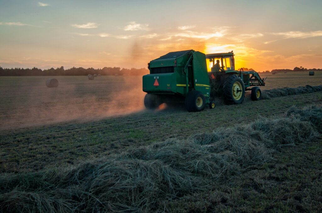
Farming is changing rapidly with the rise of technology, and precision agriculture is at the forefront of this transformation. It’s all about using software, advanced tools, and AI to make farming more efficient. Whether it’s predicting the best times to plant, optimizing water use, or monitoring crop health, these technologies help farmers manage their fields […]
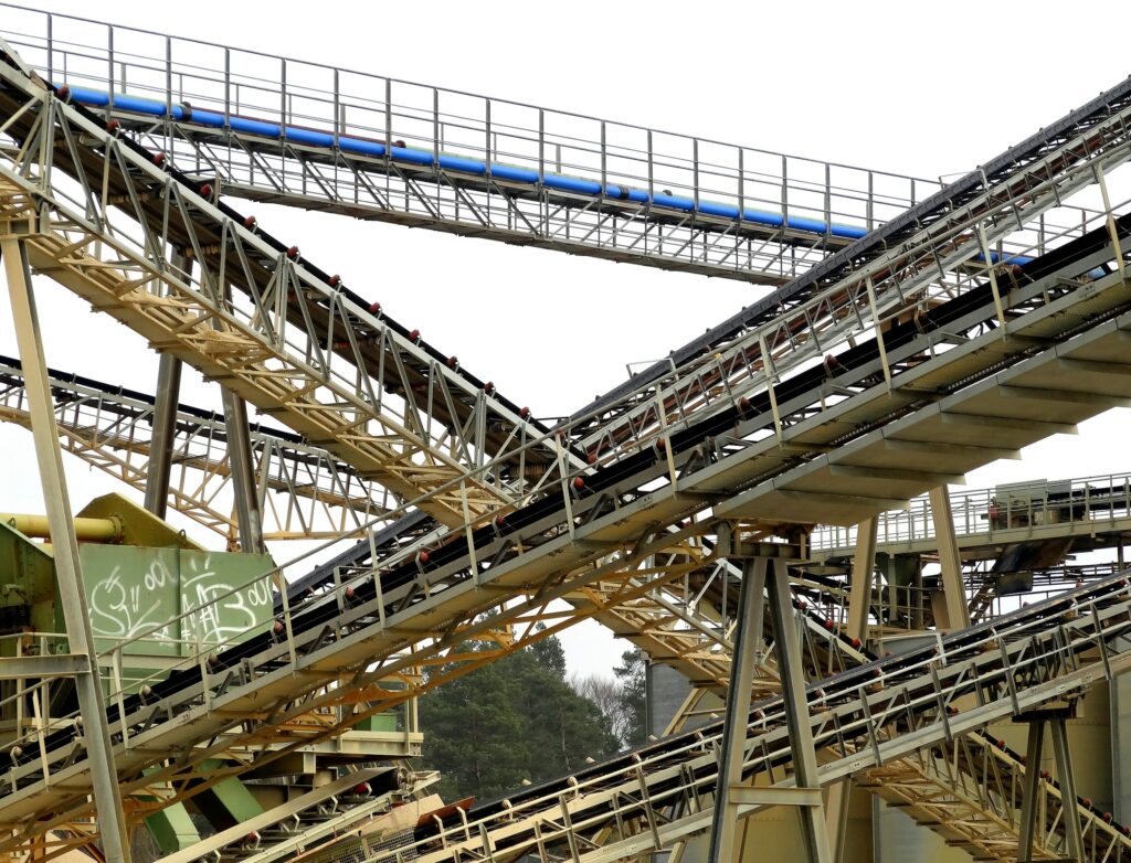
Essential Mining Industry Software, Tools, and AI Solutions
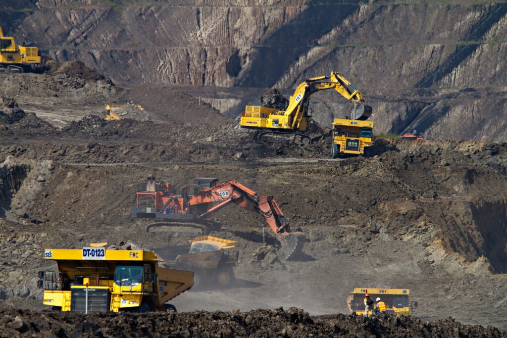
The mining industry has increasingly turned to software, tools, and AI solutions to tackle its complex challenges. These technologies play a critical role in optimizing operations, improving safety, and boosting productivity. Whether it’s for resource estimation, mine planning, or environmental management, the right tools can make a significant difference in how efficiently and safely a […]
Top Drone Mapping Companies in the USA
Drone mapping is revolutionizing how industries like construction, agriculture, and real estate conduct surveys and gather data. In the USA, several companies are leading the way in providing state-of-the-art drone mapping services. These firms use advanced UAVs equipped with high-resolution cameras and LiDAR technology to create accurate, detailed maps and 3D models of landscapes, construction […]