

Leading Satellite Imagery Companies
Satellite imagery companies play a crucial role in providing high-quality images of the Earth’s surface, offering valuable insights
Top 15 Remote Sensing Companies
Remote sensing transforms how we observe and understand the world, leveraging satellites, drones, and advanced software to collect

Top Urban Planning Companies Shaping the Future of Our Cities
Urban planning is a vital aspect of creating cities that are functional, sustainable, and livable. Whether it’s designing
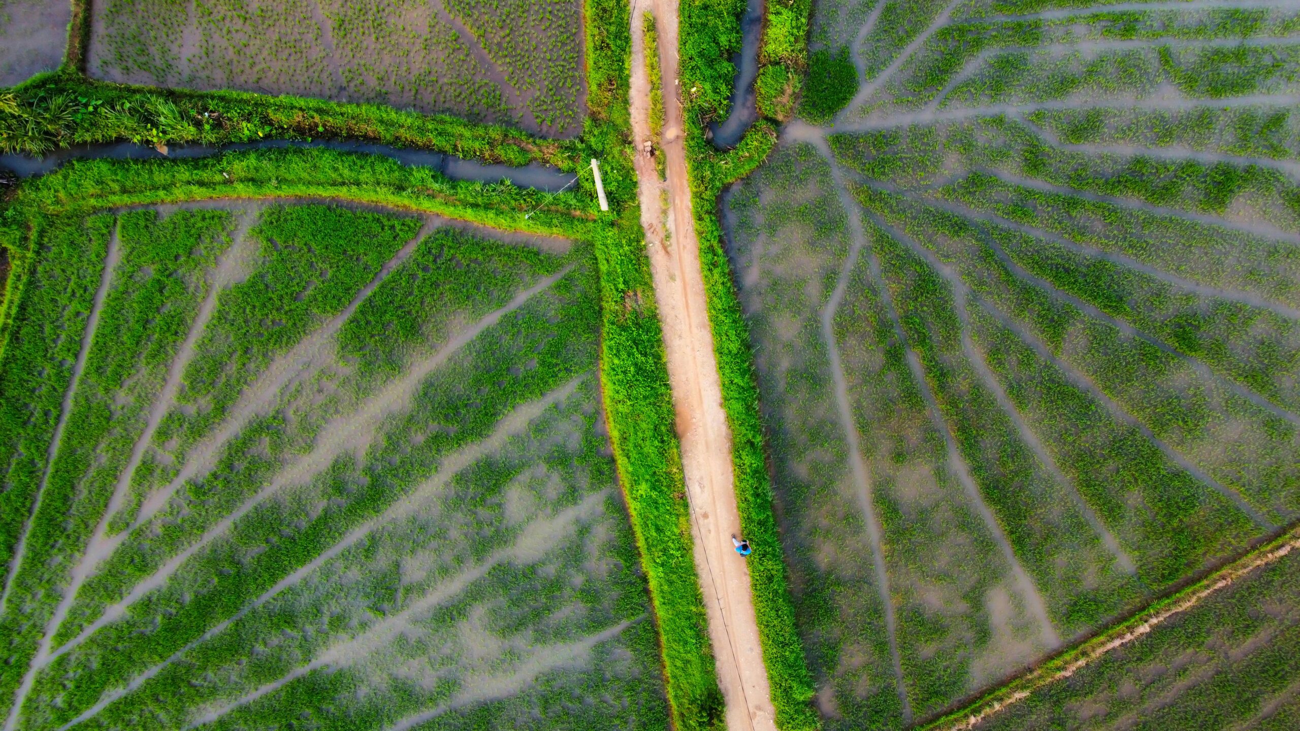
Best Crop Monitoring Companies to Boost Farm Productivity
Crop monitoring is a game-changer for modern agriculture. With the help of technology, farmers can now keep a

Leading Drone Image Processing Companies You Should Know About
Drone image processing has become a game-changer for various industries, providing detailed and high-quality aerial imagery that can

Top Geospatial Analysis Companies
Geospatial analysis is a key tool for businesses and governments alike, helping to understand the world through the

Reality Capture for Office Buildings: A Complete Guide
Reality Capture is revolutionizing how office buildings are designed, constructed, and managed. Using advanced 3D scanning technologies like
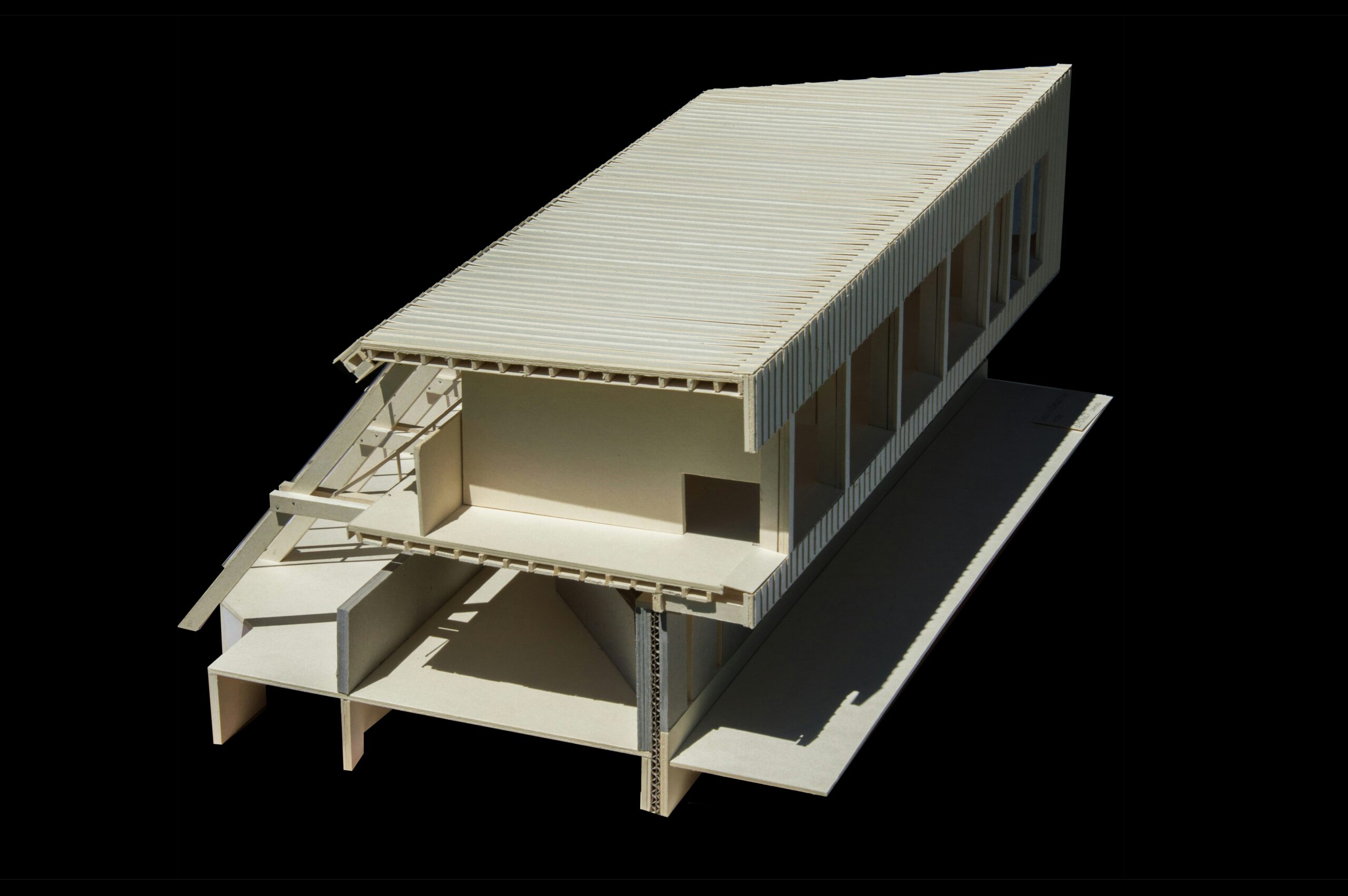
3D Reality Capture for Building Construction
3D reality capture is changing the way buildings are designed, constructed, and managed. By using advanced scanning technologies

Reality Capture Methods: Digitizing the World Made Simple
Reality capture is the fascinating process of transforming the physical world-your cluttered desk, a sprawling park, or a