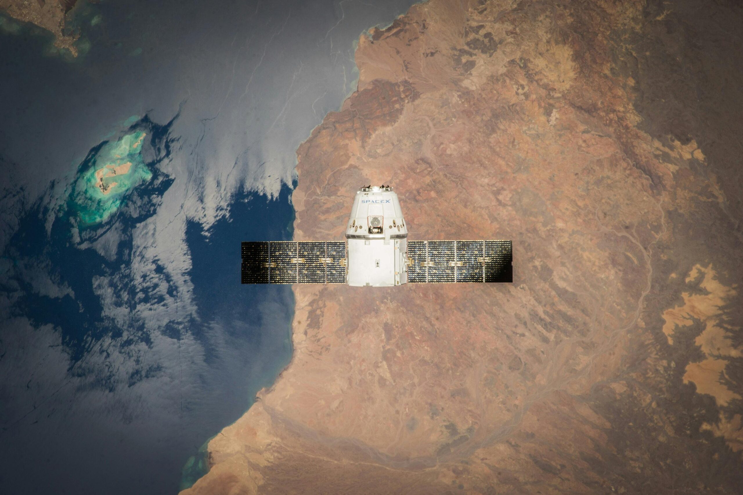
Harnessing the Power of Real-Time Earth Observation Software
In today’s fast-paced world, staying on top of environmental changes and natural events is crucial. That’s where real-time

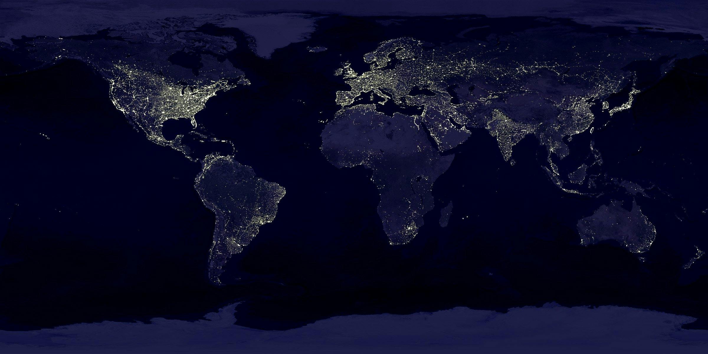
Exploring Earth Observation Analytics Software
In today’s fast-paced world, understanding our planet is more important than ever. Earth observation analytics software lets us
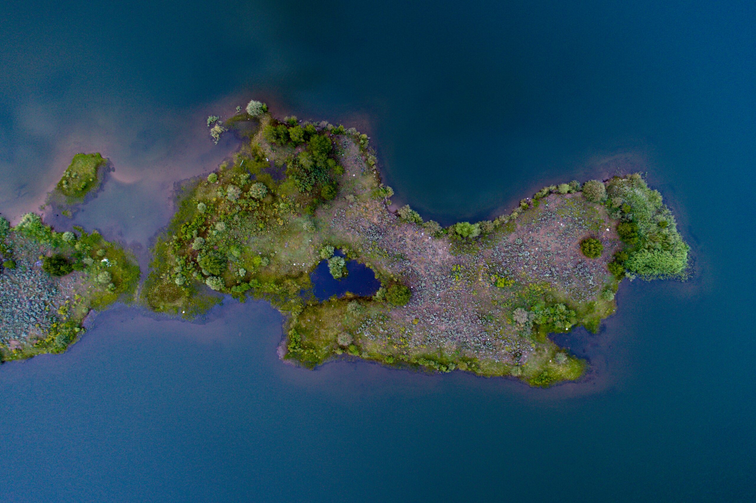
Top Earth Observation Satellite Companies Changing the Game
Earth observation satellites are transforming the way we understand our planet. From monitoring climate change to improving agriculture,

Leading Earth Observation Companies Driving Innovation
Earth observation companies are revolutionizing how we understand and interact with our planet. From monitoring climate changes to

Reality Capture Definition – Turning the Physical World into 3D Models
Reality Capture refers to the process of creating digital 3D models of real-world objects, spaces, and environments using
Understanding Reality Capture Control Points
Reality capture is a crucial process for creating accurate and detailed 3D models of real-world objects and environments.

360 Reality Capture: Transforming Construction Workflows
The construction industry is experiencing a digital transformation, and 360 reality capture is leading the charge. This innovative

RealityCapture Requirements: What You Need for Optimal Performance
If you’re diving into the world of photogrammetry with RealityCapture, you need the right setup to make the

RealityCapture Pricing: A Complete Guide
RealityCapture has taken a bold step to make its cutting-edge photogrammetry software more accessible to a broader audience.