
Automated Image Analysis Software and Tools
Automated image analysis software and AI tools have become essential in processing and interpreting visual data across various
How to Install Starlink: Step-by-Step Setup Guide
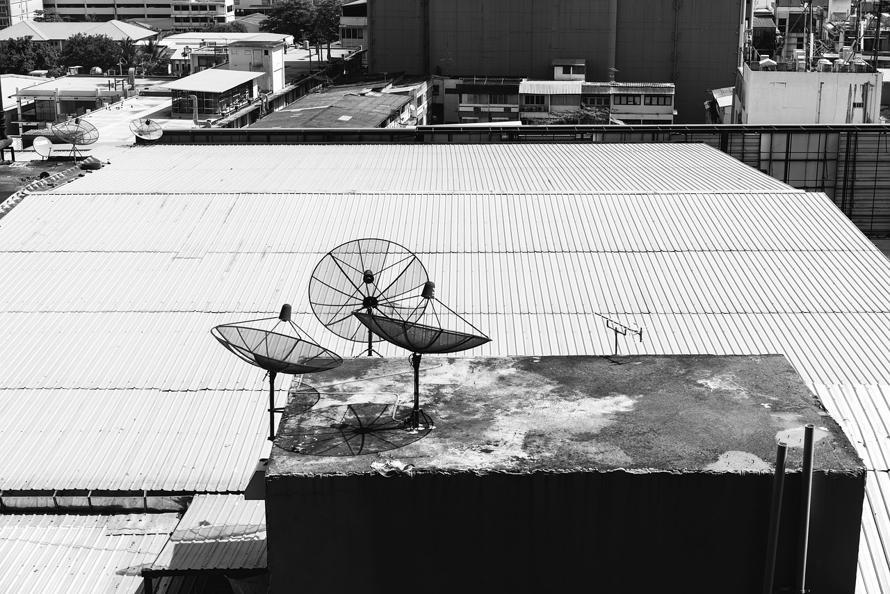
Starlink provides satellite internet through a user-installed system. The process involves selecting a suitable location for the dish,

How to Set Up Starlink Without Overcomplicating It
Setting up Starlink is simpler than it first appears, but it is not something you want to rush

Is Starlink Internet Actually Good in 2026?
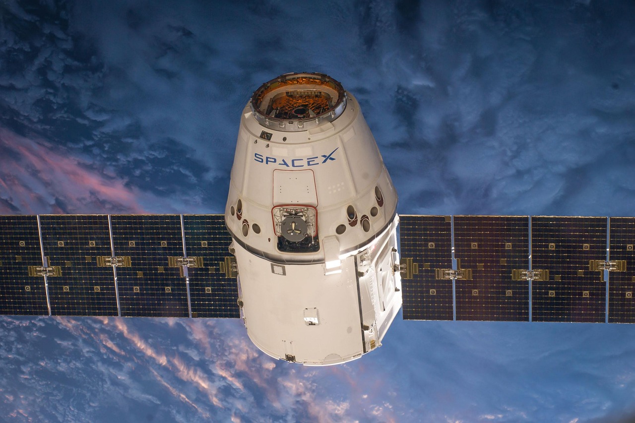
I’ve been using Starlink for a couple of years now, and honestly, the conversation around it has shifted.
What Time Are the Starlink Satellites Tonight?
If you have ever seen a neat line of lights quietly sliding across the night sky, chances are
Is Starlink Worth It? An Honest Look at Satellite Internet Today
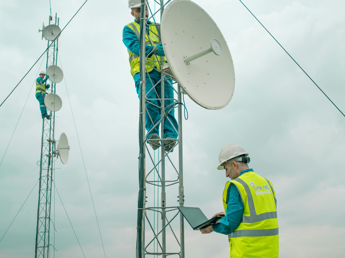
For years, fast internet meant one thing – living in the right place. Cities had options, rural areas
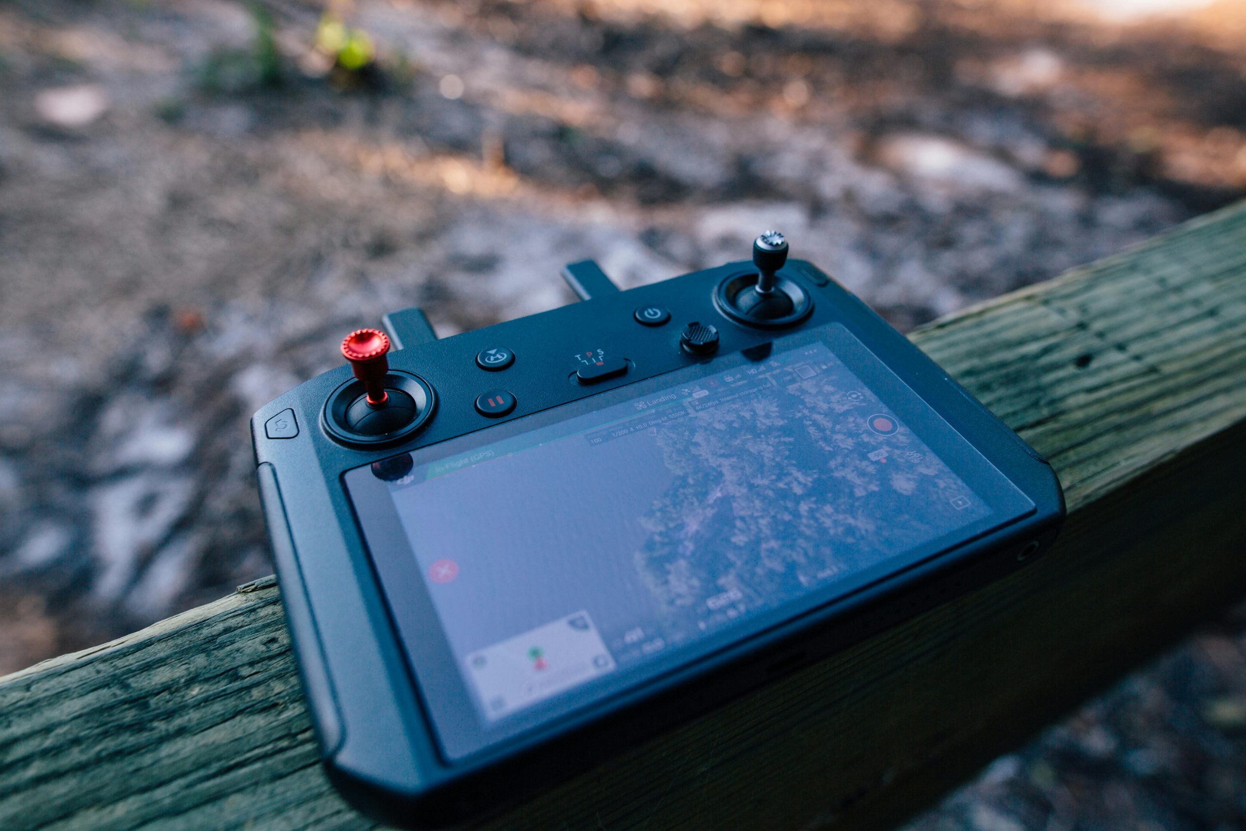
Drone LiDAR Systems: Key Applications
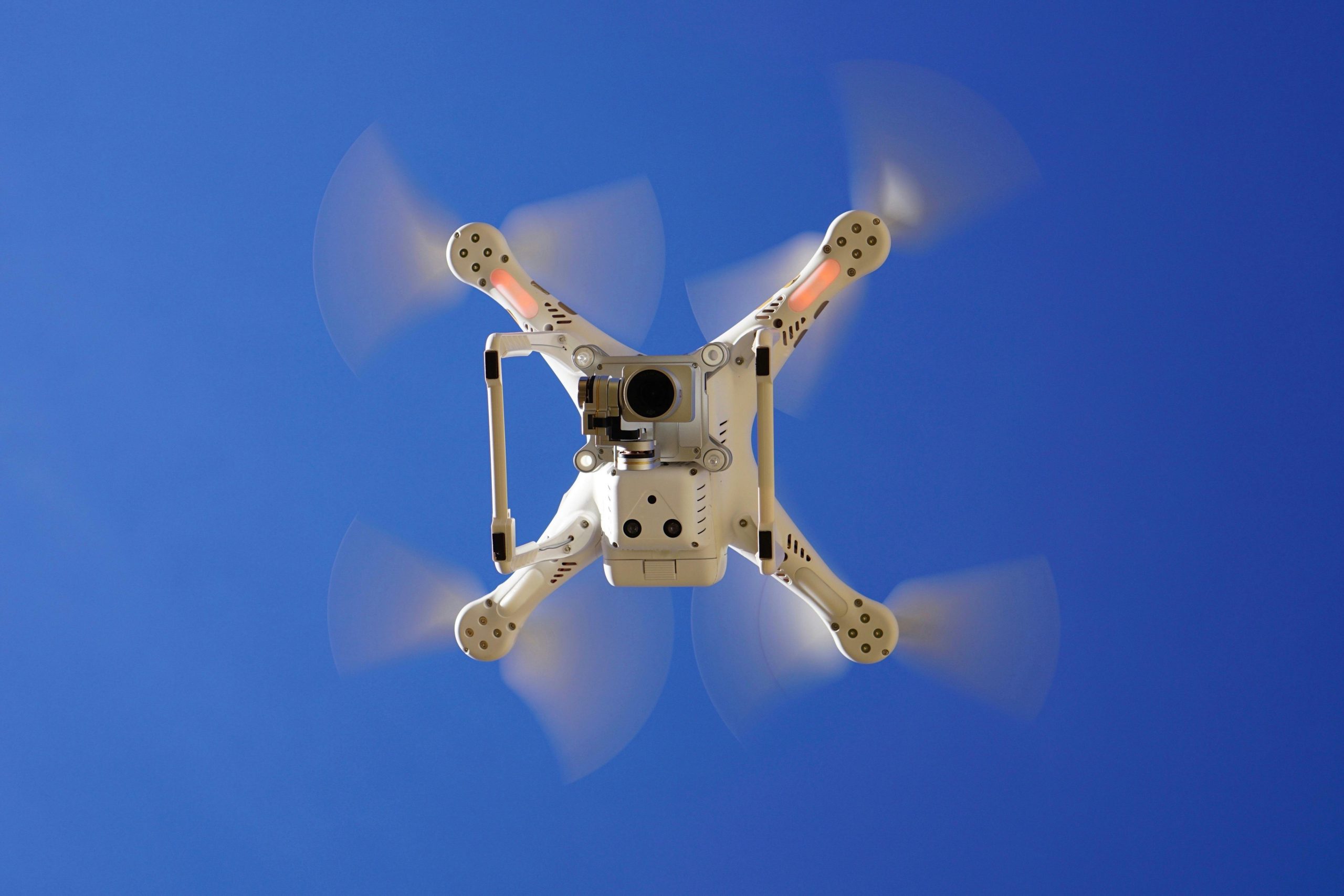
In our roundup of the best LiDAR-equipped drones for professional use, systems that combine UAVs with LiDAR sensors
LiDAR Companies and the Technology Behind Modern Mapping
LiDAR has quietly moved from niche research labs into everyday tools that shape how we map, build, and

iPhone LiDAR Scanner: A Top Contender in Mobile 3D Scanning
In our list of the best 3D scanners for iPhone, Apple’s built-in LiDAR sensor—available on Pro models from