
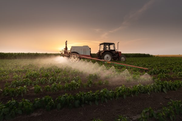
Nitrogen Fertilizers: Why and How to Apply Right
Quick Summary: Nitrogen fertilizers supply essential nutrients that plants cannot obtain from air or soil alone, dramatically boosting
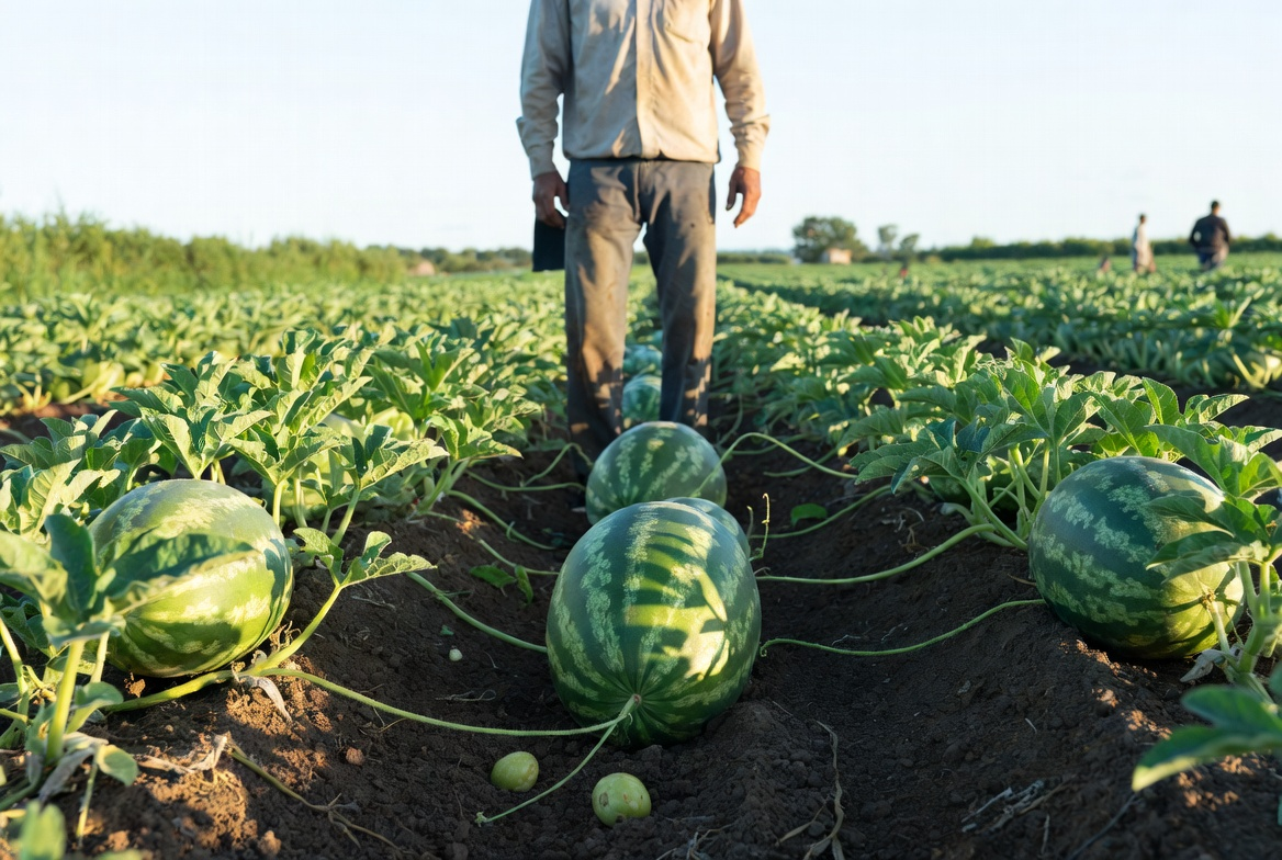
How to Grow Watermelon: Pro Tips for 2026
Quick Summary: Growing watermelon successfully requires warm soil (70–95°F), full sun, consistent watering until two weeks before harvest,

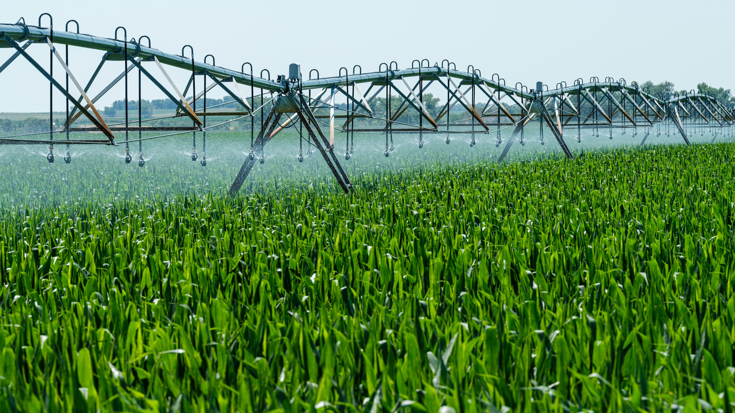
Monoculture Farming in Agriculture Industry
Quick Summary: Monoculture farming is the agricultural practice of growing a single crop species on the same land

Top Infrastructure Monitoring Tools to Optimize Your System Performance
Effective infrastructure monitoring is crucial for maintaining the reliability and performance of your IT systems. Whether you’re managing
Top Land Management Software, Tools, and AI Solutions
Managing land efficiently requires more than just traditional methods. Today, land management software and AI tools offer powerful

Top Land Management Companies in 2026
This article highlights the top land management companies transforming the industry in 2026, focusing on organizations dedicated to

Top Aerial Survey Companies Revolutionizing Geospatial Data in 2026
This article showcases the top aerial survey companies driving innovation in geospatial data collection and analysis in 2026.

High-Resolution Gigapixel Image Annotation Software: Precision at Scale
Annotating high-resolution gigapixel images manually has always been incredibly time-consuming. These massive files contain billions of pixels full

Top AI Solutions for SaaS Providers: Transforming Operations with Speed and Precision
SaaS providers are always looking for ways to move faster without sacrificing quality. The best AI solutions out