Introduction:
Maintaining the infrastructure of a city is an ongoing challenge for municipal authorities around the world. One of the most persistent and frustrating problems faced by cities is the deterioration of pavements and roads, which can result in potholes, cracks, and erosion. Traditionally, identifying and repairing these issues has been a time-consuming and labour-intensive task. However, thanks to the advent of geospatial artificial intelligence (AI), cities now have a powerful tool at their disposal to transform their approach to road inspection and maintenance.
The Pothole Predicament:
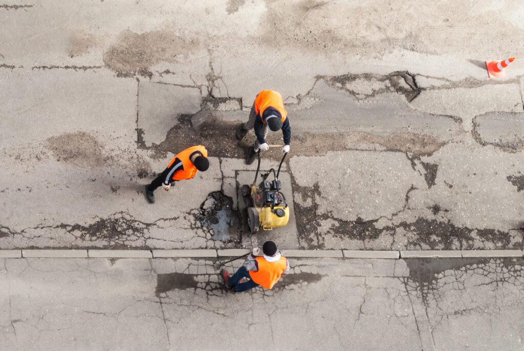
Potholes are not only an inconvenience for drivers but also pose a serious safety hazard. Cities have traditionally relied on manual methods for detecting and repairing potholes, which involve sending out maintenance crews to visually inspect roads or relying on reports from citizens. These methods are not only time-consuming but also prone to human error, leading to delays in addressing the problems.
The Solution:
Geospatial AI leverages machine learning algorithms and high-resolution aerial imagery to detect and classify various types of road and pavement defects, including cracks, potholes, erosion, and more. By analyzing the imagery, platforms such as FlyPix AI, can automatically detect, segment and assess the severity of each defect by estimating their area and dimensions. This data allows city officials to prioritize maintenance efforts and allocate resources more efficiently.
Time and Accuracy: The Winning Combination:
The integration of geospatial AI in city management offers numerous benefits, but perhaps the most significant advantages are the time-saving and increased accuracy it provides. With traditional methods, inspection crews need to physically visit every road segment, which can be a time-consuming process, especially in larger cities. By contrast, AI-powered analysis of aerial imagery allows for rapid and comprehensive assessment of road conditions across an entire city.
Moreover, the accuracy of geospatial AI is far superior to human-based methods. Machine learning algorithms are trained on large datasets of labelled imagery, enabling them to identify and classify defects with remarkable precision. This eliminates subjective judgments and ensures consistency in evaluating road conditions. By accurately assessing the severity of defects, city authorities can prioritize maintenance efforts based on urgency, resulting in more efficient allocation of resources.
Benefits Beyond Maintenance:
The benefits of geospatial AI for road inspection and maintenance go beyond saving time and increasing accuracy. By leveraging real-time data, city officials can anticipate potential road failures, proactively address issues, and minimize disruptions for residents and commuters. Additionally, the data generated by AI-powered inspections can be used to monitor the effectiveness of maintenance efforts over time, enabling cities to fine-tune their strategies and achieve long-term improvements in infrastructure quality.
Conclusion:
Geospatial AI has emerged as a transformative technology in the field of city management, revolutionizing the way pavement and road inspection are conducted. By harnessing the power of machine learning and high-resolution aerial imagery, cities can now detect and classify various defects accurately and efficiently using platforms like FlyPix AI. The ability to assess the severity of each defect and prioritize maintenance efforts saves time, increases accuracy, and enables proactive infrastructure management.
As cities embrace geospatial AI and platforms like FlyPix AI, they are poised to unlock tremendous potential for improving the quality and resilience of their road networks, ultimately enhancing the lives of their residents. The combination of advanced technology and proactive infrastructure management paves the way for smarter, more efficient cities that can adapt to the evolving needs of their citizens.
Ready to transform your city’s infrastructure management with geospatial AI? Explore FlyPix AI and unlock the power of smart road inspection. Contact us and schedule a demo today.


