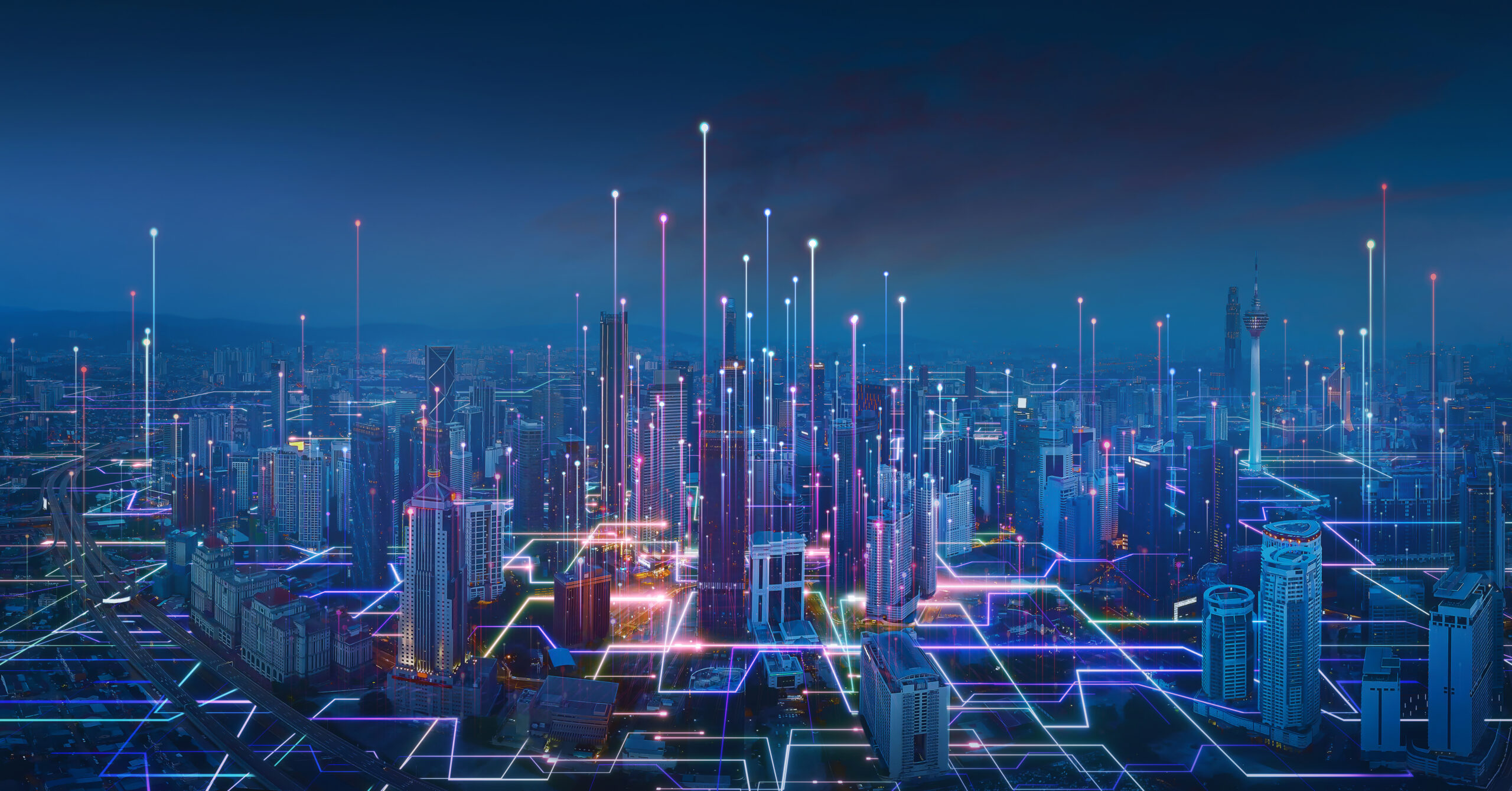
Urbanization continues to expand at an unprecedented rate. In response, city planners, administrators, and technologists worldwide are collaborating to develop “smart cities” – urban areas that leverage digital technology, data, and connectivity to enhance the quality of life for their residents. One technology making waves in the realm of smart cities is AI-powered analysis of aerial imagery.
What is AI-powered analysis of aerial imagery?
AI-powered analysis of aerial imagery combines the fields of artificial intelligence (AI), computer vision, and remote sensing to analyze images taken from above the earth’s surface.
The process begins with the acquisition of aerial or satellite images, which are usually collected via satellites and unmanned aerial vehicles (UAVs) or drones that are able to capture detailed images of the earth’s surface. These images can cover large geographic areas and capture minute details, ranging from the characteristics of individual buildings to changes in vegetation or water bodies.
Once these images are captured and processed, they are ready to be analyzed using AI algorithms. These algorithms, typically leverage advanced machine learning techniques to detect and recognize various objects and patterns in these images, ranging from vehicles, buildings, trees, roads, bodies of water, or any number of other features. This is where the power of AI really shines, as it can sift through massive volumes of aerial imagery to identify objects of interest and extract meaningful information from them.
The integration of AI and aerial imagery thus opens up a wide array of possibilities, turning raw images into actionable intelligence. As technology advances, we can expect even more sophisticated analyses, contributing significantly to sectors like urban planning, agriculture, environmental monitoring, and many others.
Smart City Applications
Smart cities can benefit from AI-powered analysis of aerial imagery in numerous ways. Some of the key applications that are actively transforming how our urban environments function and evolve include:
Traffic Management and Transportation
Traffic congestion and inefficient public transportation are common issues in urban areas. AI-powered analysis of aerial imagery can provide a comprehensive view of traffic patterns, including congestion points, traffic flow, and road conditions. This data can then be used to inform the planning of public transportation routes to alleviate congestion and can also help city officials understand where new roads or infrastructure might be necessary.
Urban Planning and Development
AI-powered analysis of aerial imagery can help urban planners monitor growth and changes in land use. For instance, it can identify areas where urban sprawl is occurring, track the construction of new buildings, and even monitor the displacement of green spaces. This data can inform decisions about zoning, urban development, and resource allocation to promote sustainable growth and the efficient use of city resources.
Infrastructure Monitoring and Maintenance
Roads, bridges, buildings, and other urban infrastructure can be monitored efficiently using AI and aerial imagery. AI algorithms can detect signs of potential problems such as structural damage, wear and tear, or changes over time that may signify a need for repairs. This proactive approach allows city officials to schedule maintenance before minor issues turn into major problems, potentially preventing infrastructure failures that could be costly and disruptive.
Environmental Monitoring and Conservation
In the face of climate change and environmental challenges, conservation efforts have become a crucial part of city planning. Aerial imagery can also be used to provide valuable data on city green spaces, water bodies, pollution levels, and changes in the environment. For instance, AI can help monitor the health of city parks or detect illegal dumping in an efficient manner.
The Future of Smart Cities
As technology continues to evolve, it’s clear that AI-powered analysis of aerial imagery will play a crucial role in the growth and development of smart cities. The potential to gain comprehensive, real-time insights about city functions from a macro perspective offers a promising path towards more efficient, sustainable, and livable urban environments.
Our object detection platform for aerial imagery, FlyPix AI, is at the forefront of these innovations. By leveraging the power of artificial intelligence, FlyPix AI turns aerial images into actionable insights, driving data-driven decision making for smarter, more livable cities.
As technology continues to advance, we can expect to see even more innovative applications of AI in aerial imagery. With tools like FlyPix AI, the future of smart cities looks brighter than ever.


