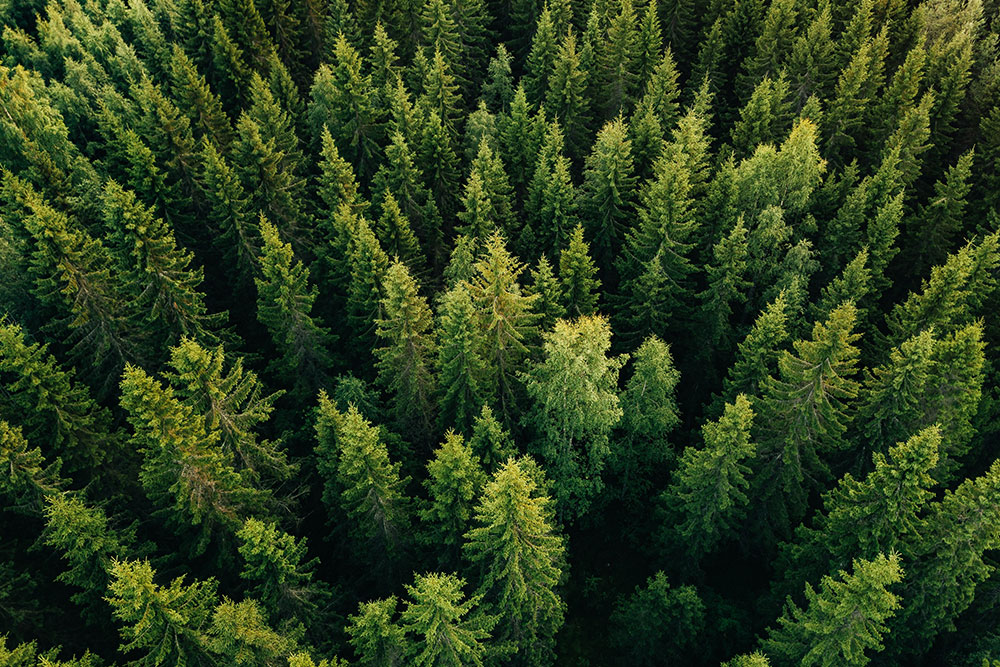
Object detection in satellite imagery can be a powerful tool for wildlife and forest conservation. By using advanced algorithms and machine learning techniques, researchers and conservationists can quickly and accurately survey large areas of land, identify different species of animals and plants, and monitor changes over time.
Applications
One way that object detection in satellite imagery can be used for wildlife conservation is by identifying the distribution and abundance of different species. By analysing satellite images, researchers can get a better understanding of the habitats and ranges of different animals, and use this information to inform conservation efforts.
For example, by detecting the presence of different types of vegetation, researchers can identify areas that are likely to support certain species of animals. This can be particularly useful for identifying areas that may be suitable for reintroducing endangered species, or for identifying areas that may need additional protection.
In addition to identifying the presence of different species, object detection in satellite imagery can also be used to track the movements of migratory species, such as birds and certain types of fish. By analysing the patterns of movement over time, researchers can better understand the migratory habits of different species, and use this information to protect important habitat areas and resources.
Besides this, object detection in satellite imagery can also be used to monitor the health and condition of forests. By analysing the distribution and density of different types of vegetation, researchers can identify areas of deforestation, monitor the regeneration of forests after logging, and track the spread of pests and diseases. This can be valuable for identifying areas that may need additional protection, or for identifying areas that may be suitable for reforestation efforts.
Object detection in satellite imagery can also be a valuable tool for identifying and addressing illegal logging.
By detecting changes in the forest canopy over time, researchers and conservationists can identify areas where trees have been illegally logged, and take appropriate action to address the problem.
One way that object detection can be used to identify illegal logging is by analysing changes in forest cover over time. By comparing satellite images of the same area taken at different points in time, it is possible to identify areas where the forest canopy has been reduced or removed. This can be a strong indication of illegal logging, as legal logging operations are typically well-regulated and monitored.
In addition to identifying changes in forest cover, object detection can also be used to identify specific types of trees that have been illegally logged. By analysing the characteristics of different types of trees, such as their size, shape, and foliage, it is possible to identify specific species that may have been targeted by illegal loggers. This information can be used to help enforce logging regulations and protect threatened or endangered species.
Overall, object detection in satellite imagery can be a valuable tool for wildlife and forest conservation. By providing detailed data on the distribution and movements of different species, and on the health and condition of forests, object detection can help researchers and conservationists better understand the needs and habits of different animals, and inform efforts to protect and preserve important habitat areas and resources.
How can we help?
Wether you are looking to leverage the potential of satellite imagery object detection to detect the presence of different species, analyse changes in forest cover over time or identify illegal logging, FlyPix AI can provide you with the tools you need to successfully achieve it.
Contact us today to get started


