
In a world where everything has a location tag, it’s no surprise that some of the smartest business decisions start with a map. But not just any map, one layered with insight, movement, and meaning. That’s location intelligence in a nutshell: the art of turning spatial data into smarter decisions.
What used to be a tool for cartographers and city planners is now driving everyday business across industries. From retail chains to insurers, logistics teams to public health officers, spatial insight is the quiet engine behind better targeting, faster delivery, lower risk, and, frankly, fewer bad calls.
This article walks through real-world examples of how location intelligence plays out on the ground. Not theory. Not hype. Just practical uses that are changing how people work and plan.
Why Location Data Matters More Than Ever
Before diving into examples, let’s anchor the concept. Location intelligence isn’t about collecting dots on a map. It’s about layering those dots with real-world context, who lives there, how people move, where infrastructure gaps exist, what risks are rising.
And when you connect those dots, a pattern emerges. That pattern becomes insight. And that insight leads to better decisions. That’s why location intelligence is showing up in places you might not expect – from microfinance to agriculture to telecom planning.
Real-World Wins: 9 Examples Where Location Intelligence Changes the Game
When people talk about location intelligence, it’s easy to imagine some abstract dashboard buried in a strategy meeting. But out in the real world, this stuff has a job to do. Whether it’s picking the right corner for a new store, rerouting a delivery truck in traffic, or speeding up a disaster response – these are the decisions that shape outcomes.
This section dives into the places where spatial data isn’t just helpful – it’s essential. You’ll see how location intelligence actually works in practice, across industries that look nothing alike but share the same challenge: making smarter decisions with better context.
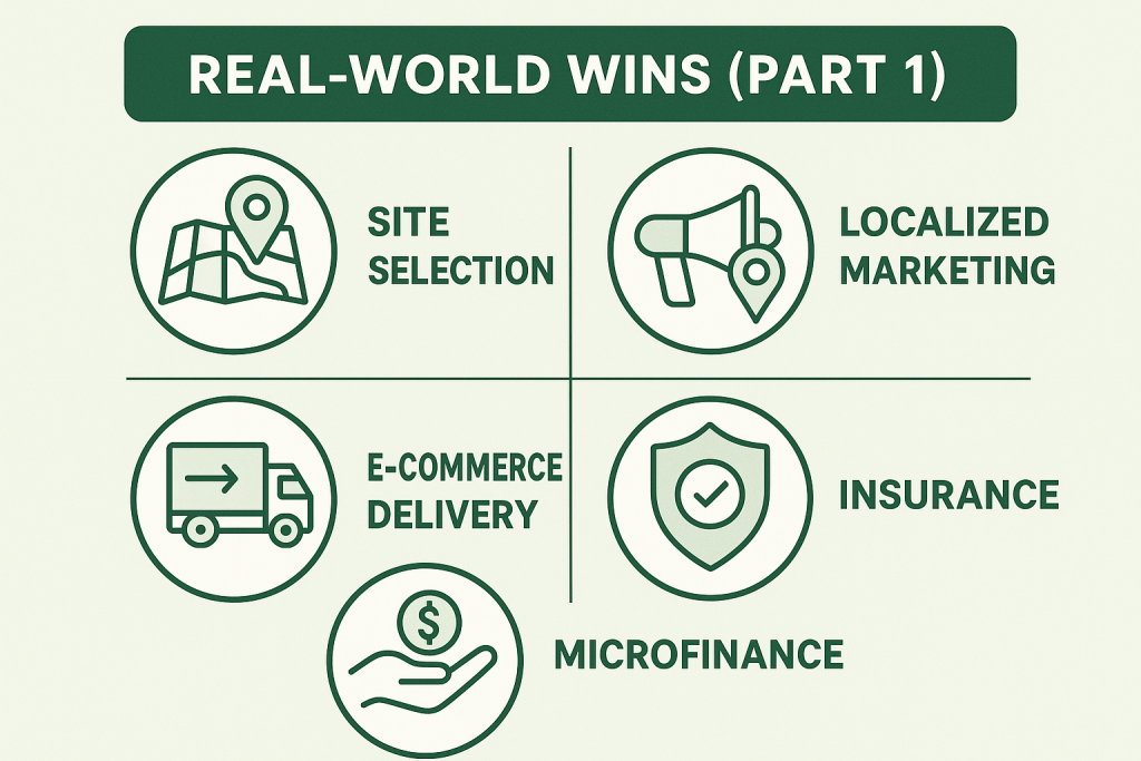
1. Site Selection in Retail: Picking Stores That Actually Perform
Retailers used to scout new locations based on foot traffic counts, gut instinct, and maybe some demographic reports from five years ago. Now they build layered models that tell a much clearer story.
Here’s what typically goes into that:
- Real-time foot traffic (via anonymized mobile data).
- Income levels and lifestyle segments by block.
- Distance to nearest competitors.
- Transit accessibility and parking.
- Historical sales patterns in similar zones.
Retailers have moved far beyond gut instinct when choosing store locations. Location intelligence helps them weigh factors like pedestrian flow, nearby competition, and neighborhood trends to figure out not just where to open, but when to walk away or reconfigure an existing spot. It’s not just about growing faster – it’s about growing smarter.
2. Localized Marketing That Hits the Right Block, Not Just the Right Demographic
If you’ve ever gotten a mobile coupon while walking past a store, you’ve seen location intelligence at work. But geotargeted marketing isn’t just about flashy promotions.
Companies use geospatial insight to:
- Analyze which neighborhoods respond to which types of offers.
- Detect when and where customer engagement is highest.
- Avoid wasting ad spend on low-conversion zones.
- Time outreach based on crowd flow and event schedules.
We’ve all seen the effect of getting an offer when we’re physically near a store – that’s location intelligence quietly doing its thing. But it’s not about spamming people with coupons. What’s changed is how companies use spatial patterns to see what kind of messaging lands in what kind of neighborhood, and when. Instead of shouting into the void, they’re talking to the right people, in the right places, at the right time.
3. E-commerce Delivery: Not Just Faster, Smarter
In the world of online orders, everyone’s chasing “last-mile” perfection. That last leg – from warehouse to doorstep – is often the most expensive and unpredictable. Location intelligence helps tighten the screws.
What the top performers are doing:
- Optimizing routes based on real-time traffic.
- Mapping drop-off density to batch deliveries.
- Dynamically assigning drivers based on proximity.
- Locating package lockers in high-return areas.
- Predicting failed deliveries using historical access data.
In logistics, the last stretch between a warehouse and the customer’s door is often the hardest to get right. That’s where location data comes in. Companies are using real-time mapping, traffic patterns, and delivery clustering to build routes that actually make sense. It’s less about being fast at any cost and more about being consistently reliable, even when things don’t go as planned.
4. Insurance: Pricing Risk by the Square Meter
Insurers are all about risk. And risk is heavily tied to geography – flood zones, wildfire paths, crime rates, proximity to emergency services.
But it goes deeper than that. Smart insurers now:
- Cross-check claims against GPS and time data to flag fraud.
- Use property elevation and terrain data to refine premiums.
- Evaluate fire risk using distance to hydrants and station response zones.
- Map past storm paths and overlay them on policy locations.
In the insurance world, a lot depends on geography. The difference between one side of the street and the other can mean different levels of risk. That’s why insurers now look at everything from flood zones to emergency response times and even elevation before setting a rate. It’s about moving away from blanket assumptions and toward pricing that actually reflects the place.
5. Microfinance and Underserved Lending
In microfinance and NBFCs (non-banking financial companies), the challenge isn’t just assessing individual creditworthiness, it’s knowing where to reach underserved communities and how to collect efficiently.
Here’s how spatial data helps:
- Identify “white space” regions lacking access to credit.
- Map loan performance and delinquency clusters.
- Optimize collection agent routes based on proximity.
- Prioritize high-risk areas for intervention.
In microfinance and small lending, the hardest part often isn’t deciding who gets a loan – it’s figuring out where to go in the first place. Spatial data helps lenders see underserved regions, identify risky pockets, and plan collection efforts based on what’s practical on the ground. It shifts the conversation from “who can we lend to” to “how do we build trust and access in this area.”
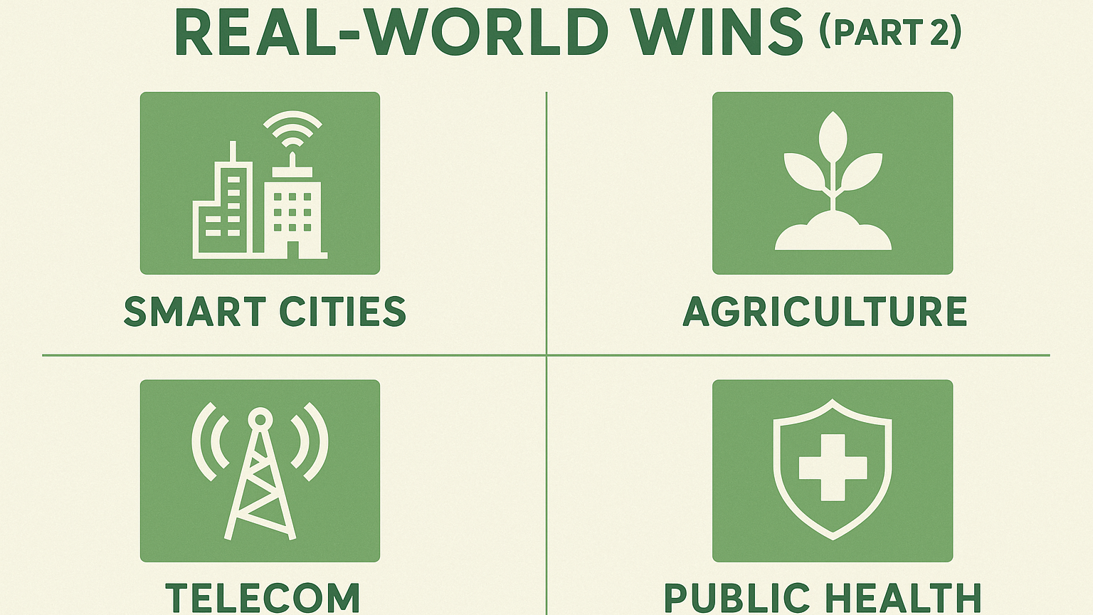
6. Smart Cities and Infrastructure Planning
City planners have access to more location data than ever – traffic flow, service usage, accident reports, weather risks. The challenge is using it wisely.
Real-world use cases:
- Optimizing garbage collection routes to cut fuel usage.
- Mapping “park deserts” to plan green space additions.
- Predicting flood zones using rainfall and elevation data.
- Monitoring road usage to prioritize repairs.
City planners have more real-time data than ever, and the best ones are putting it to use. Location intelligence is helping them tweak traffic signal timings, monitor trash pickup patterns, and map out where parks or healthcare facilities are missing. The result isn’t flashy, but it’s visible in smoother commutes, better service coverage, and infrastructure that feels more in tune with how people actually live.
7. Agriculture: From Field to Map to Harvest
Even farming has gone geospatial. In precision agriculture, every acre tells a different story, and farmers now listen.
Key location intelligence examples in agriculture:
- Using NDVI (vegetation indexes) from drones or satellites to detect crop stress.
- Mapping soil moisture to guide irrigation schedules.
- Targeting fertilizer only where needed using zone-specific maps.
- Tracking harvest patterns over time for better planning.
Agriculture is more data-driven than it looks. With the help of satellite imagery and field sensors, farmers are fine-tuning their irrigation schedules, adjusting fertilizer use, and catching crop issues early. Instead of treating acres like a single unit, they’re managing small zones based on what’s happening underground or in the air that day. That’s not futuristic – that’s already the new normal on many modern farms.
8. Telecom: Bars of Signal, Built on Maps
For telecom providers, service quality depends entirely on geography – terrain, buildings, and population density.
Here’s how they use location intelligence:
- Planning tower placement using topography and user heatmaps.
- Predicting signal drop zones before customers complain.
- Optimizing technician dispatch routes for faster repairs.
- Monitoring device connection logs to identify network strain.
Good phone coverage isn’t magic – it’s planning. Telecom providers are using spatial analytics to figure out where to put towers, how to predict service blackouts, and where technician support needs to be strongest. The shape of a hill, the density of a neighborhood, the clutter of buildings – all of it matters. And when it’s done well, you barely notice. You just get your signal and move on.
9. Public Health and Emergency Response
During crises, location data becomes a matter of life and death. From pandemics to wildfires, response teams rely on maps to act fast and effectively.
What’s being done:
- Tracking disease outbreaks by mapping case clusters.
- Planning ambulance dispatch zones based on incident heatmaps.
- Placing field hospitals or test centers where coverage is low.
- Using drone imagery to assess flood or fire damage remotely.
In emergencies, minutes matter. Whether it’s a health crisis, natural disaster, or wildfire, location intelligence helps teams move faster and make smarter choices. That might mean spotting where infection rates are climbing, figuring out the safest spots for emergency stations, or rerouting people away from danger in real time. It’s the kind of behind-the-scenes coordination that turns chaos into something closer to control.
What All These Examples Have in Common
It doesn’t matter if you’re in retail, healthcare, finance, or farming. The most effective use cases all share a few key ingredients:
- Location data with context: It’s not just “where,” but “why here?”.
- Real-time inputs: Live traffic, mobile data, weather overlays.
- Layered decision-making: Combining spatial, behavioral, and operational data.
- Actionability: The best maps don’t just inform – they drive action.
A Few More Use Cases Worth Mentioning
Not every example needs a full deep dive, but here are a few other places where location intelligence is gaining traction:
- Energy & utilities: Planning EV charger placement based on travel corridors.
- Manufacturing: Picking warehouse sites based on transport maps and delivery demand.
- Education: Mapping underserved school zones for funding allocation.
- Environmental monitoring: Tracking illegal deforestation or pollution via satellite.
How FlyPix AI Uses Location Intelligence
At FlyPix AI, we focus on making geospatial analysis faster, sharper, and accessible to teams who need clarity, not complexity. Instead of spending hours manually analyzing drone or satellite imagery, we let AI agents do the heavy lifting in seconds. Whether it’s monitoring construction zones, mapping agricultural plots, or tracking land use over time, we help teams move from raw images to real-world insight with minimal friction.
The core of what we do ties directly to location intelligence. Every object we detect, every model we train, and every pixel we classify is grounded in spatial relevance. Our users, from environmental scientists to city engineers, use FlyPix AI to detect patterns in the physical world that would otherwise go unnoticed. And because we let them build custom AI models with zero coding required, they can adapt the platform to their exact domain, no matter the industry.
For us, location intelligence isn’t a buzzword. It’s the foundation of how we help people interpret what they see from the sky and make smarter, faster decisions on the ground.
Conclusion: It’s About Seeing the Invisible
Location intelligence isn’t just about where things are. It’s about understanding the relationships between people, infrastructure, and environments in space and time. Used right, it turns blind spots into insight. Waste into opportunity. Gut instinct into data-backed strategy.
And the best part? You don’t need a cartography degree to start using it. With the right tools, location intelligence is becoming more accessible, visual, and decision-ready than ever before.
So the next time you’re wondering why a store is packed, why your package came faster, or why your neighborhood got new flood drains – there’s a good chance spatial data had something to do with it.
FAQ
A regular map shows you where things are. Location intelligence goes further, it helps you understand patterns, behaviors, and context tied to that place. It’s not just where something is, but why it matters there and what to do about it.
Not anymore. Many modern platforms, like FlyPix AI, are designed to be user-friendly. You can train models, analyze imagery, or generate insights without writing a single line of code. It’s more about knowing your goals than knowing Python.
It depends on the source, but in most cases, it’s accurate enough to spot useful trends, like foot traffic shifts or local engagement spikes. You’re not pinpointing someone’s shoe size, but you are seeing where and when groups of people move.
Definitely not. Small teams use it to optimize delivery routes, pick better locations, or reach local audiences more effectively. The tools have scaled down, and now startups, nonprofits, and even solo operators can use spatial insights to work smarter.
Yes, and it already does. Cities use it to position ambulances, reroute traffic during floods, and track the spread of disease. In those moments, every second counts, and location-based decision-making often makes the difference.
You’d be surprised. Microfinance, food trucks, solar panel installers, even nonprofits cleaning up coastlines – they’re all using location data to make better calls. If your work depends on geography, there’s probably a use case.