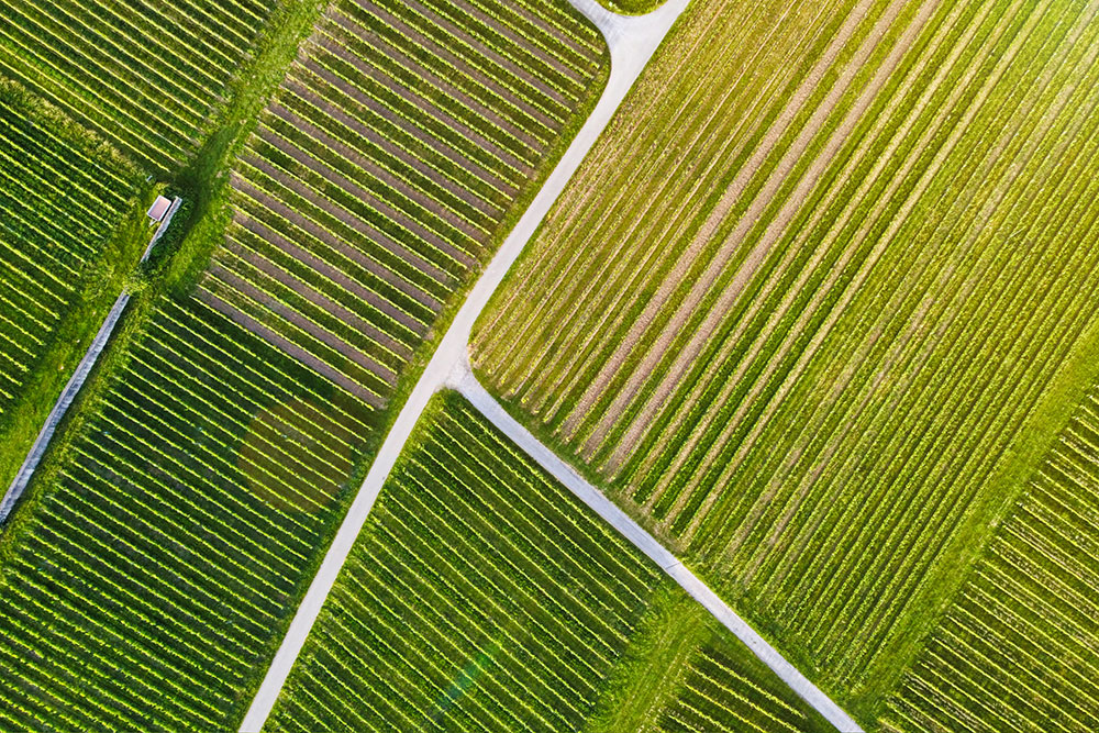
Unmanned aerial vehicles (UAVs), also known as drones, are becoming increasingly popular for a variety of applications, including object detection. In this article, we will look at a specific object detection application with UAVs: detecting and monitoring crops in an agricultural field.
Applications of UAV-based object detection in agricultural environments
Agricultural object detection with UAVs has the potential to revolutionise the way farmers monitor and manage their crops. By using UAVs to scan fields and identify individual plants, farmers can quickly and easily assess the health and growth of their crops. This can help them make more informed decisions about irrigation, fertilization, and pest control, ultimately leading to higher crop yields and reduced costs.
Besides this, using UAVs for agricultural object detection can also reduce the amount of time and labor required for manual field inspections, leading to cost savings and increased efficiency for farmers.
By using high-resolution cameras and other sensors, UAVs can quickly and accurately survey large areas of land, identify potential problems, and provide valuable data to farmers and agricultural workers. For instance, multispectral and thermal cameras can allow UAVs to detect crop health issues such as pests, diseases, and nutrient deficiencies. By identifying these problems early on, farmers can take corrective action and prevent crop loss.
UAVs can also be used to detect irrigation problems, soil erosion, and other issues that may affect crop yield. For example, if an irrigation system is not functioning properly, it may result in uneven watering of the crops, leading to patches of healthy and unhealthy plants. By quickly identifying these areas, farmers can take corrective action to fix the irrigation system and improve crop yield.
In addition to improving crop management, UAVs can also be used for livestock monitoring and pasture management. By using UAVs to detect animal behaviour patterns, farmers can identify potential health issues and take action to prevent further problems.
Challenges
Despite its huge potential, implementing object detection with UAVs for agricultural purposes is not without its challenges. One major challenge is the variability in the appearance of crops. Depending on the type of crop, lighting conditions, and other factors, the same plant can look very different from one day to the next. This can make it difficult for object detection algorithms to accurately identify individual plants.
To overcome this challenge, it is important to use a dataset of UAV imagery that is representative of the variability in crop appearance. This can be achieved by collecting imagery over a period of time and in a variety of lighting conditions. It is also important to use a large dataset, as this can help the object detection model generalize better to new images.
Once a suitable dataset has been collected, the next step is to train the object detection model to identify individual plants in the UAV imagery.
Once the object detection model has been trained and tested, it can be deployed on a UAV for real-time object detection in the field. The UAV can then be flown over the field and the object detection model can identify individual plants in the imagery in real time.
Overall, object detection with UAVs has the potential to greatly benefit the agricultural industry. By using UAVs to scan fields and identify individual plants, farmers can more efficiently manage their crops and improve yields. While there are challenges and ethical considerations to consider, the use of UAVs for agricultural object detection is a promising area of research and development.
How can we help?
If you are looking to leverage the potential of aerial object detection to assess the health and growth of crops, reduce manual field inspections or monitoring livestock, FlyPix AI can provide you with the tools you need to increase the overall efficiency of your agricultural operations.
Contact us today to get started


