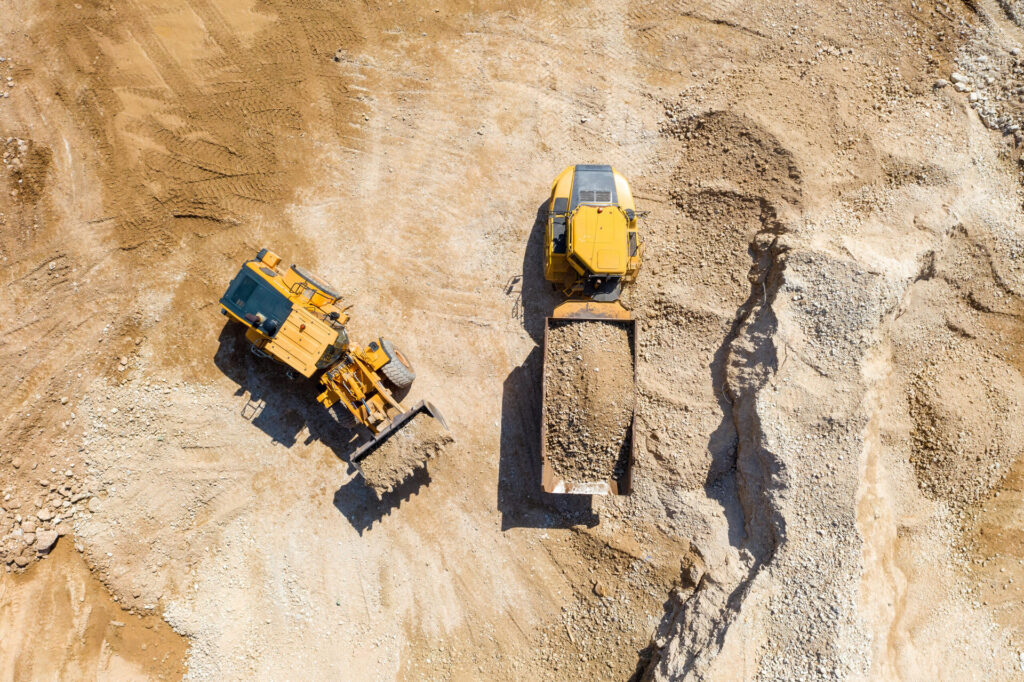
The use of AI-powered object detection for aerial imagery is transforming the way we plan, design, and manage infrastructure. With the ability to analyze high-quality images in an automated way, AI-powered object detection can support a wide range of infrastructure-related tasks, including road construction, building inspections, and urban planning. In this blog post, we will explore how AI-powered object detection for aerial imagery is revolutionizing infrastructure planning and management and what it means for the future of these industries.
Improving Accuracy and Efficiency
One of the main advantages of AI-powered object detection in infrastructure planning and management is its ability to improve accuracy and efficiency. Traditional methods of data collection, such as ground surveys or manual inspections, can be time-consuming, labor-intensive, and prone to errors. These methods also have limitations in terms of accuracy and coverage, as certain areas may be inaccessible or difficult to reach. By contrast, AI-powered object detection can be used to analyze high-resolution aerial images of infrastructure assets and locations to enable more accurate assessments and planning.
Enhancing Safety and Security
Another benefit of AI-powered object detection for aerial imagery in infrastructure planning and management is its ability to enhance safety and security. By leveraging it’s monitoring capabilities, it can help detect potential hazards or security threats, allowing for timely interventions and preventative measures.
For example, it can be used to monitor the condition of bridges and other infrastructure assets in real-time, detecting signs of wear and tear or potential structural issues before they become critical. Similarly, it can be used to monitor construction sites for safety violations or potential security breaches, allowing for timely interventions to prevent accidents or damage.
On the other hand, by reducing the need for manual inspections in hazardous areas, such as construction sites or oil rigs, AI-powered object detection for aerial imagery can help prevent accidents and injuries and create safer working conditions for employees in a variety of industries.
Cost Reduction
Another key benefit of AI-powered object detection for aerial imagery is its potential to help save costs associated with infrastructure planning and management. By reducing the need for manual inspections and surveys, this technology can help save costs related to labor, equipment, and resources. Additionally, it can also help reduce the costs associated with maintenance and repairs. By detecting potential issues early, this technology can help prevent small problems from becoming larger, more costly ones. This can help save money on repairs, maintenance, and replacement costs over the long term.
Conclusion
AI-powered object detection aerial imagery has the potential to revolutionize infrastructure planning and management by improving accuracy and efficiency, reducing costs and enhancing safety and security. While there are some challenges and limitations to consider, the potential benefits of this technology are significant. With the right precautions and measures in place, AI-powered aerial imagery can support the development of safer, more efficient, and more sustainable infrastructure projects, paving the way for a brighter future for our cities and communities.
At the forefront of this technology is FlyPix AI, a platform that is pioneering the use of AI-powered object detection for aerial imagery to support a wide range of industries, including construction. With its advanced image recognition and analysis capabilities, FlyPix AI is enabling stakeholders to make more informed decisions, improve safety and efficiency.
If you’re interested in learning more about how FlyPix AI can support your infrastructure planning and management needs, contact us to learn more.


