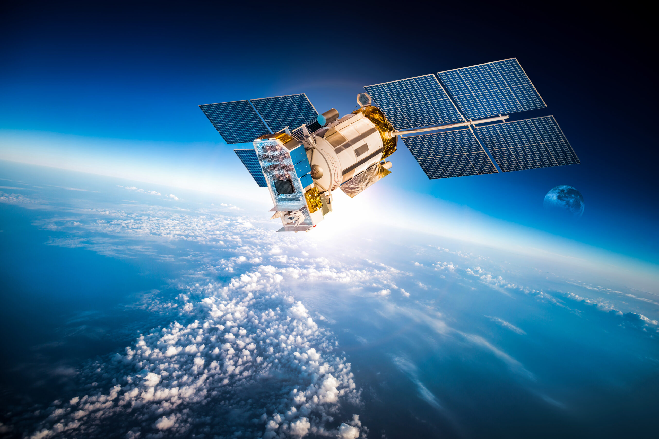
Time-Series Analysis of Satellite Data: Unveiling Trends and Patterns

In the realm of geospatial data analysis, the ability to capture and interpret changes over time is a powerful tool. Time-series analysis of satellite imagery is a valuable resource for exploring the ever-changing processes occurring on our planet. By gathering and scrutinizing images taken over various time periods we can unveil trends and patterns in […]
How Satellite Imagery Object Detection can support Wildlife Conservation

Object detection in satellite imagery can be a powerful tool for wildlife and forest conservation. By using advanced algorithms and machine learning techniques, researchers and conservationists can quickly and accurately survey large areas of land, identify different species of animals and plants, and monitor changes over time. Applications One way that object detection in satellite […]