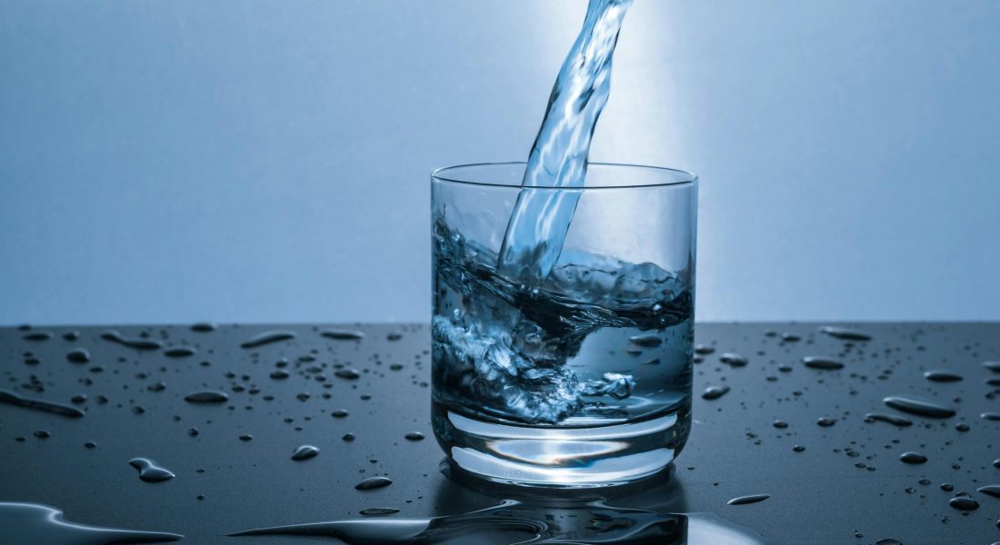
Clean water doesn’t just happen – it’s monitored, tested, and safeguarded using tools that are getting smarter every year. Whether it’s a river near a city or a reservoir feeding a farm, today’s water quality monitoring systems can spot subtle changes long before they become big problems. From real-time sensors to AI-powered image analysis, the new generation of tools is helping scientists, municipalities, and even small communities make faster, more confident decisions about their water.

1. FlyPix AI
At FlyPix, we analyze geospatial images to identify objects across complex landscapes. Our platform enables us to work efficiently with dense and detailed scenes without having to manually scan through every image. By applying AI-driven detection, we can track changes, spot anomalies, and outline multiple objects with precision, making our workflow smoother when handling large areas.
We also study and monitor water quality using advanced image analysis. With the flexibility to train custom models based on user-defined annotations, we can detect specific objects in images according to each project’s needs – without requiring programming skills or deep AI expertise. By combining object detection with continuous monitoring, we’re able to observe patterns and developments over time, supporting applications in environmental studies, agriculture, and infrastructure projects.
Key Highlights:
- AI-driven detection of multiple objects in geospatial imagery
- Works with complex and dense image scenes
- Customizable models using user-defined annotations
- Supports monitoring and change detection over time
Who it’s best for:
- Teams analyzing large geospatial datasets
- Environmental and agricultural monitoring projects
- Construction and infrastructure inspection
- Organizations needing automated object detection in imagery
Contact and Social Media Information:
- Website: flypix.ai
- Email: info@flypix.ai
- LinkedIn: www.linkedin.com/company/flypix-ai
- Address: Robert-Bosch-Str. 7, 64293 Darmstadt, Germany
- Phone: +49 6151 2776497

2. EOMAP
EOMAP focuses on providing satellite-based solutions for environmental monitoring. Their tools allow users to observe and analyze coastal and inland water areas on a global scale. By processing remote sensing data, they help monitor water conditions, detect changes over time, and support environmental research without needing to be physically on site.
The platform integrates environmental intelligence with mapping technology, offering users the ability to track water quality indicators across large and often inaccessible regions. This makes it useful for research projects, environmental assessments, and managing water-related resources efficiently.
Key Highlights:
- Satellite-based monitoring of inland and coastal waters
- Supports analysis of environmental changes over time
- Provides mapping and visualization of water quality indicators
- Enables remote observation without field visits
Who it’s best for:
- Environmental researchers and scientists
- Government agencies monitoring water bodies
- Organizations managing coastal and inland water resources
- Academic institutions studying water systems
Contact Information:
- Website: eomap.com
- E-mail: info@eomap.de
- LinkedIn: www.linkedin.com/company/eomap-gmbh-&-co–kg
- Address: Schlosshof 4a 82229 Seefeld, Germany
- Phone: +49 (0) 8152 9986 110

3. WQData LIVE
WQData LIVE is a platform designed for collecting and sharing environmental data in real time. It moves away from traditional manual sampling and complex data logging by using connected devices and cloud-based data management. Users can gather information from multiple locations and centralize it for analysis and reporting.
The system supports real-time updates and allows teams to collaborate on monitoring projects efficiently. Its approach makes it easier to track water quality trends, detect anomalies, and share results with stakeholders, all while simplifying the technical requirements for field operators.
Key Highlights:
- Real-time data collection and sharing
- Cloud-based platform for centralized monitoring
- Reduces the need for manual sampling and complex wiring
- Simplifies collaboration across teams and locations
Who it’s best for:
- Environmental monitoring teams
- Municipal and regional water authorities
- Community science projects
- Researchers tracking water quality over multiple sites
Contact Information:
- Website: wqdatalive.com
- E-mail: info@nexsens.com
- Address: 2091 Exchange Court Fairborn, OH 45324
- Phone: 937-426-2703

4. SafetyCulture
SafetyCulture provides a mobile-first platform that supports operational monitoring, including aspects of water quality management. Users can create workflows, checklists, and templates to standardize data collection and inspections. The platform emphasizes
structured reporting and documentation.
While not exclusively a water quality tool, its framework helps teams track conditions, record observations, and maintain consistent monitoring routines. The integration of digital workflows reduces errors and helps teams stay organized in field monitoring activities.
Key Highlights:
- Mobile-first platform for inspections and monitoring
- Customizable workflows and checklists
- Supports structured data collection and reporting
- Reduces errors and improves consistency in field work
Who it’s best for:
- Field teams conducting environmental inspections
- Organizations needing standardized monitoring procedures
- Municipal departments managing water systems
- Teams coordinating multiple sites or projects
Contact Information:
- Website: safetyculture.com
- Email: support@safetyculture.com
- Facebook: www.facebook.com/SafetyCultureTeam
- Twitter: x.com/SafetyCultureHQ
- LinkedIn: www.linkedin.com/company/safetyculturehq
- Instagram: www.instagram.com/safetyculturehq
5. The Watershed Project
The Watershed Project focuses on monitoring the health of creeks and waterways, particularly in Contra Costa County. It combines community participation and volunteer efforts with organized data collection to provide insights into water conditions and environmental impacts. The project tracks a range of water quality factors in both urban and natural settings.
By using structured programs for monitoring, the project helps identify pollution sources, changes in water quality over time, and the effects of impervious surfaces like roads and buildings. Its approach encourages local engagement and provides a clearer understanding of water system health in community environments.
Key Highlights:
- Community-driven water quality monitoring
- Focuses on creeks and smaller waterways
- Tracks environmental impacts from urban and natural areas
- Provides data for local environmental management and education
Who it’s best for:
- Community groups and volunteers
- Local environmental organizations
- Educators teaching about watershed health
- Researchers studying small waterways
Contact Information:
- Website: thewatershedproject.org
- E-mail: info@thewatershedproject.org
- Facebook: www.facebook.com/thewatershedproject
- LinkedIn: www.linkedin.com/company/the-watershed-project
- Instagram: www.instagram.com/thewatershedproject_
- Address: 1327 South 46th Street Building 155 Richmond, CA 94804
- Phone: +1 (510) 665 – 3430

6. Lake Observer
Lake Observer is a mobile platform for both researchers and community scientists to record observations about lakes and other freshwater systems. It allows users to contribute data on water quality, environmental changes, and ecological conditions, supporting larger-scale data collection and research efforts.
The tool is part of a crowd-sourcing initiative that encourages widespread participation in environmental monitoring. By consolidating observations from many users, it helps provide a broader picture of water health across different geographic locations and supports ongoing research and educational projects.
Key Highlights:
- Mobile app for lake and freshwater monitoring
- Supports contributions from researchers and community members
- Part of a crowd-sourced environmental data platform
- Tracks water quality and ecological observations
Who it’s best for:
- Researchers and academic projects
- Community scientists and volunteers
- Environmental education programs
- Organizations monitoring lake health
Contact Information:
- Website: www.lakeobserver.org
- Google Play: play.google.com/store/apps/lakeobserver.observer

7. YSI
YSI’s EXO Sonde Platform offers instruments for monitoring water quality across oceans, rivers, lakes, and groundwater. It combines sensors and data logging technology to measure a wide range of environmental parameters, enabling systematic observation of aquatic systems.
The platform is designed for long-term deployments and field studies, providing reliable data for understanding water conditions over time. Its modular design allows users to customize sensor setups depending on the type of water body or specific research focus.
Key Highlights:
- Multi-parameter water quality monitoring
- Suitable for oceans, rivers, lakes, and groundwater
- Modular and customizable sensor setup
- Supports long-term deployments and field studies
Who it’s best for:
- Environmental scientists and researchers
- Agencies monitoring water bodies
- Field teams conducting long-term water studies
- Academic institutions studying aquatic systems
Contact Information:
- Website: www.ysi.com
- E-mail: ysi.info@xylem.com
- Facebook: www.facebook.com/myYSI
- LinkedIn: www.linkedin.com/company/ysi
- Instagram: www.instagram.com/ysiinc
- Address: 1700/1725 Brannum Lane Yellow Springs, Ohio 45387-1107 USA
- Phone: +1 877-726-0975
8. NAUTILOS
NAUTILOS is a research initiative focused on advancing marine observation technologies. It develops cost-effective sensors and samplers that integrate into larger monitoring platforms for observing water conditions at sea. The goal is to make marine monitoring more accessible and scalable across different regions.
By combining new technologies with large-scale demonstrations, NAUTILOS supports the collection of data on marine environmental conditions. Its approach enables researchers and organizations to observe, track, and understand ocean ecosystems more efficiently over time.
Key Highlights:
- Develops sensors and samplers for marine monitoring
- Integrates observation technologies into large-scale platforms
- Supports cost-effective and scalable data collection
- Focused on ocean and coastal environmental research
Who it’s best for:
- Marine scientists and researchers
- Organizations conducting ocean monitoring
- Institutions testing large-scale environmental technologies
- Projects studying marine ecosystems
Contact Information:
- Website: nautilos-h2020.eu
- E-mail: coordination@nautilos-h2020.eu
- Facebook: www.facebook.com/nautilos.h2020
- Twitter: x.com/NAUTILOS_H2020
- LinkedIn: www.linkedin.com/company/nautilos
9. Pocket Science
Pocket Science develops scientific tools and platforms for citizen science and research applications. Their technologies include apps and devices for monitoring water and air quality, enabling users to collect and share environmental data in a structured way.
Tools from Pocket Science are designed to be accessible, allowing both researchers and community members to participate in monitoring efforts. They support privacy-conscious data collection and facilitate widespread engagement in environmental observations.
Key Highlights:
- Platforms for citizen science and research
- Supports water and air quality monitoring
- Enables structured data collection and sharing
- Focus on accessibility and privacy-conscious monitoring
Who it’s best for:
- Citizen scientists and volunteers
- Researchers needing distributed monitoring data
- Educators and community projects
- Individuals interested in water quality tracking
Contact Information:
- Website: pocket.science
- E-mail: web@pocket.science
- Address: Kloosterweg 1 6412 CN Heerlen
- Phone: +31 45 20 31 008

10. GoCanvas Water Testing App
GoCanvas provides a mobile app for tracking water testing results in a variety of settings, from drinking water and wells to pools and storage tanks. It allows field operators to record test results, treatments, and related observations in a digital format.
The app simplifies field data collection by providing structured forms and the ability to access and share data remotely. It is useful for teams needing to maintain records, track trends, and ensure consistent monitoring across multiple sites.
Key Highlights:
- Mobile app for recording water test results
- Covers wells, pools, drinking water, and storage tanks
- Allows remote data access and sharing
- Supports structured field data collection
Who it’s best for:
- Local health departments
- Water testing teams in utilities
- Field operators managing multiple water sites
- Organizations tracking water quality trends
Contact Information:
- Website: www.gocanvas.com
- Facebook: www.facebook.com/MyGoCanvas
- Twitter: x.com/GoCanvas
- LinkedIn: www.linkedin.com/company/gocanvas
- Instagram: www.instagram.com/gocanvas_hq
- Address: 11911 Freedom Dr, Suite 400 Reston, VA 20190 USA
- Phone: 703-436-8069

11. Wisewell
Wisewell focuses on water purification using filtration technology. Their systems aim to remove contaminants such as microplastics, PFAS, and lead, providing safer water for consumption. While the core focus is treatment rather than monitoring, their approach involves understanding and addressing water quality issues.
These solutions integrate filtration into daily water use, offering a practical way to reduce contaminants and improve overall water safety. While not a monitoring platform, their approach emphasizes awareness of water quality challenges and actionable steps to mitigate them.
Key Highlights:
- Filtration systems targeting contaminants
- Reduces lead, PFAS, and microplastics
- Supports safer water for daily use
- Focus on practical water safety solutions
Who it’s best for:
- Households concerned with water contaminants
- Organizations providing safe water access
- Facilities managing water quality in daily operations
- Communities using filtration for water safety
Contact Information:
- Website: www.wisewell.com
- E-mail: support@wisewell.com
- Google Play: play.google.com/store/apps/wisewell.wisewell
- App Store: apps.apple.com/ae/app/wisewell/id1604847149
12. Stroud Water Research Center
Stroud Water Research Center is dedicated to freshwater research and watershed restoration. They conduct studies on water quality, ecosystem health, and freshwater stewardship, often combining field research with educational programs.
Their work emphasizes understanding aquatic systems through data collection and analysis, as well as promoting strategies for watershed management and protection. By combining science and outreach, they support long-term water quality monitoring and community engagement.
Key Highlights:
- Freshwater research and watershed restoration
- Combines field data collection with educational programs
- Supports ecosystem and water quality studies
- Focuses on community engagement and stewardship
Who it’s best for:
- Researchers studying freshwater ecosystems
- Environmental educators and outreach programs
- Organizations involved in watershed management
- Communities interested in water stewardship
Contact Information:
- Website: stroudcenter.org
- E-mail: webmaster@stroudcenter.org
- Facebook: www.facebook.com/stroudcenter
- LinkedIn: www.linkedin.com/company/stroudcenter
- Instagram: www.instagram.com/stroudcenter
- Address: 970 Spencer Road, Avondale, Pennsylvania, 19311, USA
- Phone: +1 610-268-2153.
Conclusion
Monitoring water quality is never a one-size-fits-all task. Each tool we’ve looked at offers a different way to gather, analyze, or track water data, and combining approaches often gives the clearest picture. From satellite imagery and AI detection to community-driven observations and mobile apps, there’s a variety of methods that help us understand what’s happening in lakes, rivers, and coastal areas.
At the end of the day, the value comes from using these tools to stay aware, spot changes early, and make informed decisions. Whether we’re researchers, volunteers, or part of a local water authority, having access to the right monitoring systems makes it easier to see patterns, respond to issues, and contribute to healthier water systems over time. It’s less about having the fanciest gadget and more about putting the tools to work in ways that actually help us understand and protect the water around us.
