
Top Geospatial Analysis Companies
Geospatial analysis is a key tool for businesses and governments alike, helping to understand the world through the
Geospatial analysis is a key tool for businesses and governments alike, helping to understand the world through the

Reality Capture is revolutionizing how office buildings are designed, constructed, and managed. Using advanced 3D scanning technologies like
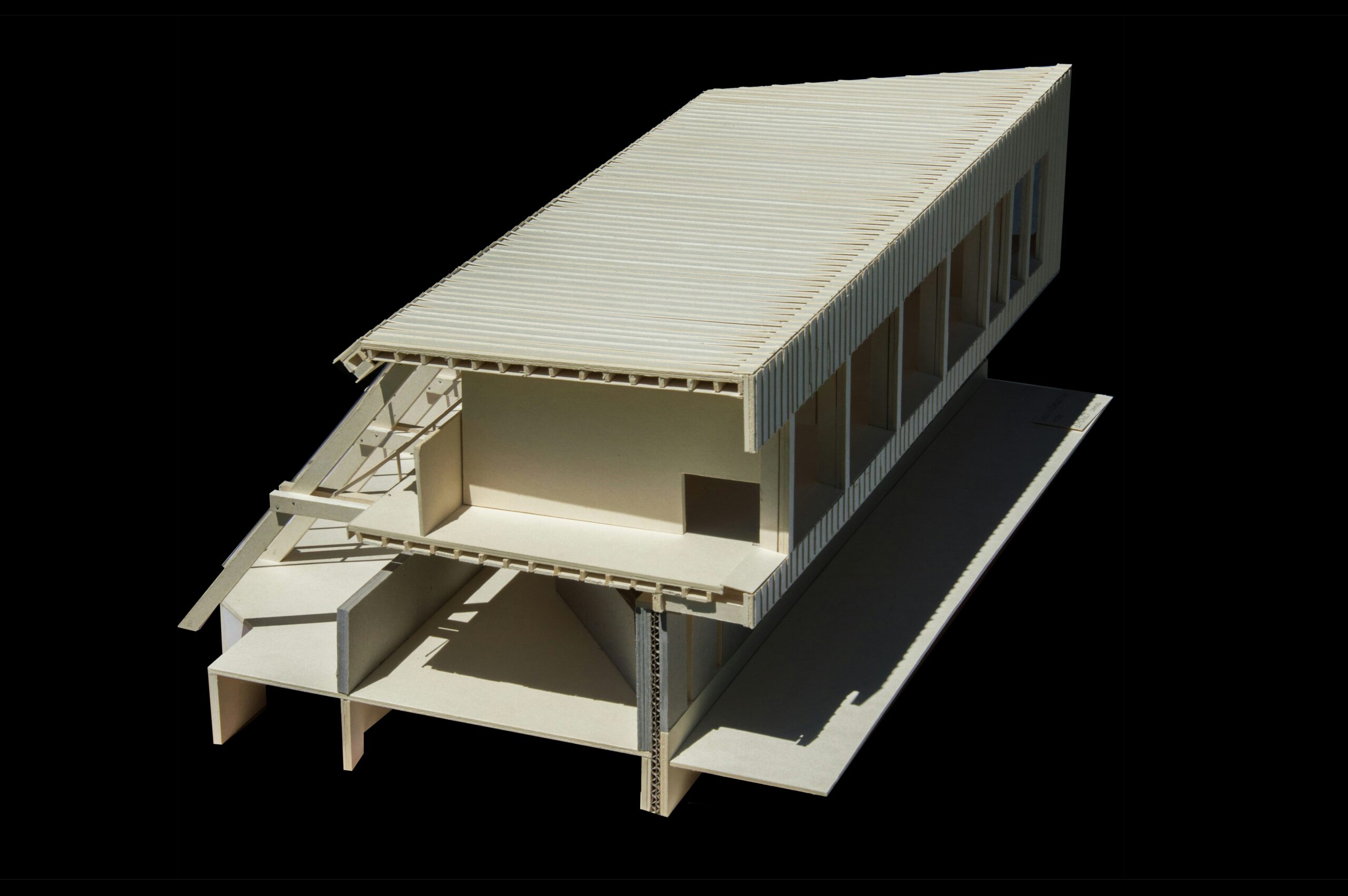
3D reality capture is changing the way buildings are designed, constructed, and managed. By using advanced scanning technologies

Reality capture is the fascinating process of transforming the physical world-your cluttered desk, a sprawling park, or a

Reality Capture is changing the way surveyors collect and analyze data. With advanced tools like LiDAR, drones, and

Mixed reality capture lets you blend real-life footage with virtual elements in real time. Whether you’re a gamer,

Wetlands play a crucial role in our environment – they store carbon, filter water, and provide habitats for

Keeping plants healthy isn’t just about watering them regularly – it’s about understanding their condition at a deeper

Glaciers are melting faster than ever, and keeping track of them is crucial for understanding climate change. Scientists