
Leading Remote Sensing Companies in the USA
Remote sensing technologies play a crucial role in industries ranging from agriculture to defense. In the USA, several

Remote sensing technologies play a crucial role in industries ranging from agriculture to defense. In the USA, several

Earth observation tools play a critical role in monitoring the planet’s surface, atmosphere, and oceans. These tools, ranging

Whether you’re managing a farm, monitoring forests, or working in environmental science, understanding vegetation health is key. Thankfully,
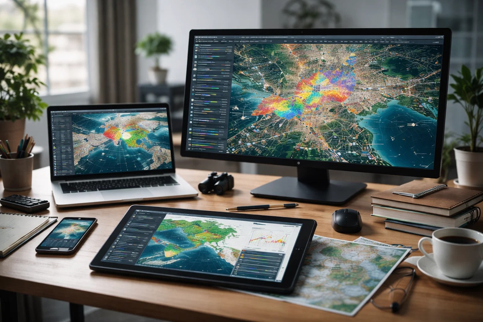
Ever used a GPS app to find your way around? That’s geospatial tech at work. But beyond helping

Mine rehabilitation is a critical step in ensuring that mining operations leave minimal environmental impact. The right tools

Surface anomaly detection plays a critical role in monitoring operational systems, identifying faults, and ensuring consistent performance across

Satellite image interpretation plays a critical role in understanding land use, environmental change, and infrastructure development. Raw satellite

Land cover classification is essential in environmental monitoring, urban planning, and agricultural management. But producing reliable maps and

Geospatial intelligence (GEOINT) plays a vital role in national security, disaster response, urban planning, and commercial decision-making. In