Top Space Companies in Houston
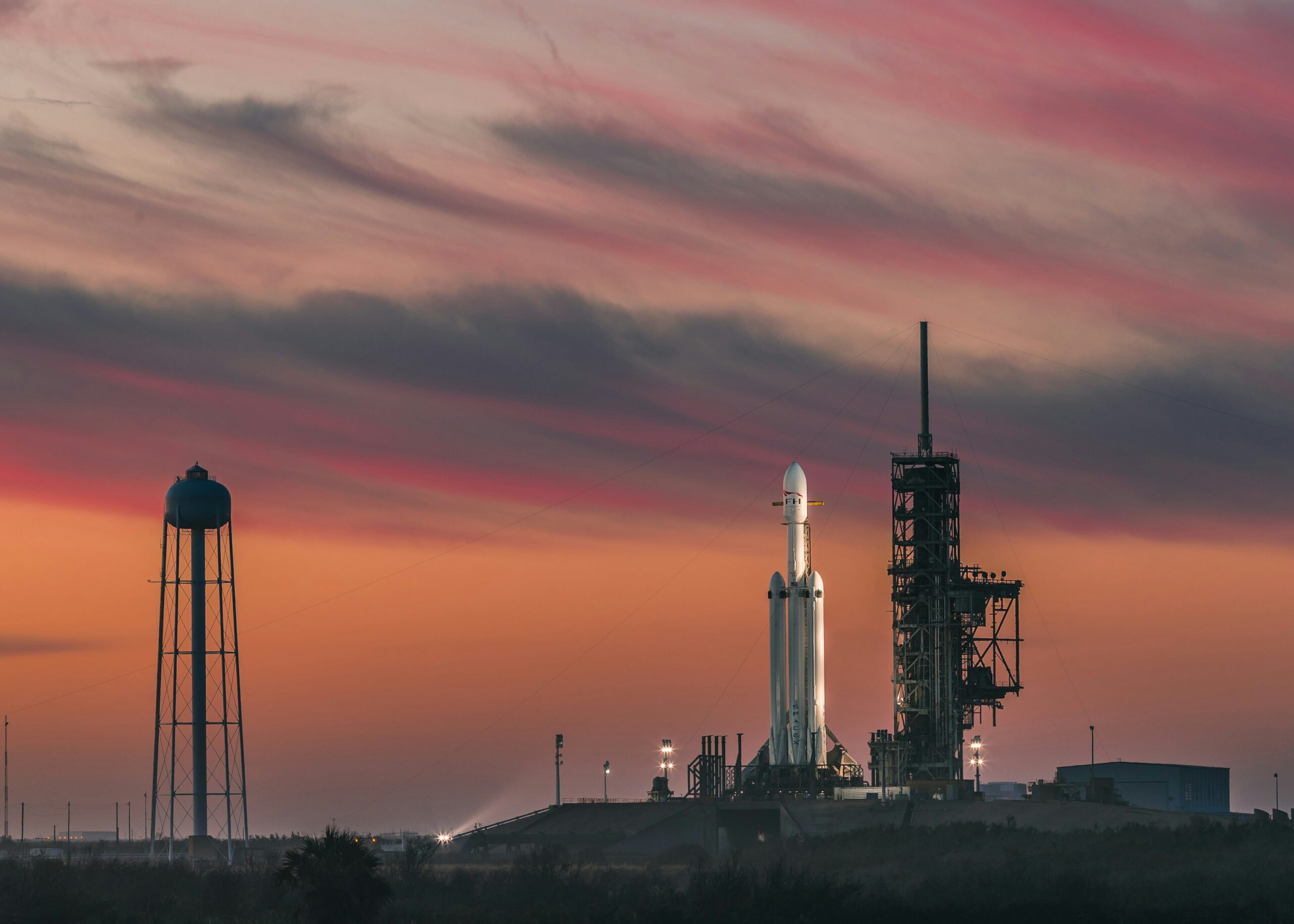
Houston, known as the “Space City,” is a cornerstone of global aerospace innovation. From NASA’s iconic Johnson Space
Houston, known as the “Space City,” is a cornerstone of global aerospace innovation. From NASA’s iconic Johnson Space

As humanity’s ventures into space expand, so does the need for advanced space domain awareness (SDA) solutions. These

Space exploration has captivated humanity for generations, sparking innovation and pushing the boundaries of what’s possible. Today, leading

Confined spaces pose unique hazards, requiring expert rescue services and safety protocols to protect workers and meet compliance

Denver has earned its place as a hub for aerospace innovation, hosting a variety of leading space companies

The space industry is undergoing a transformative era, driven by technological breakthroughs and ambitious exploration goals. From private
China’s space sector has grown significantly over the past decade, becoming a major force in global aerospace innovation.

Huntsville, Alabama, fondly known as the Rocket City, is a hub for space exploration and innovation. Home to

California has established itself as a global hub for space exploration and technology, hosting some of the most