
Top Drone Companies Shaping the Future of UAV Technology
Drones have become indispensable tools across numerous industries, from photography and filmmaking to agriculture and industrial inspections. With
Drones have become indispensable tools across numerous industries, from photography and filmmaking to agriculture and industrial inspections. With

Drone technology has rapidly evolved, impacting various sectors from agriculture to public safety. Companies specializing in drone technology

Australia’s drone industry is rapidly growing, with companies offering innovative solutions across various sectors. From aerial photography and

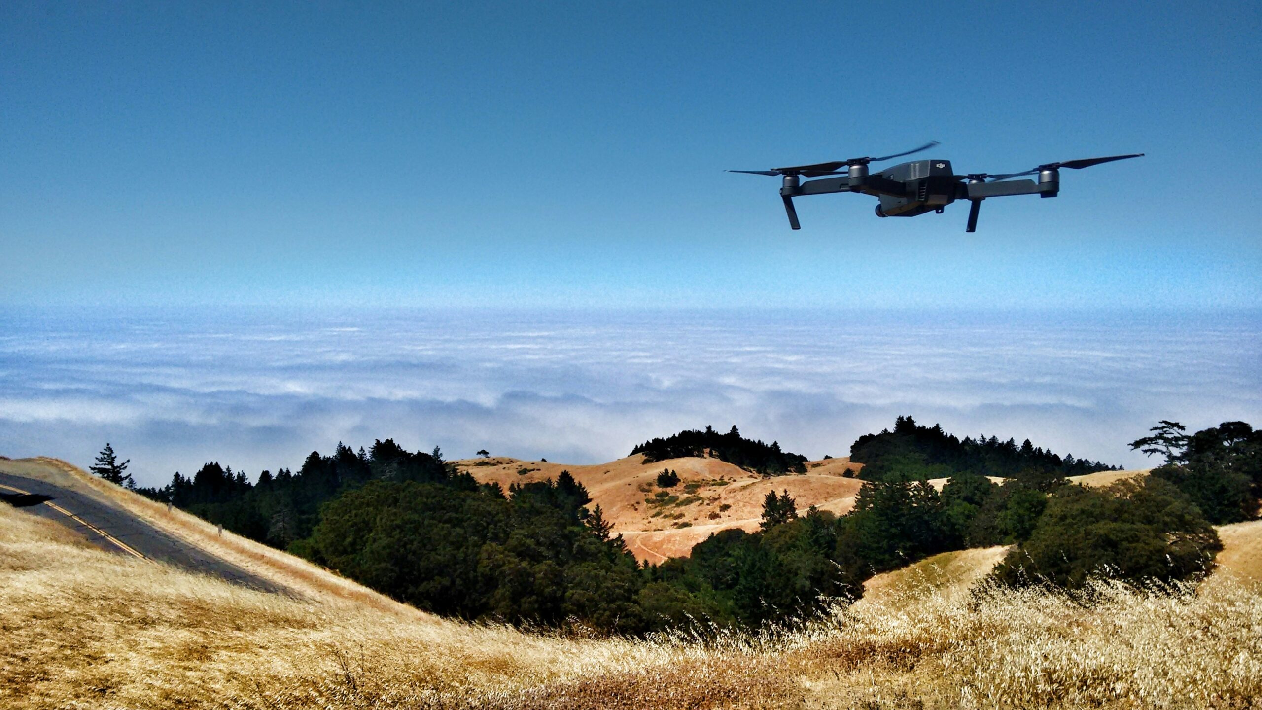
San Francisco is home to some of the most innovative drone companies in the world, driving advancements in
The concept of drone taxis is rapidly becoming a reality as innovative companies develop aerial vehicles designed to

Drone imaging has revolutionized the way we capture, analyze, and utilize aerial data across industries such as agriculture,
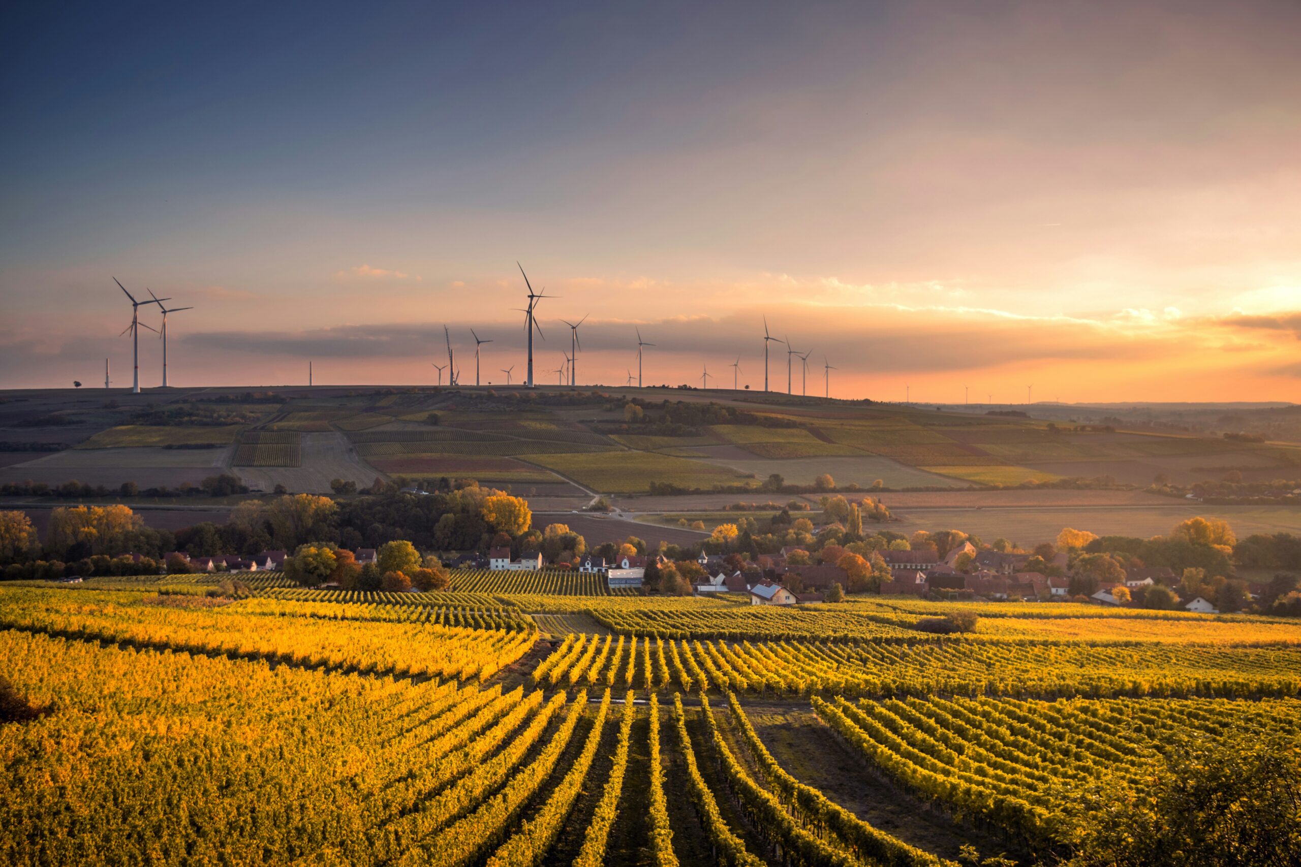
Drone technology is transforming modern agriculture, with drone spraying services emerging as a key innovation in precision farming.

The UK is home to a growing number of innovative drone companies at the forefront of the aerial

Drone light shows are revolutionizing the way we experience entertainment, replacing traditional fireworks with captivating, eco-friendly aerial displays.