
3D City Planner Review: 4D Urban Planning Tool (2026)
Quick Summary: 3D City Planner is a web-based urban planning platform that combines real-time 3D visualization with GIS

Quick Summary: 3D City Planner is a web-based urban planning platform that combines real-time 3D visualization with GIS

Quick Summary: The 2-0 LCA Land Use Change tool is a sophisticated model designed to integrate the environmental
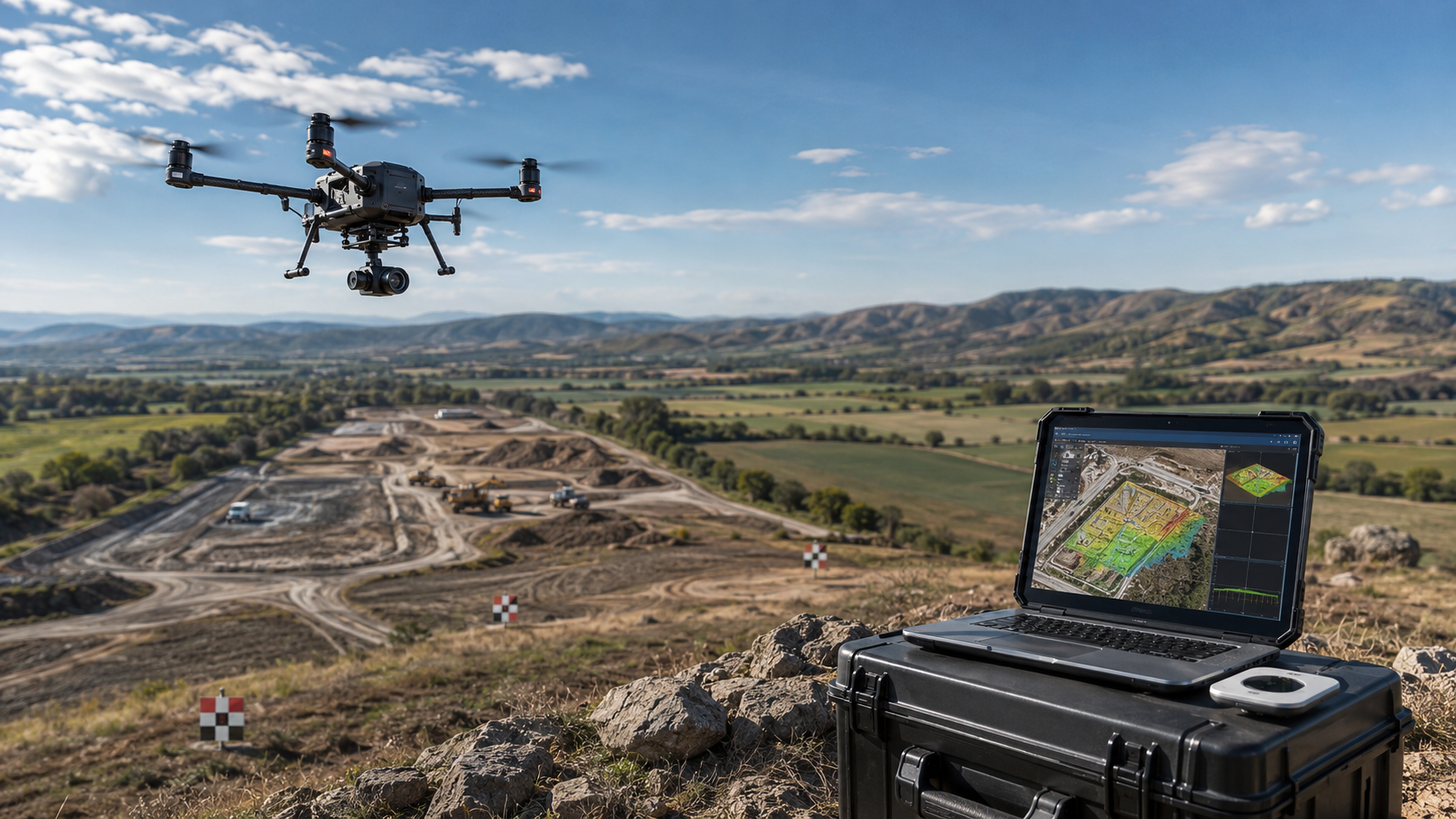
Top companies in the geospatial space are redefining what’s possible with aerial survey solutions. They combine high-resolution drone
Top companies in the geospatial sector have developed highly effective land management software solutions that transform how organizations

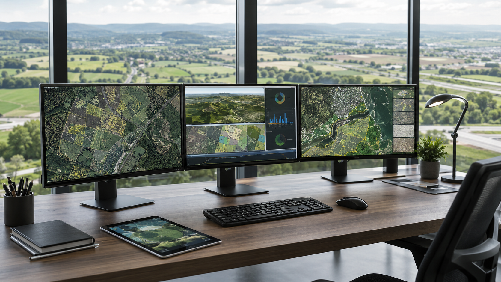
In today’s fast-moving world, top companies are turning to advanced geospatial management solutions to handle vast amounts of

Farmers today face growing pressure to produce more with less while keeping a close eye on every hectare.

Mining has never really been short on data. Sensors track equipment, drones capture site images, systems log every

Ports don’t really slow down anymore. Containers arrive, stack up, move out, and the whole thing keeps going

Most teams don’t struggle with collecting images anymore. If anything, there’s too much of it – satellite data,