
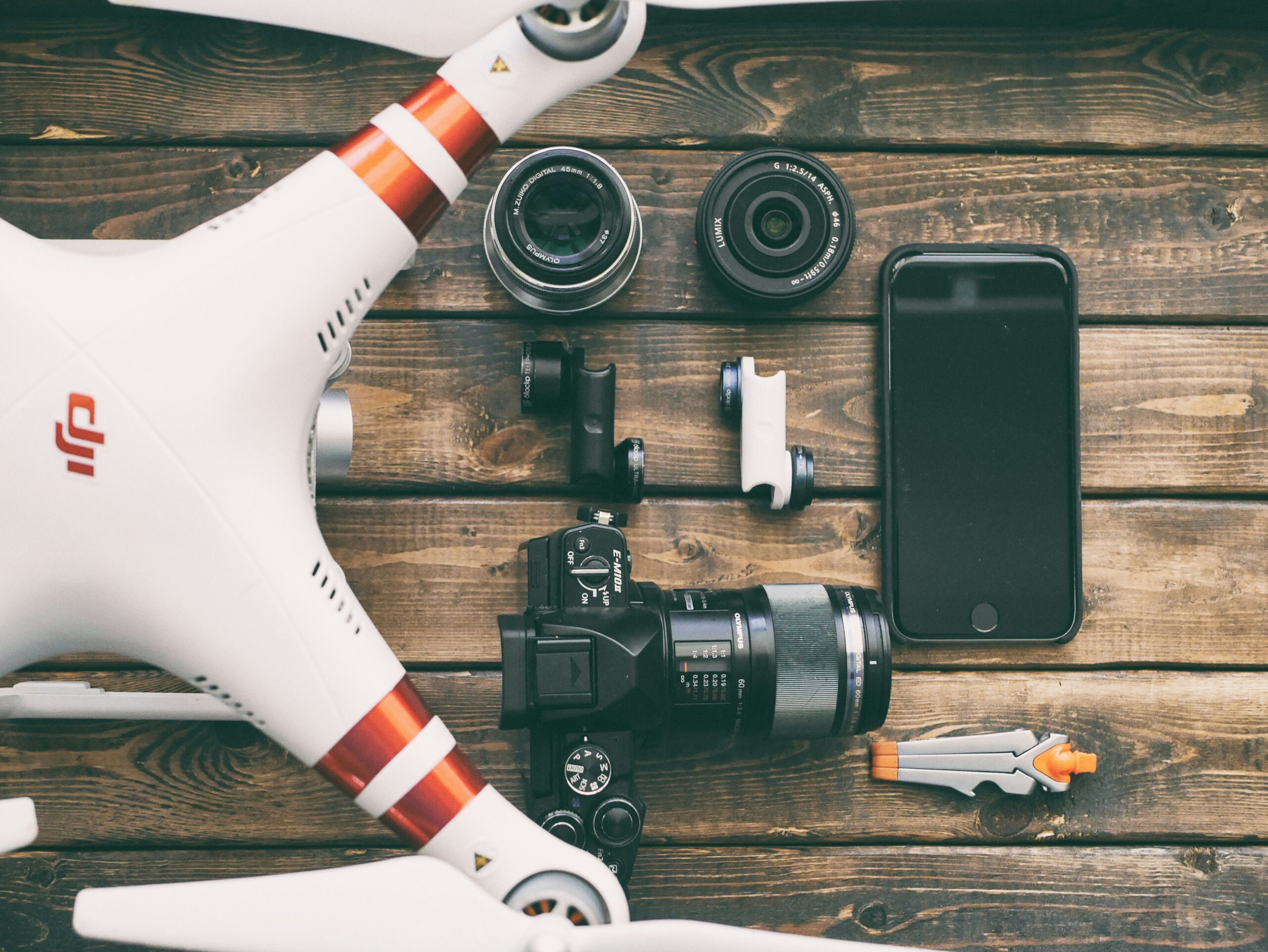
Principales empresas de fabricación de drones en 2024
La industria de los drones ha evolucionado rápidamente y numerosas empresas lideran innovaciones en tecnología aérea. Estas empresas están revolucionando

Principales empresas de drones en los Emiratos Árabes Unidos
Los Emiratos Árabes Unidos están emergiendo como líderes en tecnología de drones, con una variedad de empresas que ofrecen servicios aéreos de vanguardia.

Principales empresas de marketing con drones
El marketing con drones está transformando rápidamente la forma en que las marcas llegan a sus audiencias al ofrecer contenido único y cautivador desde el

Principales empresas de drones en Virginia
Virginia se ha convertido en un centro de tecnología innovadora para drones, con varias empresas que ofrecen servicios especializados en distintas industrias.
Las mejores compañías de seguros para drones para proteger su UAV
El seguro para drones es esencial tanto para los operadores de drones recreativos como comerciales para protegerse contra posibles riesgos y garantizar

Las principales empresas de drones de Colorado impulsan la innovación aérea
Los diversos paisajes de Colorado y su creciente escena tecnológica lo convierten en un lugar privilegiado para la innovación con drones. Desde la topografía aérea
Las empresas de drones de más rápido crecimiento que revolucionan la industria
A medida que los drones continúan ganando terreno en varios sectores, varias empresas están surgiendo como líderes en innovación y

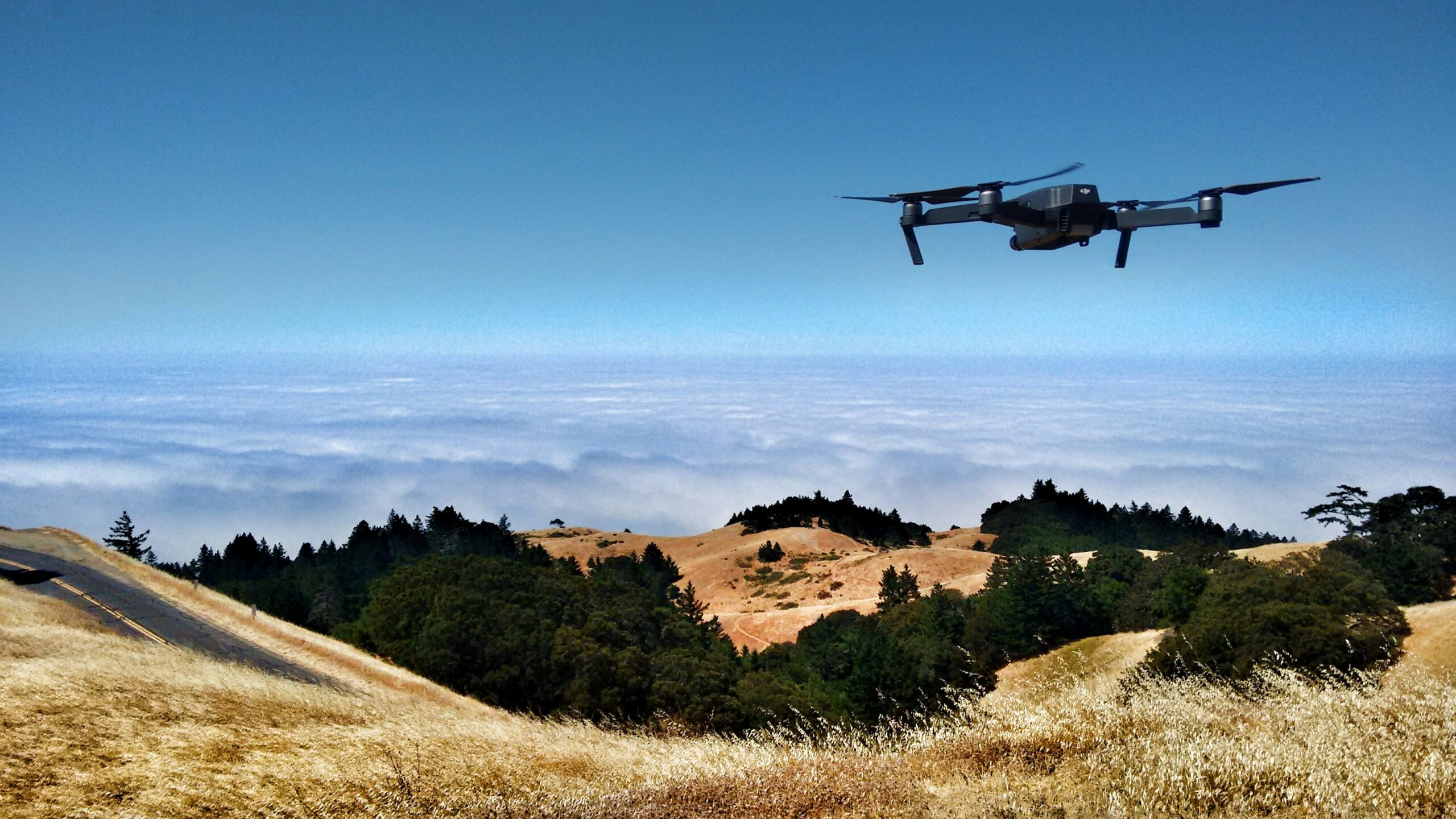
Las principales empresas de drones del Área de la Bahía impulsan la innovación
El Área de la Bahía es un centro de innovación tecnológica y la industria de los drones no es una excepción.
Principales empresas de drones con inteligencia artificial que transforman las industrias modernas
La integración de la inteligencia artificial con la tecnología de los drones ha abierto nuevas fronteras en diversas industrias. Desde la agricultura de precisión