
Las mayores empresas de drones que darán forma al futuro de la tecnología aérea en 2024
A medida que la tecnología de los drones continúa evolucionando, varias empresas han pasado a la vanguardia de la industria, impulsando la innovación.
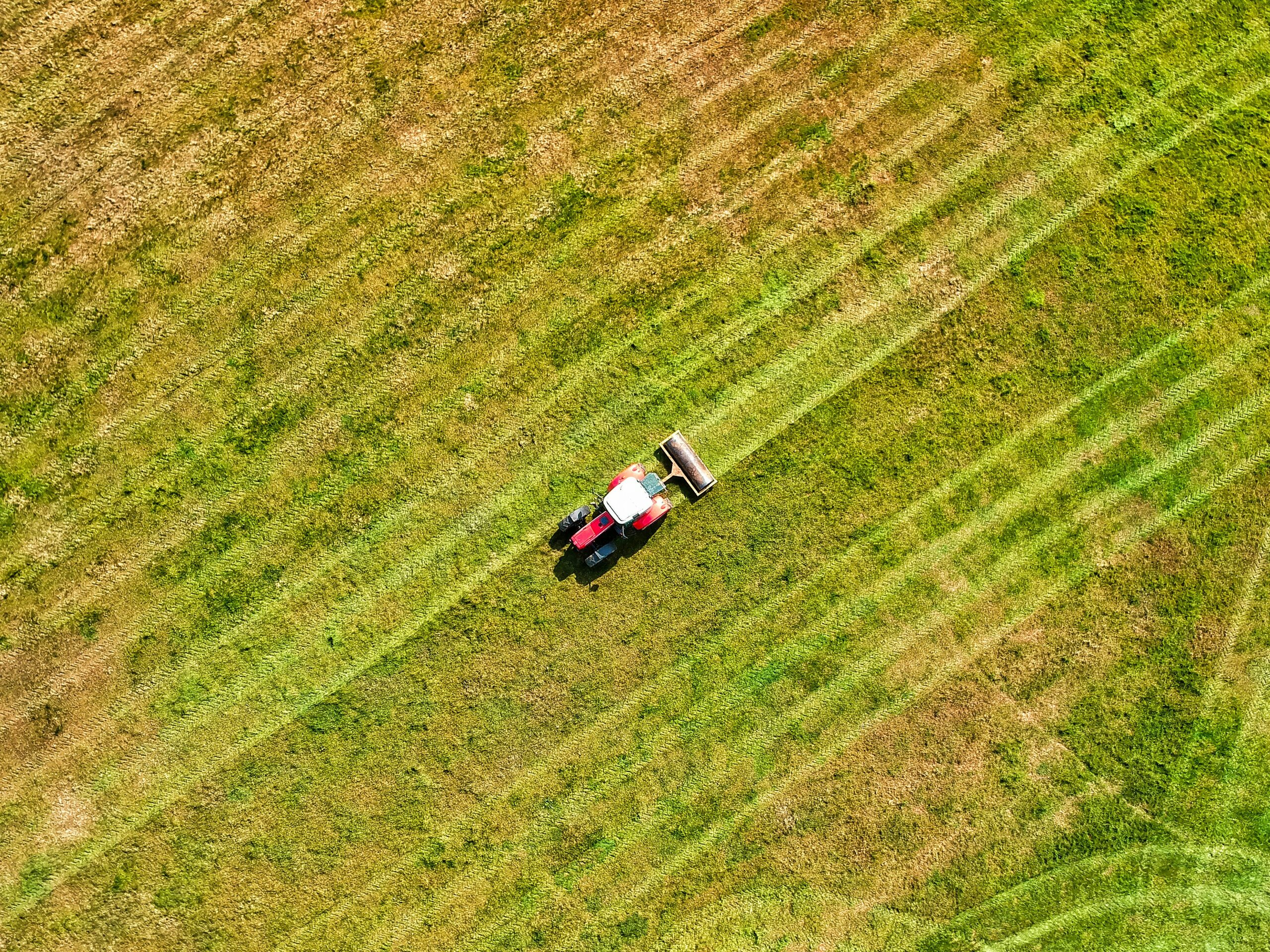
Las principales empresas de pulverizadores agrícolas con drones que revolucionarán la agricultura en 2024
Los drones agrícolas equipados con pulverizadores están transformando la industria agrícola al permitir la aplicación precisa de fertilizantes, pesticidas y
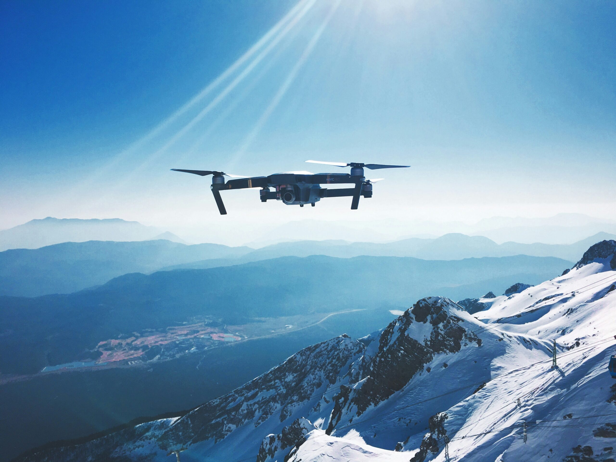
Principales empresas de fabricación de drones que darán forma al futuro en 2024
La tecnología de drones ha experimentado avances notables en los últimos años y diversas industrias se han beneficiado de estas versátiles soluciones aéreas.

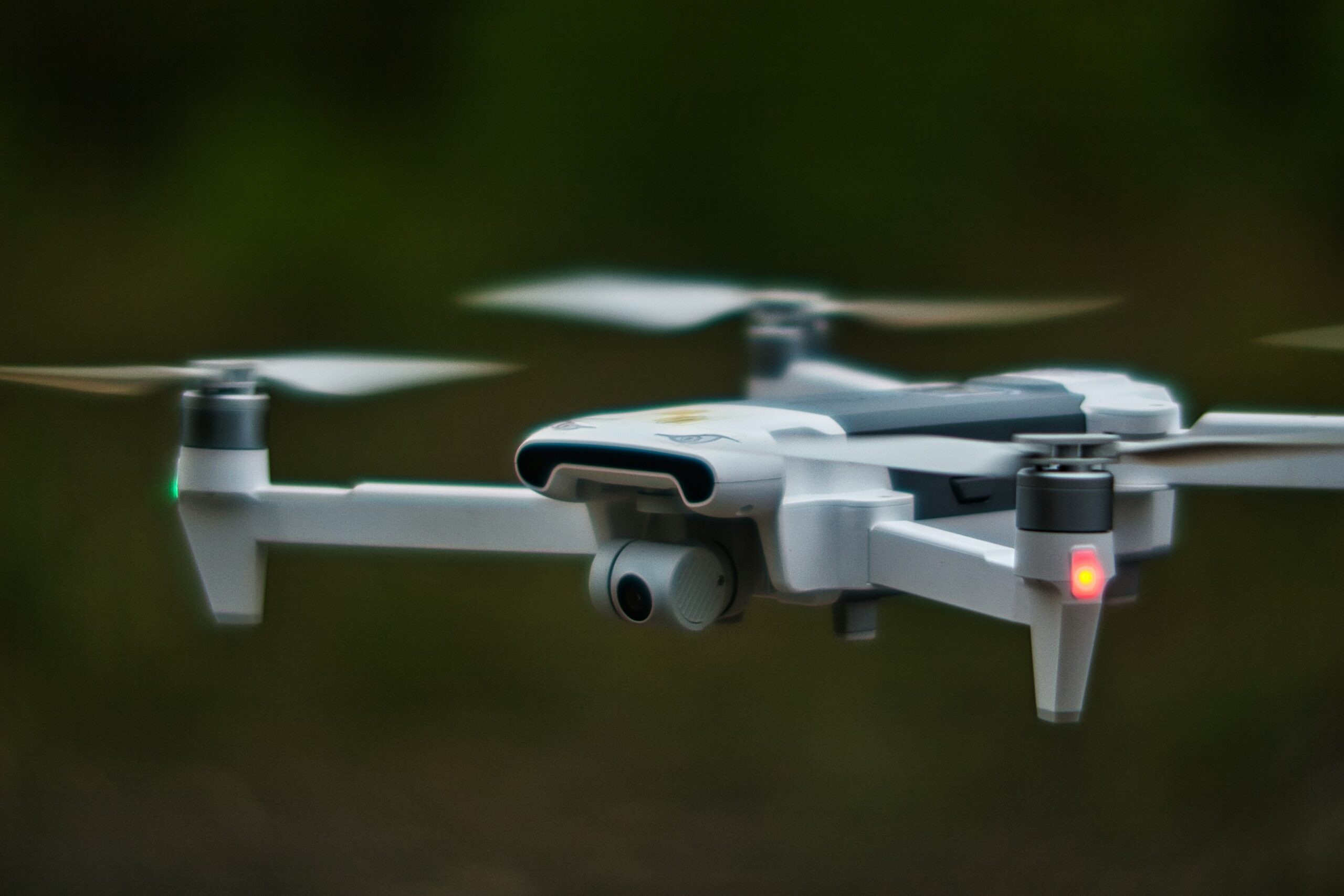
Las mejores empresas de drones que liderarán la innovación en 2024
Los drones han transformado industrias desde la agricultura hasta la producción cinematográfica, ofreciendo nuevas posibilidades en la tecnología aérea. A medida que aumenta la demanda de drones
Las principales empresas de reparto con drones están revolucionando la logística
La entrega mediante drones está transformando rápidamente la industria de la logística, brindando soluciones más rápidas y eficientes para el transporte de mercancías.

Comprensión del software de visualización geoespacial y las herramientas de inteligencia artificial
El software de visualización geoespacial y las herramientas de inteligencia artificial nos ayudan a interpretar los datos que tienen un componente de ubicación.
Cómo la inteligencia artificial y las herramientas de software están cambiando el seguimiento del impacto ambiental
En el mundo actual, las empresas y organizaciones se centran cada vez más en reducir su huella ambiental. Para lograrlo,
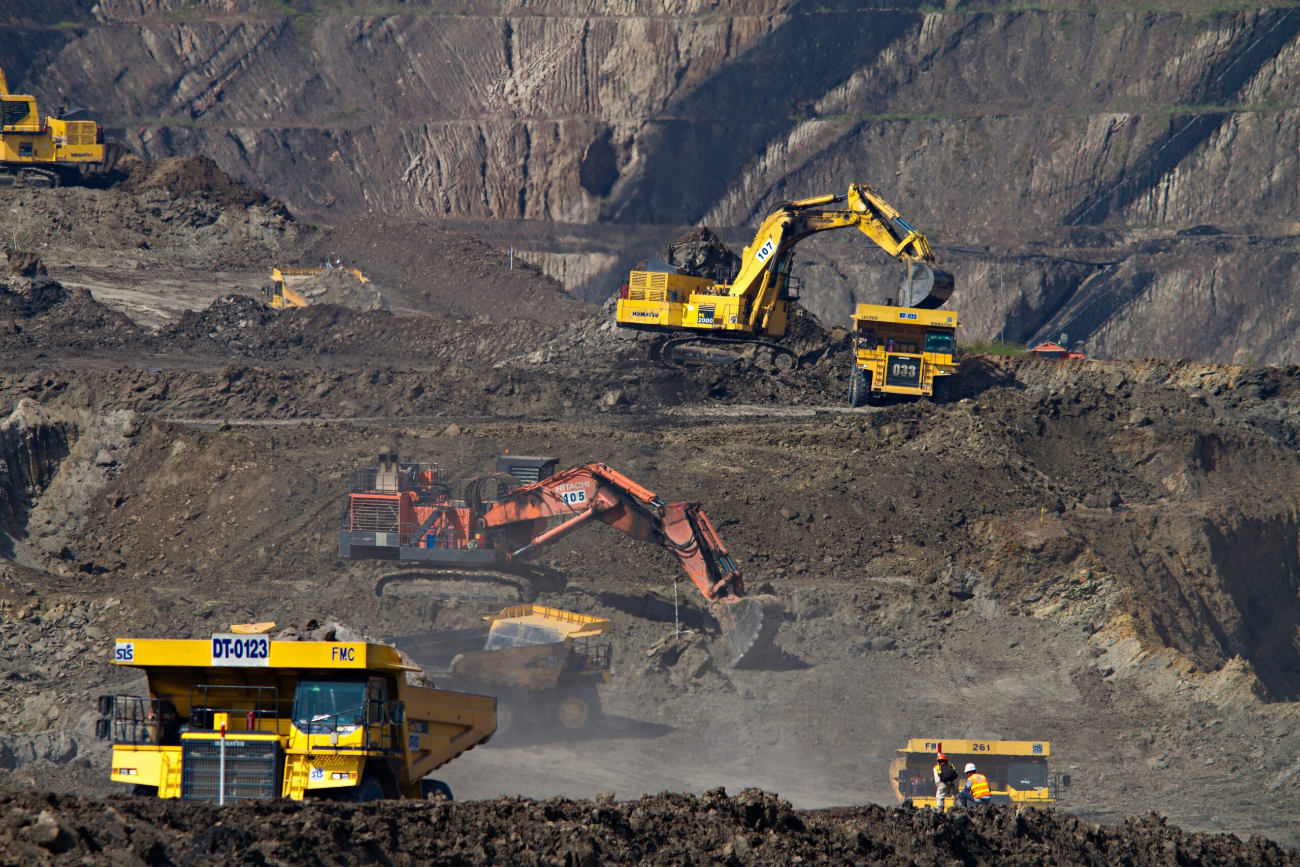
Software de monitoreo de minería: herramientas e inteligencia artificial que cambian las reglas del juego
Hoy en día, la minería no se trata solo de extraer rocas, sino de utilizar tecnología inteligente para que las operaciones sean más fluidas, seguras y...
El mejor software de inspección minera y herramientas de inteligencia artificial para obtener mejores resultados
Las inspecciones mineras son cruciales, pero no tienen por qué ser complicadas. Hoy en día, existen potentes herramientas de software y