
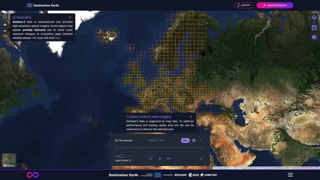
February 12, 2026: FlyPix AI and GeoVille successfully integrated FlyPix AI’s GeoAI capabilities into DestinEStreamer.
The integration enables users to access ready-to-run GeoAI models and apply them directly to Sentinel-2 data within DestinEStreamer. It combines Earth observation data access and visualization with AI-powered analysis in a more connected workflow.
This interoperability allows users to move more efficiently from raw satellite imagery to actionable intelligence while reusing AI models across services in the Destination Earth ecosystem.
Related links
About FlyPix AI
FlyPix AI provides a no-code geospatial AI platform that helps organizations transform satellite, aerial, and drone imagery into actionable insights through object detection, segmentation, localization, and change analysis.