
In a recent interview with Commercial UAV, a global conference and exhibition that serves as a melting pot for innovation and collaboration within the commercial UAV market, Dr. Sergey Sukhanov, the CEO and co-founder of FlyPix AI, shared valuable insights into the challenges faced by the UAV industry, the evolving role of artificial intelligence, and how FlyPix AI is playing a pivotal role in turning drone data into actionable intelligence.
The rapid advancements in sensor resolution, image storage capacity, and battery life have revolutionized the way data is collected during UAV flights. However, these improvements have also given rise to a new predicament: the collection of vast amounts of data in each flight, far beyond our capacity to efficiently analyze and comprehend. This data deluge poses a significant bottleneck, hindering the realization of the full potential of UAV technology. But this is precisely where platforms like FlyPix AI come to the rescue.
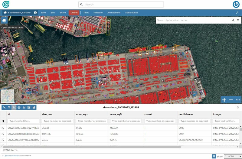
During the interview Dr. Sukhanov emphasized how FlyPix AI’s advanced algorithms can analyze georeferenced data, allowing the platform to detect and classify items according to the unique specifications of its customers. What sets FlyPix AI apart is its versatility; it can seamlessly work with georeferenced images from various sources. Whether they are captured by satellites, drones, or even cranes, FlyPix AI efficiently analyzes georeferenced data, empowering businesses to make data-driven decisions.
Read the full interview here.


