
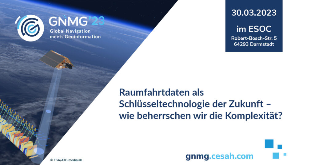
FlyPix AI recently participated in the “Global Navigation Meets Geoinformation 2023” event.
This event, organized by cesah GmbH and ESA BIC Hessen, brought together industry leaders, innovators, and enthusiasts in the field of geospatial analytics. Held at the European Space Operations Center (ESOC) in Darmstadt on March 30, the event served as a remarkable platform for connecting and exchanging ideas.
At FlyPix AI, our mission is to democratize access to geospatial analytics. We believe that everyone should have the opportunity to harness the power of aerial imagery and geospatial data, regardless of their size or resources.
Participating in “Global Navigation Meets Geoinformation 2023” allowed us to showcase our platform’s capabilities and connect with industry leaders and experts. The feedback and interest we received were truly amazing, and it reinforced our commitment to driving innovation in geospatial analytics.
As we move forward, FlyPix AI remains dedicated to advancing the field of geospatial analytics, creating new possibilities, and fostering collaboration within the industry. We look forward to further exploring partnerships and enhancing our platform to meet the diverse needs of our valued users.


