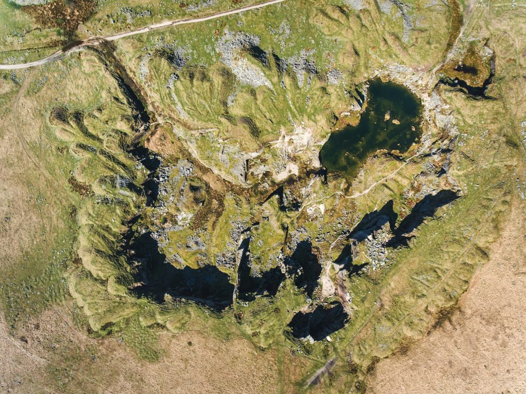
What is Prospecting? Definition, Process, and Applications
You’ve probably heard the term “prospecting” tossed around, but do you really know what it means? It’s a term that’s used in a lot of different industries, and it’s pretty crucial in a variety of fields, whether you’re in mining or business development. So, let’s break it down together-what exactly is prospecting, and why does […]
Location Intelligence: How Geospatial Data is Changing the Way Businesses Make Decisions
These days, businesses are always on the lookout for ways to stay ahead of the competition. One tool that’s often overlooked but incredibly powerful is location intelligence (LI). Simply put, it’s the use of geospatial data-information tied to locations on the map-to help businesses make smarter decisions, optimize their operations, and gain a competitive edge. […]
Top Location Intelligence Use Cases: How Geospatial Data Enhances Decision-Making

Location intelligence is rapidly becoming an indispensable tool for businesses looking to gain an edge in their industries. By integrating geographic and spatial data into decision-making processes, companies can uncover new opportunities, optimize operations, and enhance customer satisfaction. It’s not just about knowing “where” things happen – it’s about using that knowledge to improve outcomes […]
Location Intelligence Examples That Actually Make an Impact
In a world where everything has a location tag, it’s no surprise that some of the smartest business decisions start with a map. But not just any map, one layered with insight, movement, and meaning. That’s location intelligence in a nutshell: the art of turning spatial data into smarter decisions. What used to be a […]
Location Intelligence for Marketing: Using Real-World Data to Make Smarter Moves
Location intelligence isn’t just for maps or logistics anymore – it’s changing how brands run their campaigns. By using geospatial data, marketers can pinpoint where their audiences are, what they do, and when they’re most likely to engage. It’s not about guessing or following trends. It’s about using real movement data to shape everything from […]
What Is Location Intelligence and Why Should You Care?

You’ve probably heard the term location intelligence thrown around in tech briefings, real estate meetings, or maybe even in a supply chain discussion. It sounds complex, but the idea is surprisingly down to earth: it’s about making smarter decisions by understanding where things happen and why. Whether you’re tracking foot traffic near a potential store […]
Best Companies Specializing on Geospatial Data Analytics on AWS: Transforming Location-Based Insights
Amazon Web Services (AWS) is a leading cloud computing platform, offering a wide range of services like computing power, storage, databases, and analytics. It’s a scalable, pay-as-you-go solution that enables businesses to access virtual servers, manage big data, and deploy applications without significant upfront investments. From startups to enterprises, AWS powers millions of users globally […]
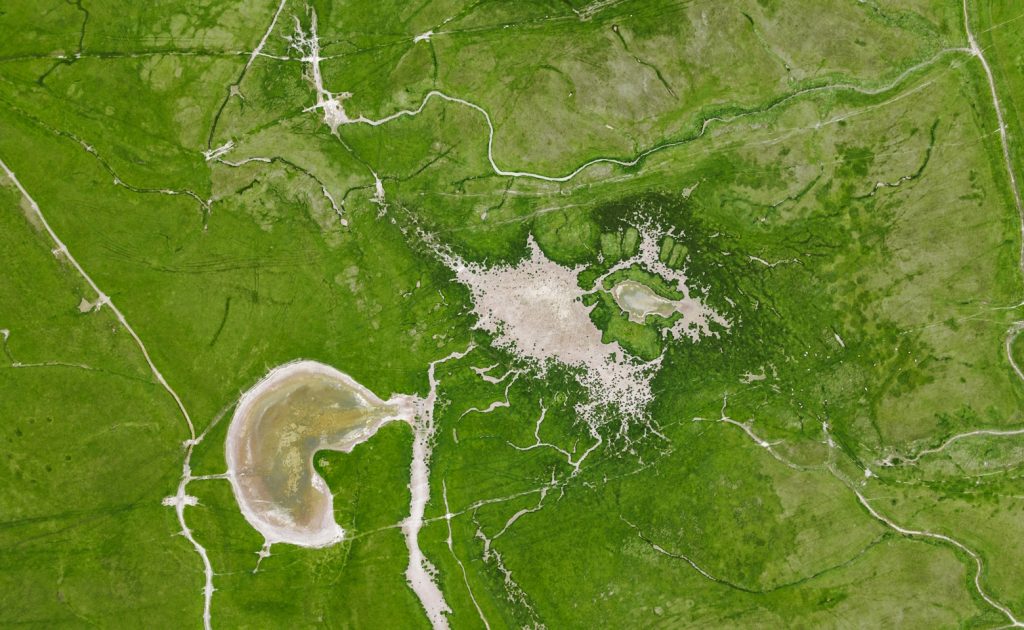
Top Companies Revolutionizing Geospatial Map Data Solutions
Geospatial map data solutions are reshaping how industries tap into location-based insights, and the companies behind them are pushing the boundaries of what’s possible. From urban planning to environmental monitoring, these innovators use satellite imagery, AI, and advanced analytics to turn raw data into actionable maps. I’ve always been amazed at how a good map […]
Geospatial Data as a Service: Empowering Companies with Spatial Insights
Geospatial data as a service (DaaS) is revolutionizing how companies harness location-based information to drive smarter decisions. Leading providers in this space deliver real-time, actionable spatial insights to industries like urban planning, logistics, agriculture, and environmental management, eliminating the need for businesses to manage complex datasets themselves. By offering subscription-based access to advanced geospatial analytics-such […]
Geospatial Data Platforms: Powering Insights from Spatial Data

Geospatial data platforms are changing how we make sense of the world around us. They take raw spatial data-like maps, satellite images, or location-based information-and turn it into something useful, whether you’re planning a city or tracking environmental changes. These platforms blend advanced tech with user-friendly tools, so anyone from urban planners to researchers can […]