Top 15 AI Image Recognition Companies Revolutionizing Visual Intelligence in 2025

This article highlights the top 15 AI image recognition companies driving innovation in 2025. Leveraging advanced machine learning, deep learning, and computer vision, these organizations are revolutionizing sectors like retail, healthcare, security, and more. From enhancing customer experiences to improving diagnostic accuracy, these pioneers set new standards in visual intelligence, delivering scalable, secure, and impactful […]
Top Precision Agriculture Companies Driving Global Food Security in 2026
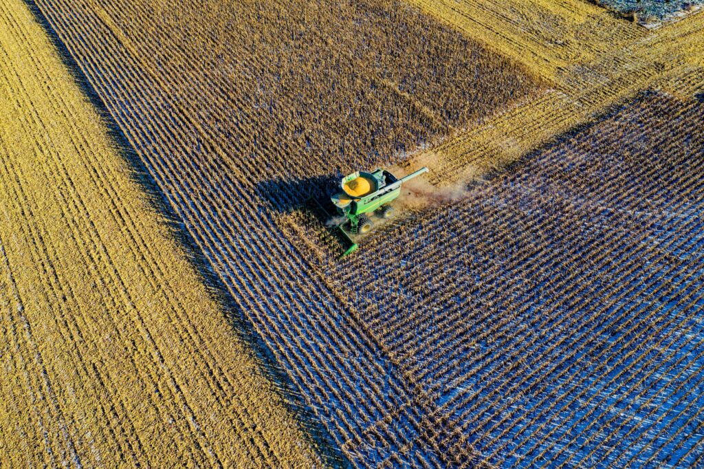
This article highlights top precision agriculture companies transforming the industry in 2026. Leveraging advanced technologies such as AI, drones, IoT, and data analytics, these innovators optimize farming practices, boost crop yields, and promote sustainable agriculture. From real-time crop monitoring to precision irrigation, these companies address global food security challenges while empowering farmers worldwide. The information […]
Top 15 Forest Management Companies Driving Global Sustainability in 2025
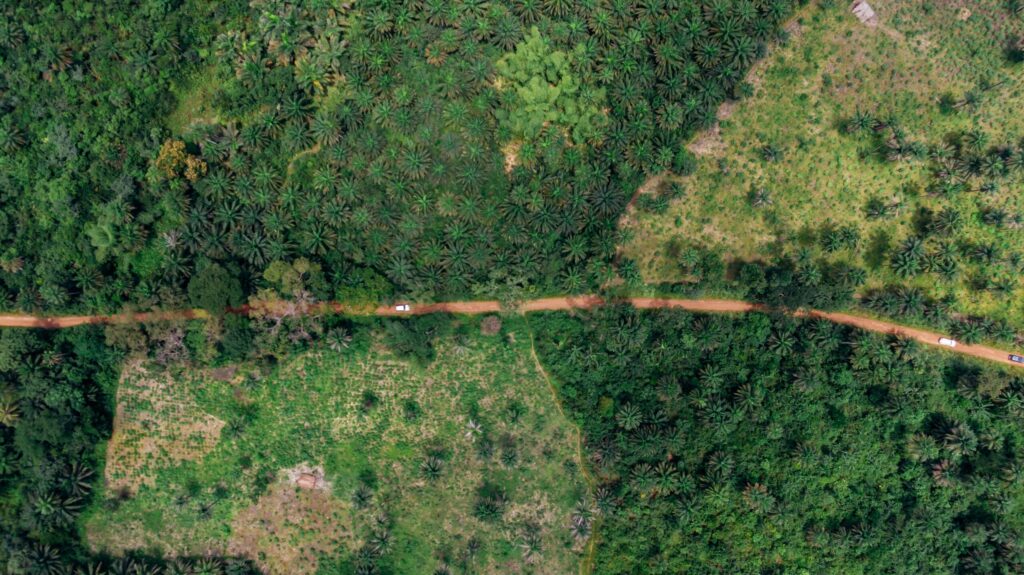
This article highlights the top 15 forest management companies revolutionizing the industry in 2025. Each organization featured here is not only advancing environmental goals but also promoting economic resilience and community engagement. Whether through AI-driven forest analytics or empowering local farmers, these pioneers are ensuring forests remain vibrant, productive, and protected for generations to come. […]
Top 15 Line Feature Companies Driving Geospatial Innovation in 2025
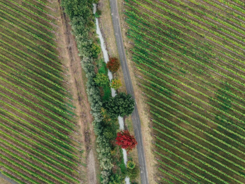
This article highlights 15 pioneering companies transforming geospatial analysis through innovative line feature capabilities in 2025. These organizations specialize in detecting and mapping linear elements such as roads, pipelines, and boundaries, enabling precise planning, monitoring, and management across sectors like infrastructure, agriculture, and environmental conservation. From AI-driven analytics to LiDAR-based precision, these companies are setting […]
Top 12 GeoAI Conferences in 2025

GeoAI (Geospatial Artificial Intelligence) is transforming industries by integrating AI with geospatial data for applications in urban planning, environmental management, and more. Attending GeoAI conferences in the second half of 2025 provides opportunities to explore cutting-edge tools, collaborate with experts, and stay ahead in this field. Below is a curated list of 12 conferences from […]
Top GeoAI Books: Pioneering Geospatial Intelligence

Geospatial Artificial Intelligence (GeoAI) integrates AI with spatial data to revolutionize fields like urban planning, environmental monitoring, and disaster management. The books below are selected for their direct relevance to GeoAI, focusing on machine learning, deep learning, spatial analytics, and real-world applications. Authored by leading experts, these works provide essential knowledge for students, researchers, and […]
Best Drone Data Processing Companies for Actionable Insights
Drones are changing the way industries collect and analyze data. But collecting aerial imagery is only the first step – turning that raw footage into clear, usable insights is where drone data processing companies come in. These providers specialize in transforming drone-captured data into detailed maps, 3D models, measurements, and analytics. From agriculture to construction, […]
Top 15 Line Feature Extraction Tools Revolutionizing Object Tracking

Line feature extraction tools are pivotal in object tracking, enabling the detection and analysis of linear elements like roads, pipelines, or spill boundaries within complex datasets. These 15 tools, developed by top companies, integrate cutting-edge AI, radar, and geospatial technologies to monitor object movements and patterns with precision, revolutionizing industries such as logistics, infrastructure, and […]
Top Automatic Point Feature Extraction Tools

Automatic point feature extraction tools detect discrete points-like objects, landmarks, or specific features-within datasets such as imagery, 3D scans, or spatial data, automating analysis for applications in urban planning, asset management, and beyond. These tools, integrated into top software platforms, harness AI, photogrammetry, and advanced processing to deliver precise, efficient point detection. Below, each product’s […]
Top Line Feature Tools in Remote Sensing

Line feature tools within remote sensing software detect and analyze linear elements like roads, pipelines, and boundaries, transforming aerial imagery into actionable insights for industries such as infrastructure, agriculture, and surveying. These tools, embedded in top platforms, leverage AI, photogrammetry, and LiDAR to deliver precision and efficiency. Below, each product’s line feature tools are explored, […]