How Much Does Starlink Really Cost?
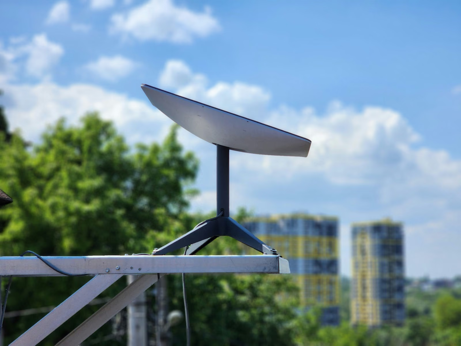
Starlink isn’t your average internet provider, and its pricing model reflects that. Unlike traditional cable or DSL services, Starlink…
Read More »: How Much Does Starlink Really Cost?
Starlink isn’t your average internet provider, and its pricing model reflects that. Unlike traditional cable or DSL services, Starlink…
Read More »: How Much Does Starlink Really Cost?LiDAR isn't just for satellites and self-driving cars anymore. These days, you can carry one in your hand and scan everything from forests…
Read More »: Handheld LiDAR Scanners and How People Actually Use ThemLiDAR isn’t just another fancy tech acronym tossed around in engineering circles. It’s actually one of those behind-the-scenes tools quietly…
Read More »: What Is LiDAR Used For? Real-World Examples That Might Surprise YouLiDAR might sound like something high-tech or complicated, but the idea behind it is actually pretty simple. It’s a way to measure distance…
Read More »: LiDAR Definition: Understanding the Laser-Based Tech Behind Modern MappingLiDAR mapping has quietly become one of the most important tools in modern geospatial work. It shows up in everything from flood modeling…
Read More »: LiDAR Mapping: What It Is and Why It MattersSustainability reporting used to feel like a once-a-year scramble. Spreadsheets everywhere, data pulled from half a dozen teams, and a lot…
Read More »: Sustainable Development Reporting Tools That Make ESG Reporting PracticalIf you work with environmental data long enough, one thing becomes obvious pretty quickly - habitats are never as simple as they look on a…
Read More »: Top 15 Habitat Suitability Modeling Tools (2026)LiDAR and Radar often get mentioned together, especially in conversations about mapping, drones, autonomous systems, or environmental…
Read More »: LiDAR vs Radar: What’s the Real Difference?There’s a big difference between seeing the Earth and actually understanding it. That’s where space-based LiDAR comes in. Unlike traditional…
Read More »: How LiDAR from Orbit Is Powering Earth Observation at Infrastructure ScaleMost people think of Earth Observation satellites in terms of what they see - clouds, forests, crops, cities. But behind every image is a…
Read More »: Thermal Bottlenecks: The Quiet Force Shaping EO MissionsWe value your privacy
We use cookies to enhance your browsing experience, serve personalized ads or content, and analyze our traffic. By clicking "Accept All", you consent to our use of cookies. Privacy Policy