Top 15 Point Feature Tools Shaping Modern Industries
Point feature tools enable industries to locate, analyze, and utilize discrete spatial elements-such as buildings, vehicles, or environmental

Top 15 Line Feature Extraction Companies Revolutionizing Industries
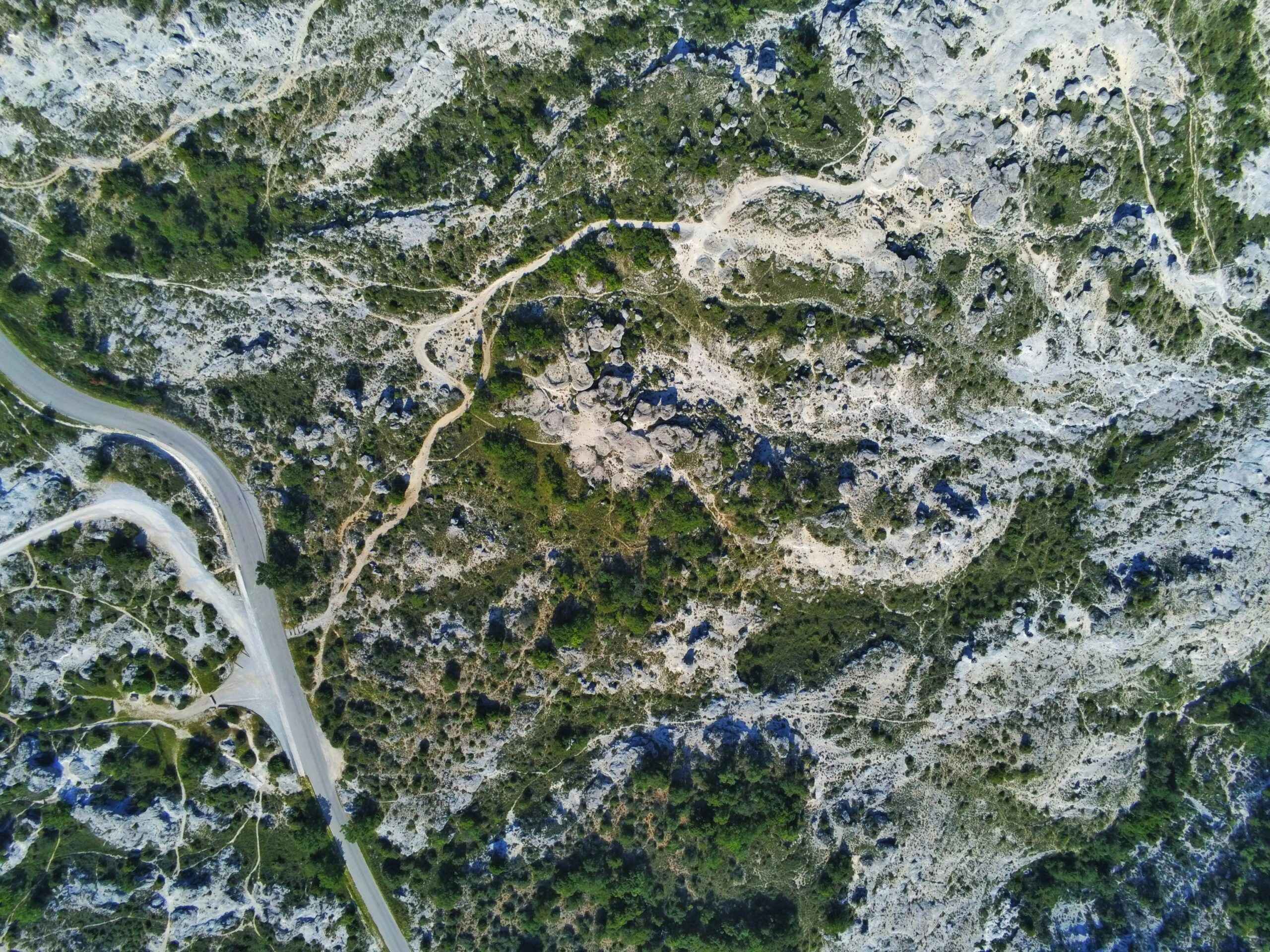
Line feature extraction technology identifies linear elements-roads, pipelines, power lines, or boundaries-within complex datasets, enabling accurate mapping and

Top Automatic Point Feature Extraction Companies Revolutionizing Industries
Automatic point feature extraction technology is reshaping industries by identifying discrete points-such as structures, assets, or environmental markers-within

Point Feature Companies: Innovators Shaping the Future
In today’s fast-paced world, point feature companies are making a huge impact across various industries. These businesses specialize

Best Land Survey Companies Offering Accurate Mapping Solutions
Land surveying plays a critical role in construction, real estate, and infrastructure development. As technology advances, top land
Leading Geospatial Intelligence Companies Transforming Global Insight
Geospatial intelligence companies are revolutionizing how governments, organizations, and industries gather and interpret spatial data. By combining satellite

Leading Satellite Image Processing Companies Delivering Precision
Satellite image processing is essential for turning raw space-based imagery into actionable data. From monitoring crops to tracking

Top Object Tracking Companies Revolutionizing Industries
Object tracking technology is at the heart of modern innovation, enabling industries to monitor, analyze, and optimize operations

Top Drone Data Analytics AI Companies
The fusion of drone technology and artificial intelligence (AI) has elevated aerial data analytics, turning raw imagery into