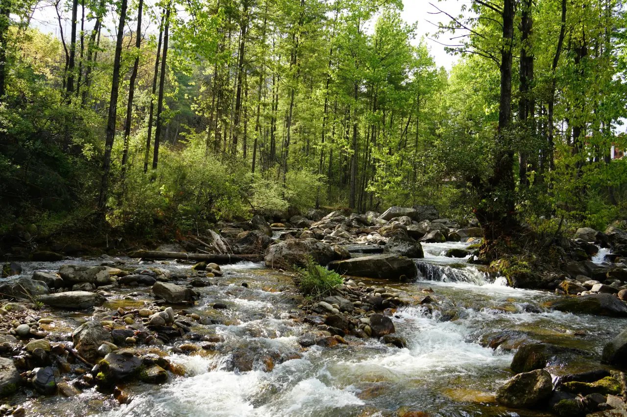
Best Catchment Analysis Tools for Hydrology and Watershed Work
Catchment analysis has become a core part of understanding how water actually behaves across a landscape. Instead of

Geospatial Data Visualization: Software, Tools, and AI Solutions
Geospatial data visualization is all about transforming raw geographic data into interactive maps and visual representations. These tools

Best Object Detection Software & AI Tools
Object detection has become an essential part of many industries, from security to retail and beyond. If you’re

Top Land Cover Classification Tools for Mapping
Land cover classification is essential for environmental monitoring, urban planning, and agriculture. With advanced tools and AI-powered solutions,

Innovative Tools for Effective Crop Disease Detection
In modern agriculture, the timely identification and management of crop diseases are crucial for maintaining healthy yields and

Top Land Development Planning Tools You Need to Know About
When it comes to land development, having the right planning tools can make a world of difference. These
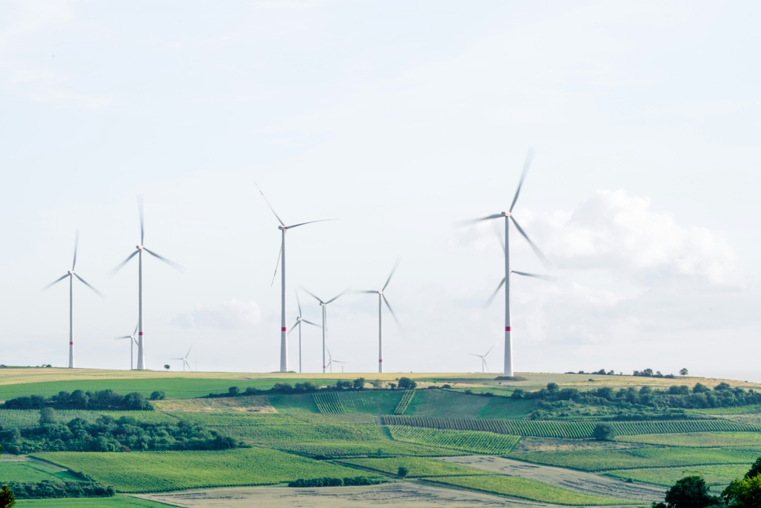
Top Environmental Monitoring Software and AI Tools
Environmental monitoring is crucial for understanding and protecting our natural world. From tracking air quality to managing water

Essential Land Use Planning Tools for Smart Urban Development
Land use planning is crucial for sustainable urban development, ensuring that cities grow in a way that balances

The Future of Urban Planning: Software, Tools, and AI
Urban planning is becoming more tech-driven than ever before. With the rise of specialized software and AI tools,