

Top 14 Skydio Enterprise Alternatives (2026)
Skydio Enterprise is a leading provider of autonomous drone technology for industrial inspections, mapping, and security. Known for
13 Best Hexagon Geospatial Alternatives (2026)
Hexagon Geospatial is a widely recognized provider of tools for mapping, geospatial analysis, and 3D modeling. However, several

14 Best Carlson Software Alternatives (2026)
Carlson Software is renowned for its robust CAD tools and civil engineering solutions, supporting professionals in surveying, hydrology,

Top 11 SkyGrid Alternatives (2026)
SkyGrid is recognized for its innovative approach to managing drone operations and aerial data. Skygrid offers a solution

15 Best SkyCatch Alternatives (2026)
SkyCatch is a popular platform for drone mapping, offering robust solutions for 3D modeling and data management. Despite

11 Best AirData UAV Alternatives (2026)
AirData UAV is a widely recognized platform offering tools for drone fleet management, compliance, and data analytics. However,
Top 11 FlytBase Alternatives (2026)
FlytBase is a renowned provider of drone fleet management and autonomy platforms. However, the drone industry features several

Global Satellite Tracking: Revolutionizing Fleet Management, Aviation, and Beyond
Satellite tracking has become an indispensable tool in modern business operations, with applications ranging from fleet management to
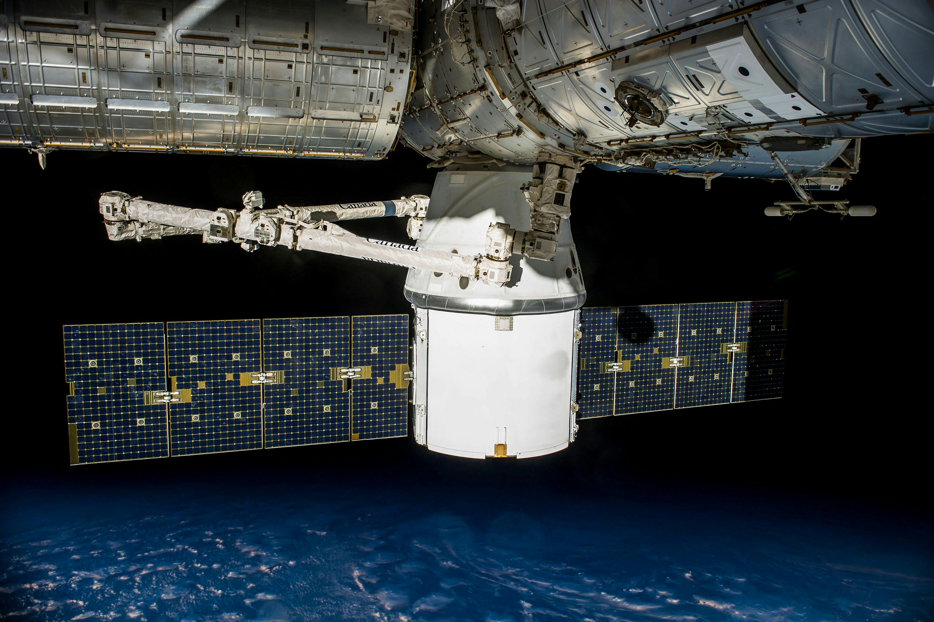
Real-Time Satellite Data: Current Capabilities, Limitations, and Revolutionizing Earth Monitoring
In recent years, the demand for real-time satellite data has surged across various industries, including agriculture, urban planning,