20 Best Computer Vision Companies for Autonomous Vehicles (2026)

Published: 17 Aug 2026
Découvrez l'avenir de l'analyse géospatiale avec FlyPix !

Faites-nous savoir quel défi vous devez résoudre - nous allons aider!

Computer vision is a big part of what makes autonomous driving possible. A vehicle can have cameras and sensors collecting information every second, but collecting it is only the beginning. The software still has to figure out what is actually happening on the road – where the pedestrians are, which lane the vehicle is in, whether a traffic light has changed, and what nearby cars are likely to do next.

The companies on this list tackle those problems in quite different ways. Some develop complete autonomous driving systems. Others work on a narrower piece of the puzzle, such as perception, object tracking, 3D vision, sensor fusion, mapping, simulation, or AI model development. Looking at them together gives a fairly good picture of where autonomous vehicle computer vision stands in 2026.

1. FlyPix AI

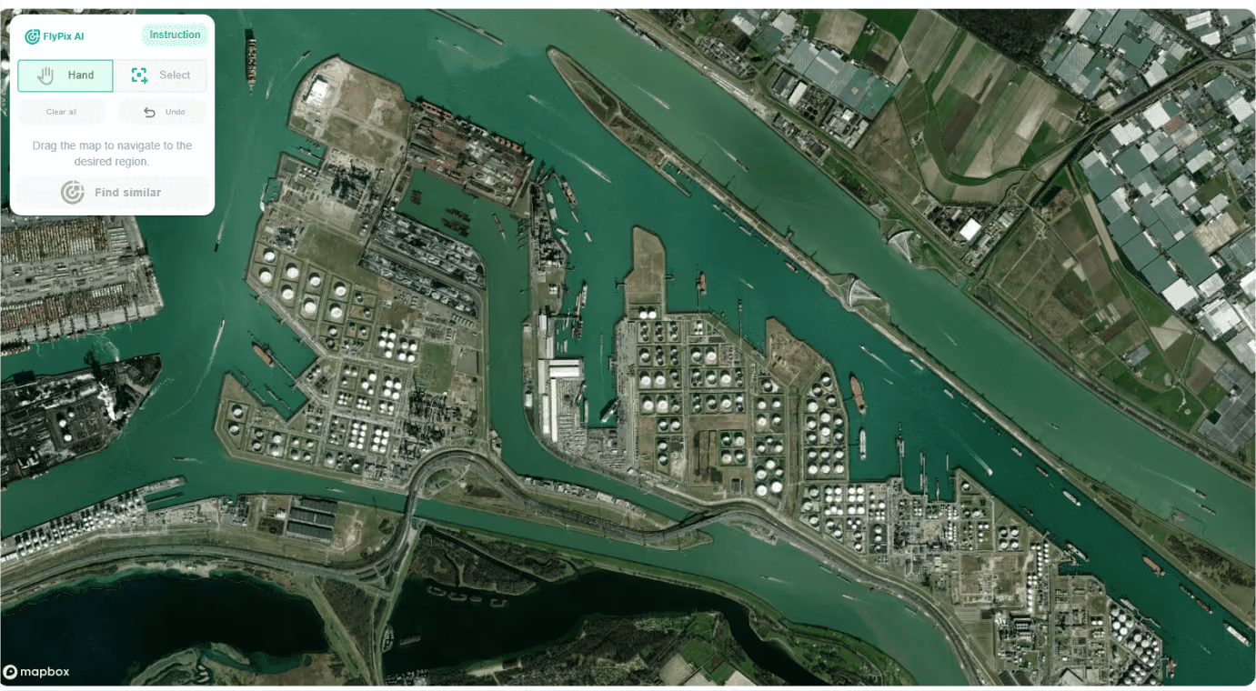
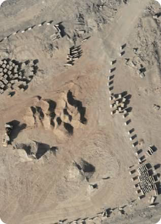
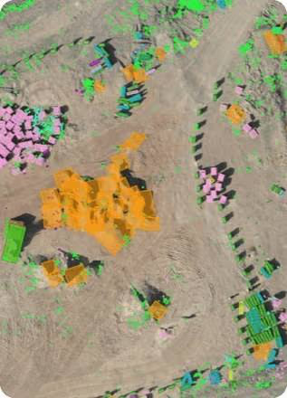
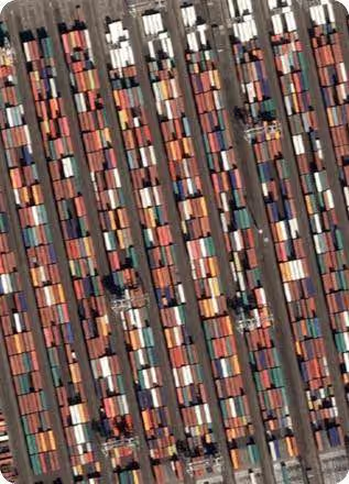
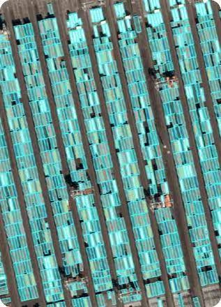
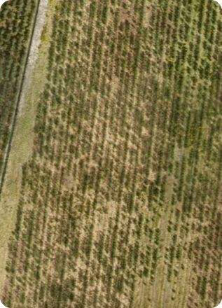
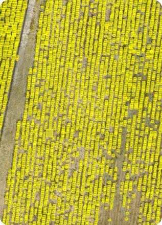
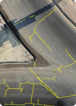
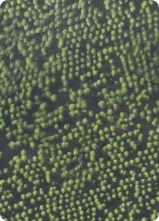
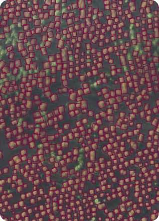
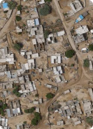
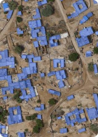
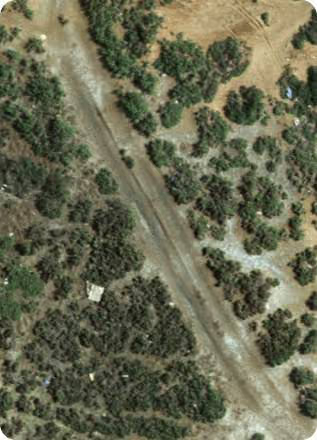
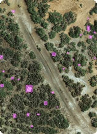
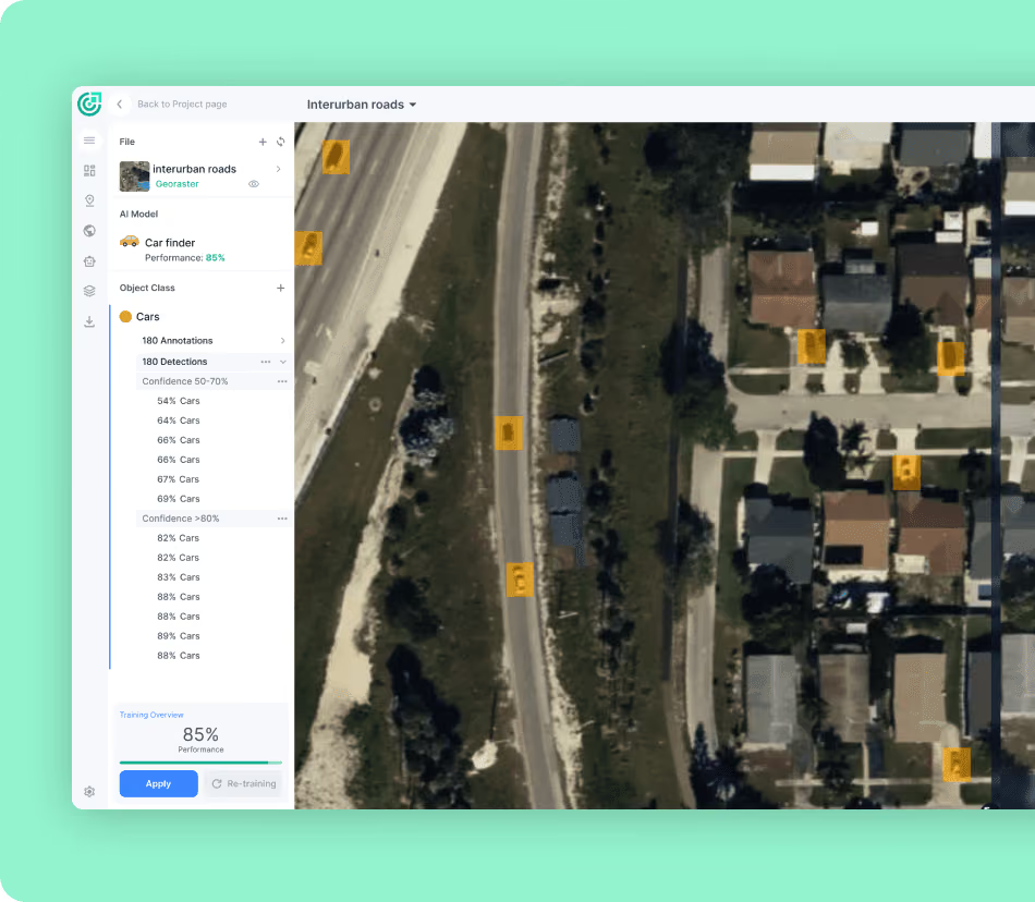
At FlyPix AI, we focus on computer vision and GeoAI for satellite, aerial, and drone imagery. Our platform is used to detect, segment, and classify objects visible from above, including vehicles, buildings, and other features. Users can also train their own models by marking examples in an image, which makes it possible to define new object classes without developing a model from scratch. Along with standard aerial imagery, the platform can work with LiDAR, hyperspectral imagery, SAR, and other geospatial sources.

Our connection to autonomous vehicles is mostly about the environment around them rather than the cameras mounted directly on a car. Aerial and satellite imagery can help identify roads, vehicles, structures, and larger movement patterns across an area. Repeated imagery can also reveal changes over time. That makes this type of computer vision useful for mapping, route preparation, infrastructure analysis, and other geospatial work that can sit alongside an autonomous driving system. When a project calls for something more specific, we can also build custom models around particular road features, vehicle classes, or operating environments.

Points saillants :

  • Computer vision for satellite, aerial, and drone imagery
  • Detection, segmentation, and classification
  • No-code custom model training
  • Recognition of vehicles, structures, and custom objects
  • Analysis of nadir and oblique imagery
  • Change monitoring using repeated surveys
  • Support for several types of geospatial imagery

Services:

  • Computer vision for autonomous vehicles
  • GeoAI platform
  • Aerial vehicle and object recognition
  • Analyse d'images satellite
  • Custom geospatial AI development
  • Formation de modèles personnalisés
  • Détection et segmentation d'objets
  • Image and region classification
  • Détection et surveillance des changements
  • Geospatial data sourcing

Coordonnées:

2. IA supérieure

AI Superior builds custom AI and computer vision software for analyzing images and video. Their projects can involve object detection, segmentation, image classification, movement recognition, and motion tracking. Instead of concentrating on a single ready-made vision product, they develop systems around individual project requirements and can take the work from early planning through development, integration, and ongoing maintenance.

In an autonomous vehicle project, that kind of work can be applied to camera-based perception. Software can be trained to recognize pedestrians, vehicles, obstacles, and other objects appearing around a vehicle, then track how those objects move from one frame to the next. Segmentation adds another layer by separating different areas or objects within the scene. AI Superior’s role in this field is therefore more about developing and integrating custom vision software than supplying a complete self-driving platform.

Points saillants :

  • Custom computer vision development
  • Image and video processing
  • Vehicle, pedestrian, and obstacle recognition
  • Image segmentation and classification
  • Motion tracking
  • Intégration avec les systèmes existants

Services:

  • Conseil en vision par ordinateur
  • Computer vision software development
  • Détection d'objets
  • Classification des images
  • Segmentation d'images
  • Analyse vidéo
  • Motion tracking
  • Intégration de la vision par ordinateur
  • Maintenance et support

Coordonnées:

3. aiMotive

aiMotive works across several parts of automated driving, so its technology goes beyond perception alone. Its portfolio includes aiDrive for driving automation, aiSim for virtual testing, aiWare for automotive AI processing, and aiData for managing information used during development. The company has been part of Stellantis since 2022, although it continues to operate as a separate entity.

Perception is still an important part of that setup. aiDrive uses a Multi-Sensor Model-Space Neural Network that brings information from different sensor types together while keeping track of how a scene changes over time. Camera and radar information, for example, can contribute to functions such as highway assistance, automated lane changes, parking, and navigation on secondary roads. The company’s simulation and data tools then provide ways to train and test those driving functions before they reach a production vehicle.

Points saillants :

  • Multi-sensor automated driving perception
  • Camera and radar processing
  • Neural network-based detection and tracking
  • Virtual sensor simulation
  • Driving data processing
  • Automotive AI inference
  • Technology for different automation levels

Services:

  • Automated driving perception
  • Highway assistance
  • Automated lane changing
  • Automated parking
  • Multi-sensor fusion
  • Virtual testing and validation
  • Driving data collection and processing
  • Automotive AI inference
  • Driving automation software

Coordonnées:

  • Website: www.aimotive.com
  • E-mail: [email protected]
  • Facebook: www.facebook.com/aiMotive
  • Twitter: x.com/ai_motive
  • LinkedIn: www.linkedin.com/company/aimotive
  • Address: Szépvölgyi út. 18-22. / 1025 Budapest Hungary
  • Phone: +36 (1) 7707 201

4. OpenCV.ai

OpenCV.ai comes from a computer vision background that is closely connected with OpenCV, the widely used computer vision library. Its automotive work includes practical ADAS functions such as pedestrian and vehicle detection, traffic light recognition, traffic sign recognition, and lane departure warning. These aren’t only experimental projects either – the company’s vision systems have been integrated into real vehicles.

Tracking is another useful part of its autonomous driving work. Detecting an object in a single image tells a vehicle something, but following that same object through a sequence of frames tells it much more. OpenCV.ai develops systems that can track multiple objects and estimate how they are moving. On a road, that can mean following a pedestrian approaching a crossing or keeping track of several nearby vehicles as their positions change.

Points saillants :

  • Automotive computer vision development
  • Traffic light recognition
  • Traffic sign detection
  • Pedestrian and vehicle detection
  • Lane departure warning
  • Multiple object tracking
  • Movement and trajectory prediction

Services:

  • ADAS development
  • Détection d'objets
  • Multiple object tracking
  • Traffic sign recognition
  • Traffic light recognition
  • Pedestrian detection
  • Vehicle detection and tracking
  • Lane departure warning
  • Analyse d'images et de vidéos

Coordonnées:

  • Website: www.opencv.ai
  • E-mail: [email protected] 
  • LinkedIn: www.linkedin.com/company/opencv-ai
  • Address: 1111B S Governors Ave STE 7211, Dover, DE 19904, USA

5. Oxa

Oxa takes a somewhat different route into autonomous driving. Much of its work is aimed at industrial environments, where autonomous vehicles might move goods around a factory, operate at an airport, work inside a port, or perform repetitive tasks across a controlled site. Its technology combines autonomous driving software with vehicle hardware, testing tools, and cloud systems for managing fleets.

One interesting part of its computer vision work is Sensor Expansion. Rather than waiting to collect every possible weather condition in the real world, existing driving images can be recreated with rain, fog, snow, or different lighting. The important objects in the original scene remain in place. Those variations give perception models more material to train on, especially for conditions that may not appear often in normal data collection. Oxa’s Foundry tools are also used to prepare and test Oxa Driver for individual sites.

Points saillants :

  • Autonomous driving for industrial vehicles
  • Perception training across different conditions
  • Synthetic versions of real driving imagery
  • Weather and lighting variations
  • Modular hardware for existing vehicles
  • Site-specific testing
  • Autonomous fleet management tools

Services:

  • Autonomous driving software
  • Perception model training
  • Sensor data expansion
  • Vehicle hardware integration
  • Virtual environment preparation
  • Gestion de flotte
  • Remote vehicle assistance
  • Workspace mapping
  • Création de jumeaux numériques
  • Autonomous system testing

Coordonnées:

  • Website: oxa.tech
  • E-mail: [email protected]
  • LinkedIn: www.linkedin.com/company/oxauniversalautonomy
  • Address: 8050 Alec Issigonis Way Oxford Business Park North Oxford, OX4 2FL, United Kingdom
  • Phone: +44 (0)1865 433 998

6. Ultralytics

Ultralytics is best known for its YOLO family of computer vision models. These models handle tasks such as object detection, segmentation, classification, and tracking, with an emphasis on processing images quickly enough for practical applications. That makes them relevant to autonomous driving, where camera feeds need to be analyzed continuously rather than as individual static images.

A YOLO model can serve as one part of a vehicle’s perception system. Detection can locate pedestrians, vehicles, signs, lights, and obstacles. Segmentation can separate roads, sidewalks, vegetation, and other areas of a scene, while tracking keeps tabs on objects as they move through consecutive frames. These vision outputs can also be combined with information from radar or LiDAR rather than being used on their own.

Points saillants :

  • YOLO computer vision models
  • Real-time object detection
  • Video object tracking
  • Segmentation sémantique
  • Recognition of road users and road features
  • Use within multi-sensor systems
  • Applications across different autonomous vehicle types

Services:

  • Détection d'objets
  • Suivi d'objets
  • Segmentation sémantique
  • Classification des images
  • Analyse vidéo
  • Autonomous vehicle perception
  • Camera-based road analysis
  • Développement de modèles de vision par ordinateur
  • Automotive vision AI tools

Coordonnées:

  • Site web : www.ultralytics.com
  • Address: United States, 5001 Judicial Way, Frederick, MD 21703, USA
  • E-mail: [email protected]
  • LinkedIn : www.linkedin.com/company/ultralytics
  • Twitter : x.com/ultralytics

7. MicroVision

MicroVision works on LiDAR sensors and perception software for automotive and industrial applications. Its background is in laser beam scanning, optics, and embedded sensing, but its technology portfolio has expanded over time. Technologies from Ibeo Automotive Systems, Scantinel, and Luminar have added further LiDAR and perception capabilities to that mix.

For autonomous vehicles and ADAS, LiDAR gives the perception system spatial information about the area surrounding the vehicle. That information can complement what cameras and other sensors see. Products such as MOVIA L combine solid-state LiDAR with perception software, so sensing and interpretation can be handled as connected parts of the system. Similar technology is also used in trucking, mining, logistics, and automated industrial environments.

Points saillants :

  • LiDAR for autonomous vehicles and ADAS
  • Combined perception hardware and software
  • Solid-state LiDAR
  • Long-range sensing
  • Automotive and industrial applications
  • Embedded sensing
  • Perception for different operating environments

Services:

  • LiDAR sensing systems
  • Automotive perception software
  • ADAS sensing
  • Autonomous vehicle perception
  • Solid-state LiDAR
  • Long-range sensing
  • Embedded sensing
  • Industrial vehicle perception
  • Trucking and logistics perception

Coordonnées:

  • Website: microvision.com
  • LinkedIn: www.linkedin.com/company/microvision
  • Facebook: www.facebook.com/MicrovisionInc

8. Nextbrain

Nextbrain develops computer vision software using AI, machine learning, and deep learning. Its projects are built around individual use cases rather than a single fixed vision platform. That can include the vision model itself as well as the applications, cameras, and connections needed to make it work with an existing system.

For self-driving vehicle projects, Nextbrain points to several core stages of computer vision development: gathering visual data, labeling it, detecting objects, and using semantic instance segmentation. Put together, these techniques help software distinguish one part of a road scene from another. The company is mainly involved on the development side, building or adapting computer vision models that can become part of a broader automotive system.

Points saillants :

  • Custom computer vision software
  • AI and deep learning for visual processing
  • Détection d'objets
  • Semantic instance segmentation
  • Vision model training
  • Camera integration
  • Autonomous vehicle vision applications

Services:

  • Computer vision development
  • développement de logiciels d'IA
  • Détection d'objets
  • Semantic instance segmentation
  • Dataset labeling
  • Traitement des données visuelles
  • Développement de modèles de vision par ordinateur
  • Camera and software integration

Coordonnées:

  • Site web: www.nextbraintech.com
  • E-mail: [email protected]
  • Facebook : www.facebook.com/nextbraintech
  • Twitter : x.com/nextbrainitech
  • LinkedIn: www.linkedin.com/company/nextbraintech
  • Instagram: www.instagram.com/nextbraintech
  • Address: 500 Hodges Ct, Franklin, TN 37067, United States
  • Phone: +1 210 666 9190

9. WeRide

WeRide develops autonomous driving systems covering Level 2 through Level 4 automation. Its technology appears across quite a few vehicle categories, including Robotaxi, Robobus, Robovan, Robosweeper, and ADAS applications. Instead of creating an entirely different technology stack for each one, the company uses its WeRide One platform as a common foundation.

On the road, perception is closely connected with prediction and planning. The system has to recognize pedestrians, bicycles, vehicles, and other parts of the environment, but it also needs to understand how those elements are interacting. Multi-sensor information supports localization and navigation, including in places where normal lane markings aren’t available. WeRide also uses end-to-end AI and simulation to train and test the system against more complicated or unusual situations.

Points saillants :

  • Level 2 to Level 4 autonomous driving
  • Shared technology stack for several vehicle types
  • Multi-sensor perception
  • End-to-end AI
  • HD mapping and map-less navigation
  • Real-time map construction
  • Driving scenario simulation

Services:

  • Autonomous driving systems
  • Robotaxi technology
  • Autonomous buses
  • Autonomous delivery vehicles
  • Autonomous sanitation vehicles
  • ADAS
  • Multi-sensor perception
  • Driving simulation
  • HD mapping
  • Map-less navigation
  • Fleet operations

Coordonnées:

  • Website: www.weride.ai
  • E-mail: [email protected]
  • Twitter: x.com/WeRide_ai
  • LinkedIn: www.linkedin.com/company/werideai
  • Phone: 400-102-3883

10. Intellias

Intellias approaches autonomous vehicles from the broader automotive software side. It develops software for automotive and mobility companies in areas such as software-defined vehicles, connected systems, navigation, and automated driving. Projects can stretch from low-level vehicle software and middleware all the way to cloud services and applications.

That means computer vision is usually one component of a larger system rather than the whole focus. Automated driving functions have to communicate with navigation, connectivity, location services, and other vehicle software, and Intellias works on those connections between different layers. Its role can be especially relevant when an automotive company already has perception or AI components but needs to integrate them into a working vehicle platform.

Points saillants :

  • Automotive software engineering
  • Automated driving development
  • AI-enabled vehicle software
  • Software-defined vehicle systems
  • Location-based technology
  • Navigation development
  • Integration across vehicle software layers

Services:

  • Automated driving software
  • Automotive AI development
  • Software-defined vehicle development
  • Vehicle software integration
  • Navigation systems
  • Location-based services
  • Middleware development
  • Vehicle connectivity
  • Automotive cloud operations

Coordonnées:

  • Site Web : intellias.com
  • Courriel : [email protected]
  • Facebook : www.facebook.com/Intellias.GlobalPage
  • LinkedIn : www.linkedin.com/company/intellias
  • Adresse : 500 West Madison Street 60661 Chicago, IL
  • Téléphone : +1 857 444 0442

11. Pony.ai

Pony.ai applies its autonomous driving technology to passenger transportation, freight, and personally owned vehicles. Robotaxis and autonomous trucks may have very different jobs, but the company’s systems draw from the same basic set of technologies: localization, perception, prediction, planning, control, onboard computing, and sensor hardware.

Its perception module combines deep learning with information coming from several sensors. Which inputs matter most can change depending on the road and environmental conditions. Once surrounding vehicles, pedestrians, and other road users have been identified, the prediction system estimates how they might move. Planning and control then use those estimates to decide how the vehicle should handle intersections, highways, and other situations where several things are happening at once.

Points saillants :

  • Multi-sensor autonomous driving perception
  • Deep learning for road scenes
  • Sensor fusion for localization
  • Road user movement prediction
  • Integrated planning and control
  • Hardware and software redundancy
  • Technology shared across vehicle platforms

Services:

  • Robotaxi technology
  • Autonomous trucking
  • Passenger vehicle autonomy
  • Computer vision and perception
  • Multi-sensor fusion
  • Localization
  • Road user prediction
  • Driving planning and control
  • Gestion de flotte
  • Remote assistance

Coordonnées:

  • Website: www.pony.ai
  • E-mail: [email protected]
  • Facebook: www.facebook.com/PonyAITech
  • Twitter: x.com/ponyai_tech
  • LinkedIn: www.linkedin.com/company/pony-ai

12. Waymo

Waymo’s autonomous driving system, the Waymo Driver, combines its own sensors, AI software, and detailed maps. Before vehicles begin operating in an area, those maps provide information about things such as lanes, curbs, crosswalks, signs, and traffic signals. While the vehicle is moving, live sensor information is compared with that map to work out its position and identify what’s changed around it.

The perception system then deals with the moving, less predictable part of the scene. It can identify pedestrians, cyclists, cars, road debris, construction areas, traffic lights, and temporary signs. Recognition isn’t the end of the process. The system also estimates how other road users may move and uses those predictions when choosing speed, steering, lane position, and trajectory. In Waymo’s case, sensors and perception software are developed as parts of the same autonomous driving system rather than separate products.

Points saillants :

  • Custom autonomous driving perception
  • AI-based road scene understanding
  • Detection of road users and road features
  • Detailed maps and localization
  • Road user behavior prediction
  • Custom vehicle sensors
  • Connected perception, prediction, and planning

Services:

  • Fully autonomous driving
  • Computer vision and perception
  • Détection et classification d'objets
  • Road user prediction
  • Vehicle localization
  • Detailed road mapping
  • Sensor-based environmental analysis
  • Trajectory planning
  • Autonomous navigation

Coordonnées:

  • Website: waymo.com
  • Facebook: www.facebook.com/Waymo
  • Twitter: x.com/waymo
  • LinkedIn: www.linkedin.com/company/waymo
  • Instagram: www.instagram.com/waymo

13. Nuro

Nuro develops the Nuro Driver and Universal Autonomy Platform for different vehicle and mobility applications. Depending on the setup, its technology can support automation from Level 2 up to Level 4. A fully autonomous configuration brings together cameras, radar, LiDAR, onboard AI, mapping, and vehicle control.

Its perception system combines several sensor types early in the processing pipeline. That’s useful because road conditions, weather, and visibility can affect each sensor differently. Real-time perception also contributes to mapping by identifying crosswalks, road signs, lane restrictions, and right-of-way information. From there, the system can use that understanding for practical driving tasks such as merging, changing lanes, responding to traffic controls, handling construction zones, exiting highways, and parking.

Points saillants :

  • Level 2 to Level 4 driving automation
  • Camera, radar, and LiDAR perception
  • Multi-sensor fusion
  • AI mapping and localization
  • Real-time road feature recognition
  • End-to-end driving AI
  • Adaptation to new sensors and operating areas

Services:

  • Autonomous driving systems
  • Computer vision and perception
  • Multi-sensor fusion
  • AI-based mapping
  • Localization
  • Urban autonomous driving
  • Highway automation
  • Automated lane changing
  • Autonomous parking
  • Teleoperations monitoring and control

Coordonnées:

  • Website: www.nuro.ai
  • Facebook: www.facebook.com/nurobots
  • Twitter: x.com/nuro
  • LinkedIn: www.linkedin.com/company/nuro-inc.

14. Mobileye

Computer vision has been part of Mobileye’s automotive work from the beginning. The company started with camera-based vehicle detection and gradually expanded into a much broader technology stack. Today that includes its EyeQ system-on-chip, perception, mapping, driving policy, sensor fusion, ADAS, and autonomous driving technology.

Cameras still play a central role. Mobileye’s systems use visual information to understand vehicles, lanes, road features, signs, and other parts of the driving environment. Depending on the application, that camera perception can work on its own or alongside radar and additional sensors. Its Road Experience Management technology also uses visual information collected by equipped vehicles to create and update maps. The same computer vision foundation appears across its driver assistance and more advanced hands-free driving systems.

Points saillants :

  • Camera-based automotive computer vision
  • AI perception for ADAS and autonomous driving
  • EyeQ processing platform
  • Camera-only driving perception
  • Camera and radar sensor fusion
  • Vision-based mapping
  • Technology spanning several automation levels

Services:

  • Technologie de conduite autonome
  • ADAS
  • Computer vision and perception
  • Surround-view perception
  • Multi-sensor fusion
  • Road mapping
  • Hands-free driving
  • Intelligent parking
  • Automotive AI processing

Coordonnées:

  • Website: www.mobileye.com
  • Facebook: www.facebook.com/Mobileye
  • Twitter: x.com/Mobileye
  • LinkedIn: www.linkedin.com/company/mobileye
  • Instagram: www.instagram.com/mobileye
  • Address: JERUSALEM Shlomo Momo Halevi 1, Har Hotzvim

15. Motional

Motional develops Level 4 autonomous vehicles for ride-hailing and delivery. Its work brings together robotics, machine learning, automotive hardware, and driving software, with the IONIQ 5 robotaxi serving as its main vehicle platform. That platform can also be adapted to autonomous delivery use cases.

A mix of cameras, radar, and LiDAR provides the perception system with a 360-degree view of the area around the vehicle. Sensor information is processed onboard, where the software has to recognize objects at different distances and keep track of what’s changing. Motional also puts a lot of emphasis on the training side. Driving data can be searched for unusual events and edge cases, annotated, and then fed back into model training and evaluation. Those rare situations matter because they’re often where autonomous systems face their hardest tests.

Points saillants :

  • Level 4 autonomous vehicle development
  • Camera, radar, and LiDAR perception
  • 360-degree sensing
  • Onboard sensor processing
  • Machine learning for autonomous driving
  • Edge case training
  • Ride-hailing and delivery applications

Services:

  • Level 4 autonomous driving
  • Robotaxi technology
  • Autonomous delivery
  • Computer vision and perception
  • Multi-sensor sensing
  • Vehicle data processing
  • Machine learning model training
  • Edge case analysis
  • Autonomous system integration

Coordonnées:

  • Website: motional.com
  • E-mail: [email protected]
  • Twitter: x.com/MotionalDrive
  • LinkedIn: www.linkedin.com/company/motional
  • Instagram: www.instagram.com/motionaldrive
  • Address: 100 Northern Ave Suite 200 Boston, MA 02210

16. Aurora

Aurora’s main focus is the Aurora Driver, a Level 4 autonomous driving system used largely for freight transportation. The system includes the driving software, sensors, onboard hardware, and supporting services needed to operate autonomous trucks on defined routes. Human drivers aren’t intended to handle the actual driving within those operating conditions, although a command center can provide supervisory support.

For perception, Aurora-equipped trucks use cameras, radar, and LiDAR to maintain a view around the vehicle. FirstLight LiDAR is particularly relevant on highways because it extends the range at which objects can be detected. Camera and radar information fill in other parts of the surrounding scene. Aurora also combines AI-based driving with defined road rules through its Verifiable AI approach, connecting perception and planning with basic driving requirements such as responding to signals and staying on the correct side of the road.

Points saillants :

  • Level 4 autonomous trucking
  • Camera, radar, and LiDAR perception
  • 360-degree environmental sensing
  • Long-range LiDAR
  • AI-based perception and planning
  • Defined road rules
  • Redundant onboard computing

Services:

  • Autonomous trucking
  • Computer vision and perception
  • Multi-sensor fusion
  • Long-range LiDAR
  • Autonomous driving software
  • Driving behavior planning
  • Autonomous vehicle hardware
  • Fleet supervision
  • Autonomous freight technology

Coordonnées:

  • Website: www.aurora.tech
  • E-mail: [email protected]
  • Facebook: www.facebook.com/AuroraTechDriver
  • Twitter: x.com/aurora_inno
  • LinkedIn: www.linkedin.com/company/auroradriver
  • Instagram: www.instagram.com/auroradriver
  • Phone: +1-888-583-9506

17. Zoox

Zoox didn’t start with a conventional passenger car and then add autonomous driving equipment to it. Its electric robotaxi was designed around autonomous ride-hailing from the beginning. The company’s work therefore covers not only the driving system but also the vehicle itself, along with charging, fleet operation, maintenance, and software updates.

Its perception system is built around several types of sensors. Cameras work alongside LiDAR, radar, long-wave infrared cameras, and microphones to give the vehicle a 360-degree picture of its surroundings. Cameras are useful for details such as traffic light colors and pedestrian gestures, while other sensors contribute depth, motion, thermal, and audio information. The system combines those signals to detect and track objects and estimate their position, direction, speed, and type, including when visibility isn’t ideal.

Points saillants :

  • Computer vision for autonomous robotaxis
  • 360-degree perception
  • Détection et suivi d'objets
  • Classification des objets
  • Camera, LiDAR, radar, thermal, and audio sensing
  • Position, speed, and direction estimation
  • Perception across changing weather and lighting

Services:

  • Autonomous ride-hailing
  • Autonomous vehicle perception
  • Computer vision
  • Détection et suivi d'objets
  • Multi-sensor perception
  • Traffic light recognition
  • Pedestrian and vehicle analysis
  • Thermal object detection
  • Autonomous fleet operation

Coordonnées:

  • Website: zoox.com
  • Twitter: x.com/zoox
  • LinkedIn: www.linkedin.com/company/zoox-inc
  • Instagram: www.instagram.com/zoox
  • E-mail: [email protected]

18. SenseTime

SenseTime’s automotive technology covers several stages between seeing a road scene and deciding what to do about it. Its computer vision and AI work includes camera perception, LiDAR processing, sensor fusion, behavior prediction, mapping, and vehicle control. Camera systems can identify lanes, road boundaries, drivable areas, vehicles, pedestrians, signs, and traffic lights rather than focusing on a single object category.

Once those objects have been recognized, the system can combine camera information with LiDAR and other sensor inputs. It can also estimate what surrounding vehicles, cyclists, and pedestrians might do next, such as changing lanes, turning, or crossing a road. Those predictions become useful when the vehicle starts planning a path. HD maps and localization add another layer by helping the system understand exactly where it is within the road environment.

Points saillants :

  • Camera-based road perception
  • LiDAR perception
  • Multi-sensor fusion
  • Road user detection and tracking
  • Behavior and trajectory prediction
  • Path planning and vehicle control
  • HD mapping and localization

Services:

  • Autonomous vehicle perception
  • Camera perception
  • LiDAR perception
  • Détection et suivi d'objets
  • Multi-sensor fusion
  • Road user behavior prediction
  • Path planning
  • Driving decision systems
  • HD map creation
  • Real-time localization

Coordonnées:

  • Site web : www.sensetime.com
  • Courriel : [email protected]
  • Facebook : www.facebook.com/sensetimegroup
  • Twitter: x.com/SenseTime_AI
  • LinkedIn : www.linkedin.com/company/sensetime-group-limited
  • Address: 2/F, Harbour View 1, №. 12 Science Park East Avenue, HKSTP, Shatin, Hong Kong
  • Phone: 400 900 5986

19. STRADVISION

STRADVISION concentrates specifically on camera-based perception for ADAS and autonomous driving. Its SVNet technology uses deep learning to process images from vehicle cameras and turn them into information that driving functions can use. The software is designed to run on automotive system-on-chip hardware, which makes embedded deployment inside production vehicles an important part of its work.

Different products cover different camera positions. FrontVision handles a forward-facing camera and can detect vehicles, pedestrians, lanes, traffic lights, and road signs. SurroundVision looks at the area around the vehicle, including parking spaces and curbs, while MultiVision combines feeds from front, rear, side, and fisheye cameras. Together, those systems can support anything from relatively basic assistance functions to more advanced automated driving.

Points saillants :

  • Deep learning-based automotive vision
  • Camera-based perception
  • Front and surround-view detection
  • Vehicle and pedestrian recognition
  • Lane, traffic light, and sign recognition
  • Parking space and curb detection
  • ADAS and autonomous driving applications

Services:

  • Automotive perception software
  • Front camera perception
  • Surround-view perception
  • Multi-camera perception
  • Détection d'objets
  • Pedestrian and vehicle detection
  • Lane detection
  • Traffic sign and light recognition
  • Blind spot monitoring technology
  • Automated parking perception

Coordonnées:

  • Website: stradvision.com
  • E-mail: [email protected]
  • Address: 5-308 Venture Bldg., Pohang Techno Park 394 Jigok-ro, Nam-gu, Pohang-si, Gyeoungbuk, 37668, South Korea
  • Twitter: x.com/stradvision
  • LinkedIn: www.linkedin.com/company/stradvision

20. Helm.ai

Helm.ai develops AI software for ADAS and autonomous driving from Level 2 through Level 4. Its approach combines foundation models, generative AI, simulation, and a training method called Deep Teaching. One idea behind the architecture is that the same general software foundation can support several levels of automation instead of requiring an entirely new stack each time a vehicle program moves toward greater autonomy.

The system keeps perception and driving policy as separate components. Helm.ai Vision works on understanding road geometry and visual scenes from raw video, while the policy component deals with driving decisions. Deep Teaching makes it possible to train models using unlabeled real-world driving footage, and semantic simulation provides another environment for training and validation. Keeping perception and policy distinct also makes it easier to examine which part of the system is responsible when something doesn’t behave as expected.

Points saillants :

  • AI software for Level 2 to Level 4 driving
  • Computer vision for road scenes
  • Separate perception and driving policy
  • Foundation models for autonomous driving
  • Training from raw video
  • AI-based simulation
  • Shared architecture across automation levels

Services:

  • Autonomous driving AI
  • ADAS software
  • Computer vision and perception
  • Foundation model development
  • Autonomous driving model training
  • Semantic simulation
  • Étiquetage automatisé des données
  • AI-based validation
  • Driving policy development

Coordonnées:

  • Website: helm.ai
  • E-mail: [email protected]
  • Twitter: x.com/helm_ai
  • LinkedIn: www.linkedin.com/company/helm.ai

Conclusion

Computer vision in autonomous driving isn’t really about teaching a car to spot another car anymore. That’s only one small part of it. A useful perception system has to recognize pedestrians, cyclists, road signs, lanes, construction zones, and obstacles, keep track of moving objects, and often combine what cameras see with information coming from radar or LiDAR. Then all of that has to reach the prediction and planning systems quickly enough to affect what the vehicle actually does.

The companies here don’t all solve that problem in the same way, and that’s probably more useful than having 20 versions of the same technology. Some are building almost the entire autonomous driving stack. Others stick closely to computer vision, sensors, mapping, simulation, or software engineering. The right setup also depends heavily on the vehicle. A robotaxi navigating a crowded city isn’t dealing with the same problems as a freight truck on a highway or an autonomous machine working inside a controlled industrial site.

What stands out in 2026 is how difficult it has become to separate computer vision from the rest of autonomous driving. Better object detection helps, of course, but it isn’t enough on its own. Perception has to work with mapping, localization, prediction, planning, sensor fusion, and testing. So when comparing companies, the more practical question isn’t who offers the most features. It’s which technology actually fits the vehicle, its sensors, the environment it will operate in, and the level of autonomy the project is trying to reach.

Découvrez l'avenir de l'analyse géospatiale avec FlyPix !