
FlyPix AI Presents GeoAI Service in Destination Earth Platform Webinar
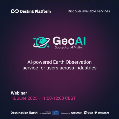
June 12, 2025: FlyPix AI presented the GeoAI service during a Destination Earth Platform webinar focused on AI-powered Earth observation.
The one-hour session demonstrated how users can build practical geospatial AI workflows without writing code, using their own imagery or Copernicus datasets. Examples included forestry monitoring and wildfire detection.
Destination Earth is a European Union initiative implemented by the European Space Agency, ECMWF, and EUMETSAT. The GeoAI service expands access to AI-driven analysis within this wider European Earth observation ecosystem.
Related links
About FlyPix AI
FlyPix AI provides a no-code geospatial AI platform that helps organizations transform satellite, aerial, and drone imagery into actionable insights through object detection, segmentation, localization, and change analysis.