Top Land Management Software, Tools, and AI Solutions
Managing land efficiently requires more than just traditional methods. Today, land management software and AI tools offer powerful solutions for planning, analysis, and resource management. These tools help streamline processes, improve accuracy, and support better decision-making. Whether you’re overseeing large agricultural projects or urban development, the right software can make a significant difference. In this […]
Top Land Management Companies in 2026
This article highlights the top land management companies transforming the industry in 2026, focusing on organizations dedicated to sustainable land use and environmental stewardship. By integrating advanced technologies like AI, drones, and satellite imagery, these companies deliver precise, actionable insights to address challenges in agriculture, forestry, mining, and urban development. From restoring ecosystems to optimizing […]
Top Aerial Survey Companies Revolutionizing Geospatial Data in 2026

This article showcases the top aerial survey companies driving innovation in geospatial data collection and analysis in 2026. These organizations harness cutting-edge drone technology, AI, and photogrammetry to provide accurate, efficient, and scalable solutions across industries like construction, agriculture, mining, and environmental management. From detailed 3D modeling to real-time monitoring, these pioneers are transforming how […]
High-Resolution Gigapixel Image Annotation Software: Precision at Scale
Annotating high-resolution gigapixel images manually has always been incredibly time-consuming. These massive files contain billions of pixels full of fine detail, making the work slow and exhausting. Fortunately, modern annotation tools are changing the game. Leveraging advanced AI, they quickly identify and outline numerous objects even in the most complex and dense scenes, turning hours […]
Top AI Solutions for SaaS Providers: Transforming Operations with Speed and Precision

SaaS providers are always looking for ways to move faster without sacrificing quality. The best AI solutions out there are making this possible by handling heavy data processing and analysis automatically, turning complicated tasks into simple, reliable results. The efficiency gains are huge. Processes that used to take minutes or even hours of manual work […]
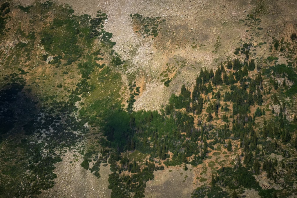
Powerful Geospatial Software Solutions for Forestry

Leading geospatial software solutions for forestry harness advanced AI to quickly detect, outline, and monitor trees, vegetation changes, and environmental features across vast areas using satellite, aerial, and drone imagery. The result is incredible precision and speed that turns dense, complex forest data into clear, actionable insights. What once took weeks or months of manual […]
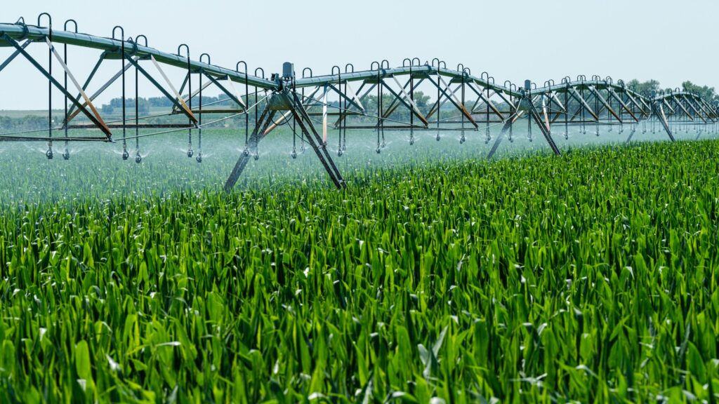
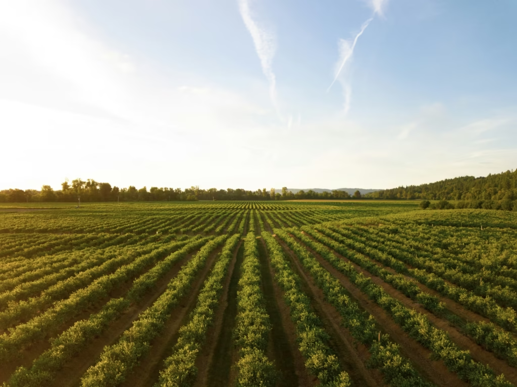
Advanced Remote Crop Monitoring Solutions Powered by Geospatial Intelligence

Remote crop monitoring solutions powered by geospatial intelligence are changing the way large fields are monitored. These solutions bring together high-resolution satellite data, drone imagery, and aerial views with AI to create clear and actionable insights about crop conditions. As a result, issues such as water stress, nutrient shortages, or pest activity can be detected […]
Top Geospatial Image Analysis Solutions Transforming Industries
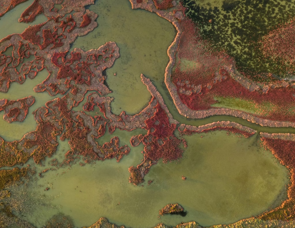
In today’s fast-moving world, geospatial image analysis solutions have become essential for turning massive amounts of satellite, aerial, and drone imagery into clear, actionable insights. These tools help organizations spot objects, track changes, and make smarter decisions across complex scenes – all with remarkable speed and accuracy. What once took teams weeks or even months […]
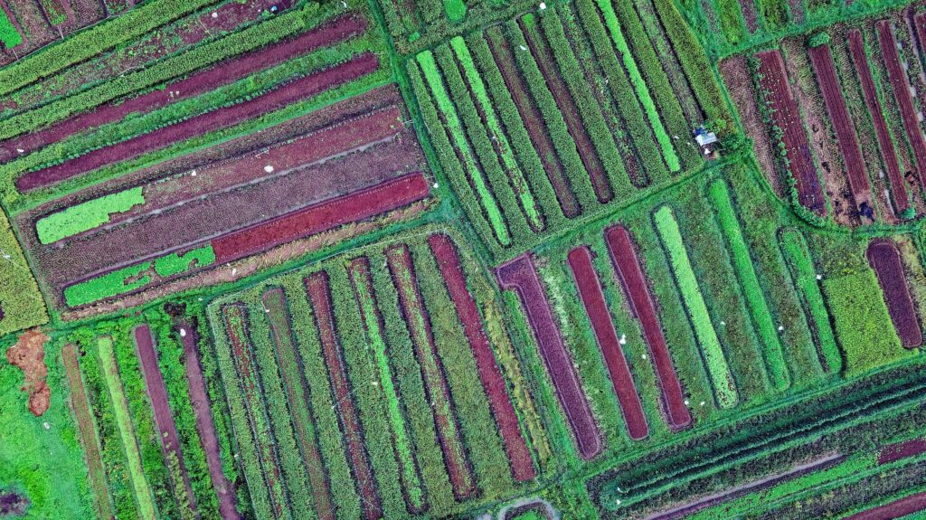
Advanced Precision Farming Geospatial Solutions Powered by AI
Leading precision farming geospatial solutions are changing how agriculture works by making smart use of satellite, aerial, and drone imagery. These tools bring real speed and accuracy, turning complicated visual data into straightforward, usable insights even in dense fields or areas with changing conditions. Automating tasks that used to take hours or sometimes months of […]
Leading Regulatory Reporting Solutions Powered by Geospatial AI

Top regulatory reporting solutions have transformed how organizations handle complex compliance requirements in environmental monitoring, infrastructure, and resource management. These solutions use cutting-edge AI to process vast amounts of geospatial data quickly and with impressive accuracy, turning hours or even months of manual work into just minutes of automated insights. What sets the strongest regulatory […]