FlyPix AI Launches on AWS Marketplace
March 16, 2026: FlyPix AI announced that its geospatial AI platform is now available on AWS Marketplace. Enterprise and government…





Automate What You See from the Sky
Save up to 99.7% of your time with AI agent-based automation of satellite, aerial and drone image analysis
Try NowTrusted by geospatial professionals worldwide. See customer reviews




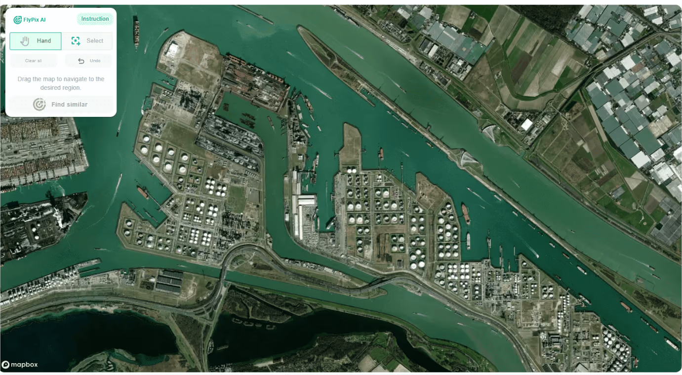
Leveraging advanced AI, FlyPix quickly identifies and outlines numerous objects
in geospatial images, making it perfect for analyzing complex and dense scenes.
Leveraging advanced AI, FlyPix quickly identifies and outlines numerous objects
in geospatial images, making it perfect for analyzing complex and dense scenes.
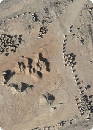
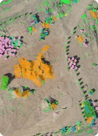
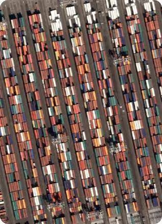
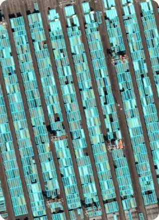
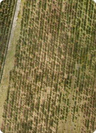
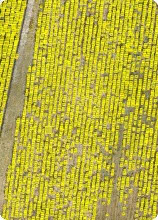
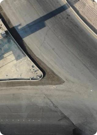
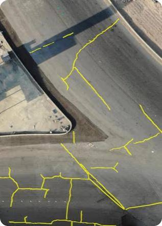

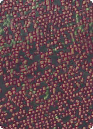


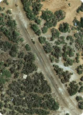
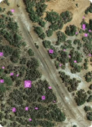

FlyPix adapts to your unique needs. Train AI models and get Individual geospatial analysis for any type of industry.
Discover how FlyPix can transform your projects.
Try NowSee what our clients are saying
We at acitoflux ran a joint pilot with FlyPix AI on in an industrial setting. We were impressed of the dedicated and easy-to-work-with team, expertise, and quick application of the technology to a novel use-case.
 Hannes OlbrichHead of Investor Office
FlyPix AI helped us go from idea to proof of concept in record time. Their team was responsive, the platform easy to integrate, and we were able to test geospatial insights on real property data within days.
 Ali TehranchiCEO
What surprised us most was how effortless it was to start using FlyPix AI. The platform is robust, easy to navigate, and extremely reliable.
 Krishna MohanBusiness Head
FlyPix AI made it remarkably easy to turn drone imagery into actionable results, truly the next-gen tech. providing the power of AI-driven analysis and cloud computing within minutes without the need for complex setups.
 Jordan BatesResearcher
Working with FlyPix.ai has significantly elevated the impact of our clean-up missions. We're proud to collaborate with a team that shares our values and commitment to environmental responsibility.
 Robin EngelhardChairman, Second Life e.V. Germany
FlyPix AI helped us automate land-use classification with incredible precision and speed, saving months of manual work.
 Rohit SinghDirector
Train custom AI models, without programming knowledge or deep knowledge of AI, with user-defined annotations to detect any objects visible in an image or raster, according to your specific needs.
Get Started Today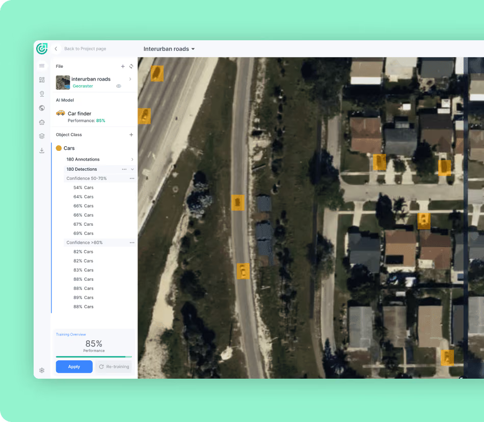
March 16, 2026: FlyPix AI announced that its geospatial AI platform is now available on AWS Marketplace. Enterprise and government…
March 3, 2026: FlyPix AI shared its experience as a CASSINI Challenges Prototype Track winner during an online event for space…
February 12, 2026: FlyPix AI and GeoVille successfully integrated FlyPix AI’s GeoAI capabilities into DestinEStreamer. The…
January 22, 2026: FlyPix AI was selected as one of six German space scale-ups for Batch 2 of the ESA Business Accelerator Germany.…
Leveraging advanced AI, FlyPix quickly identifies and outlines numerous objects in geospatial images,
making it perfect for analyzing complex and dense scenes.
We value your privacy
We use cookies to enhance your browsing experience, serve personalized ads or content, and analyze our traffic. By clicking "Accept All", you consent to our use of cookies. Privacy Policy