Powerful Geospatial Software Solutions for Forestry
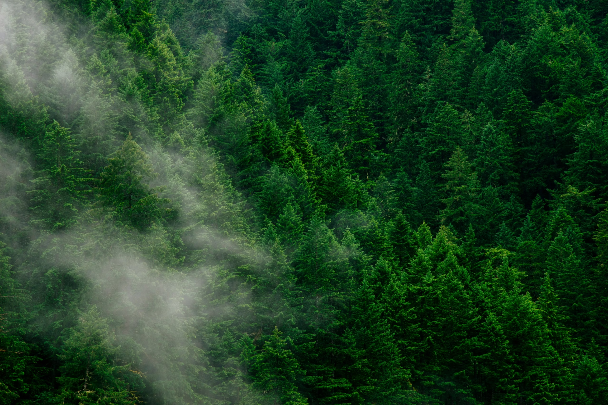
Leading geospatial software solutions for forestry harness advanced AI to quickly detect, outline, and monitor trees, vegetation changes,

Leading geospatial software solutions for forestry harness advanced AI to quickly detect, outline, and monitor trees, vegetation changes,
Remote crop monitoring solutions powered by geospatial intelligence are changing the way large fields are monitored. These solutions
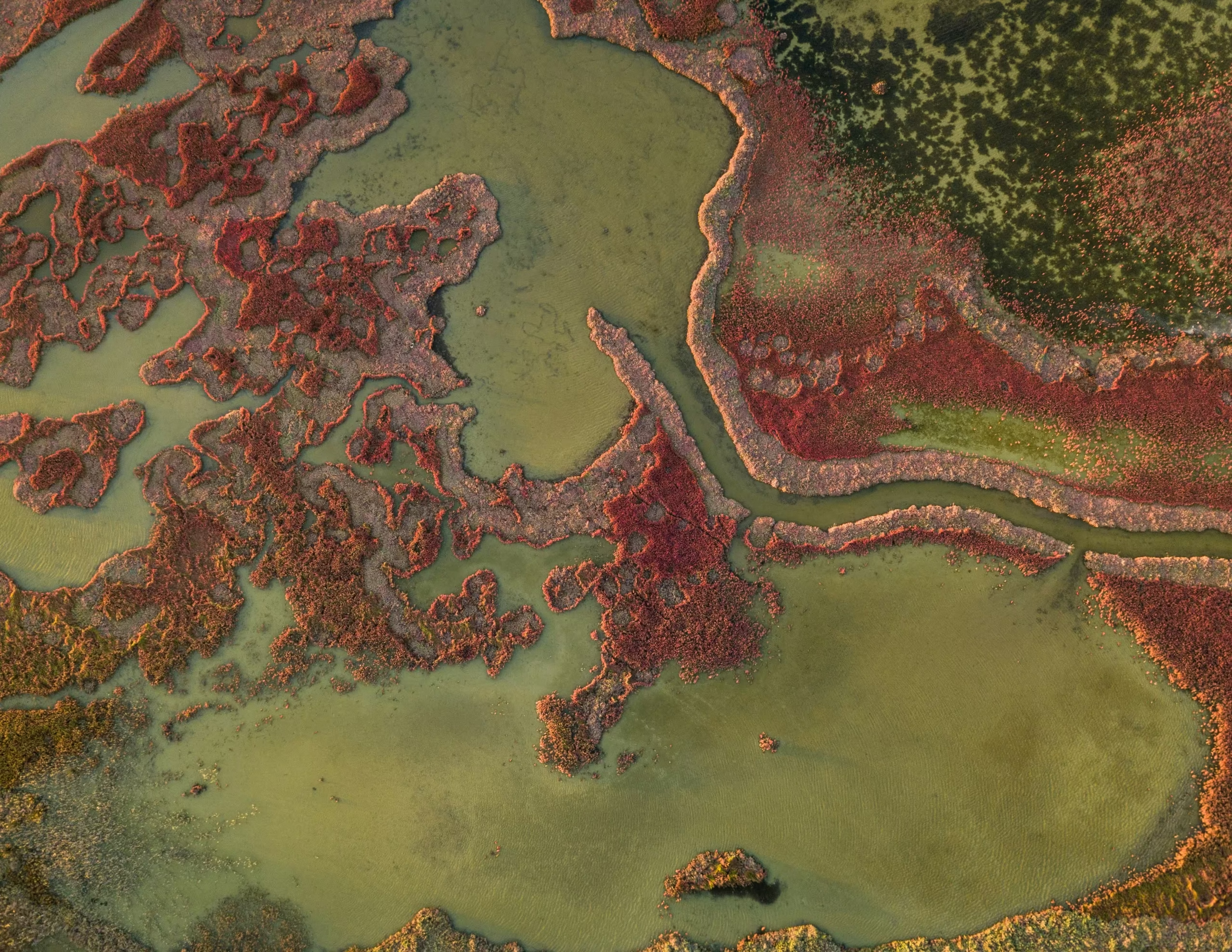
In today’s fast-moving world, geospatial image analysis solutions have become essential for turning massive amounts of satellite, aerial,
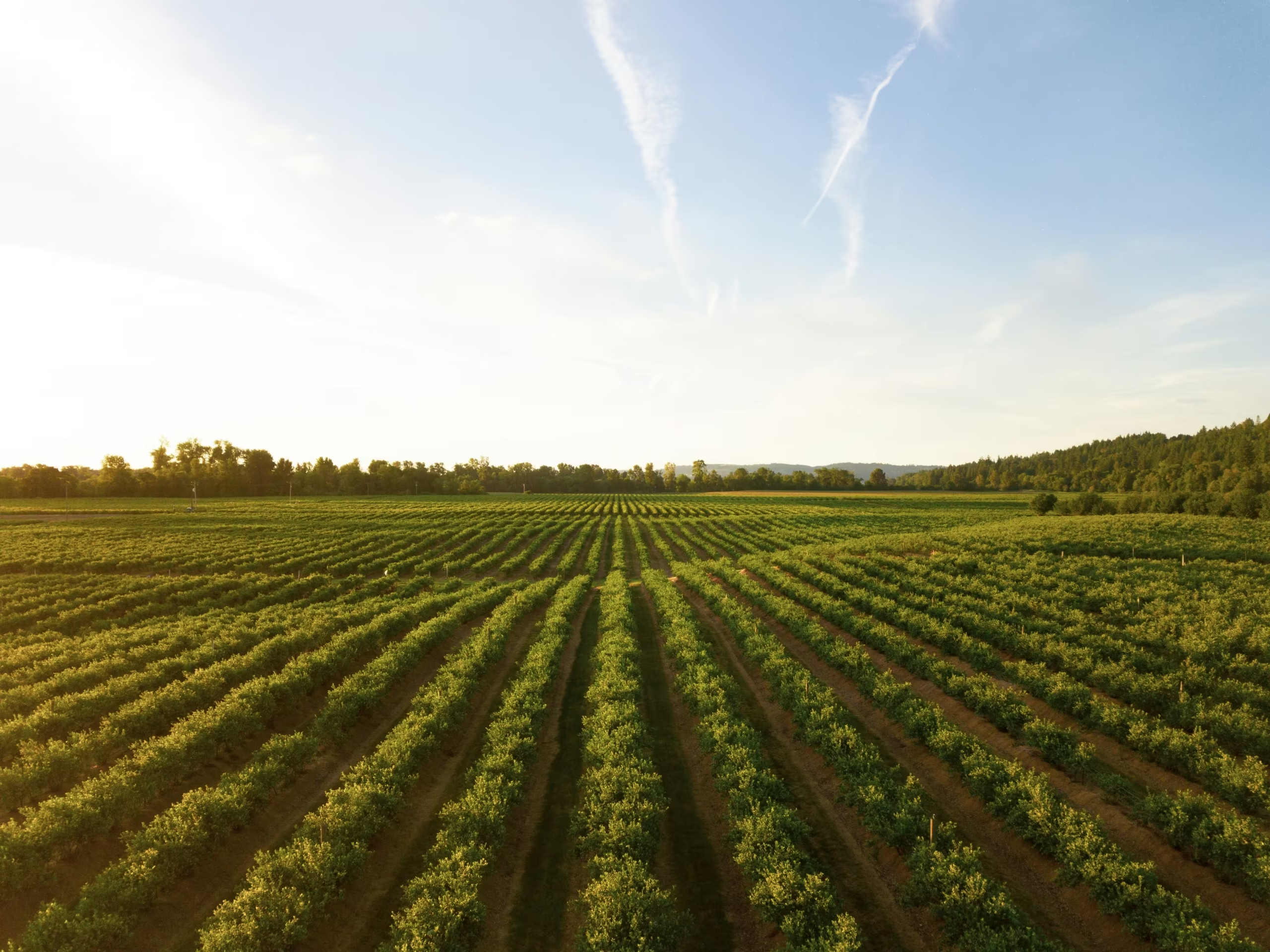
Leading precision farming geospatial solutions are changing how agriculture works by making smart use of satellite, aerial, and

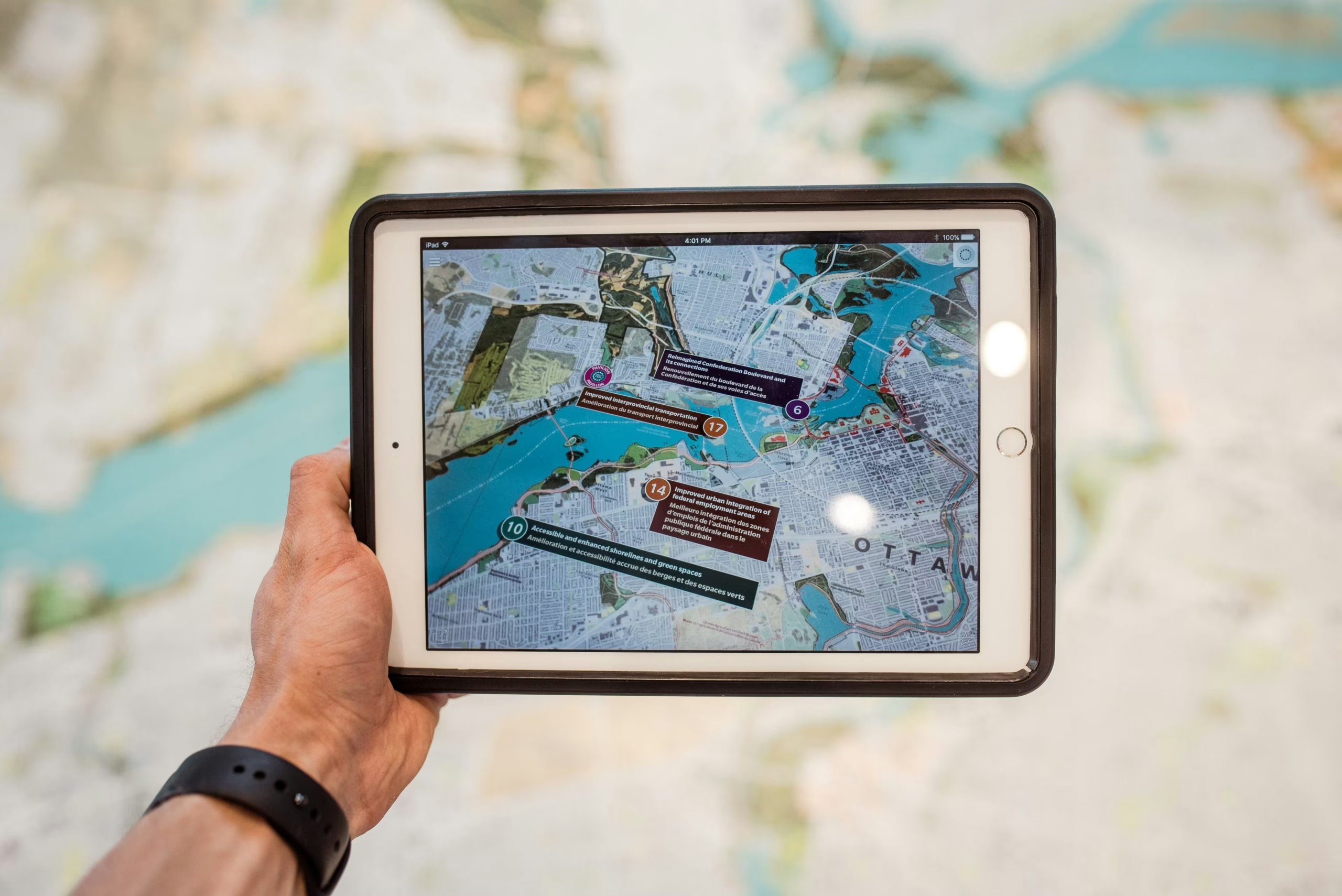
Top regulatory reporting solutions have transformed how organizations handle complex compliance requirements in environmental monitoring, infrastructure, and resource
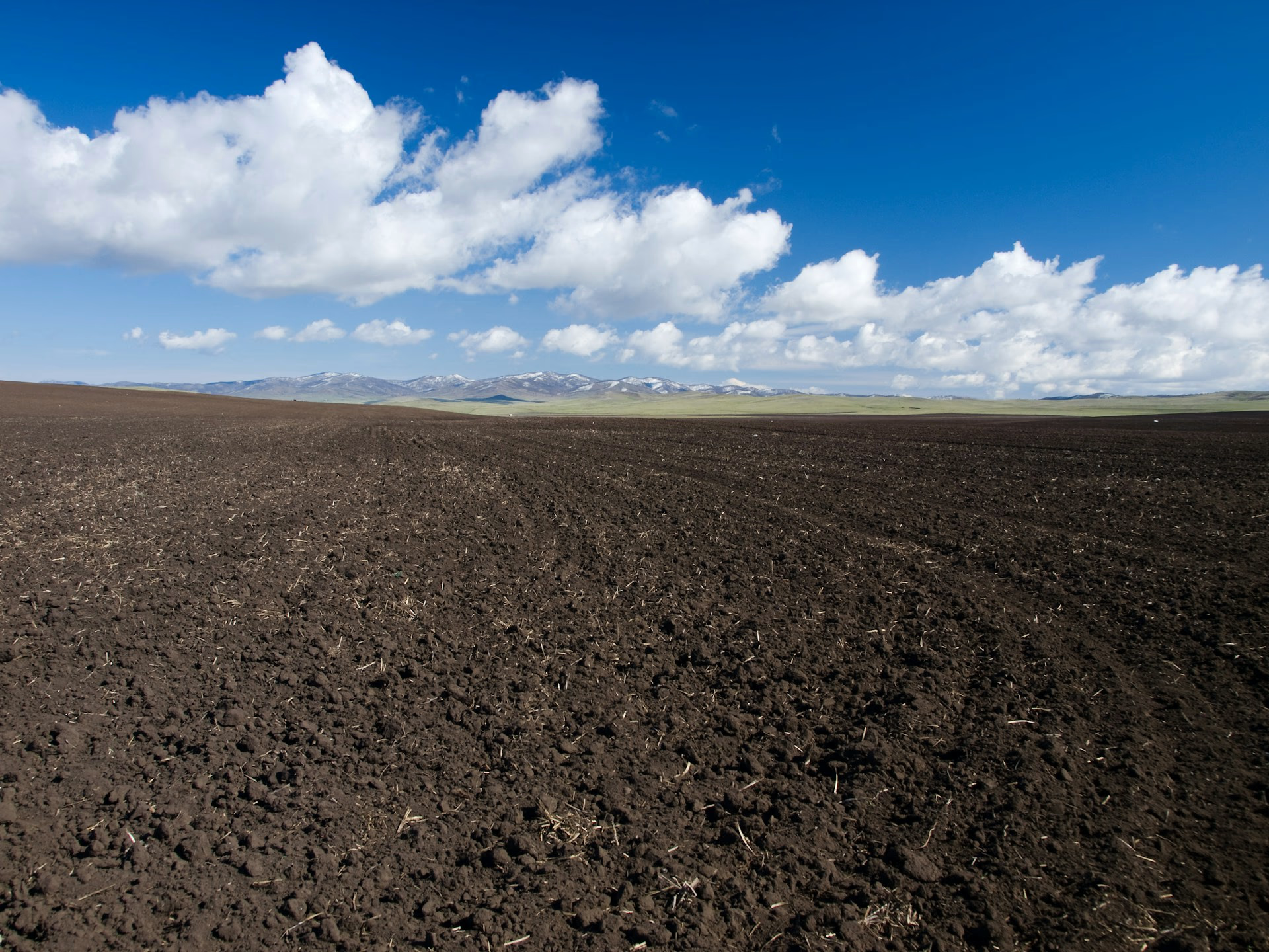
Soil is composed of sand, silt, clay, organic matter, water, air, and living organisms. The main types include
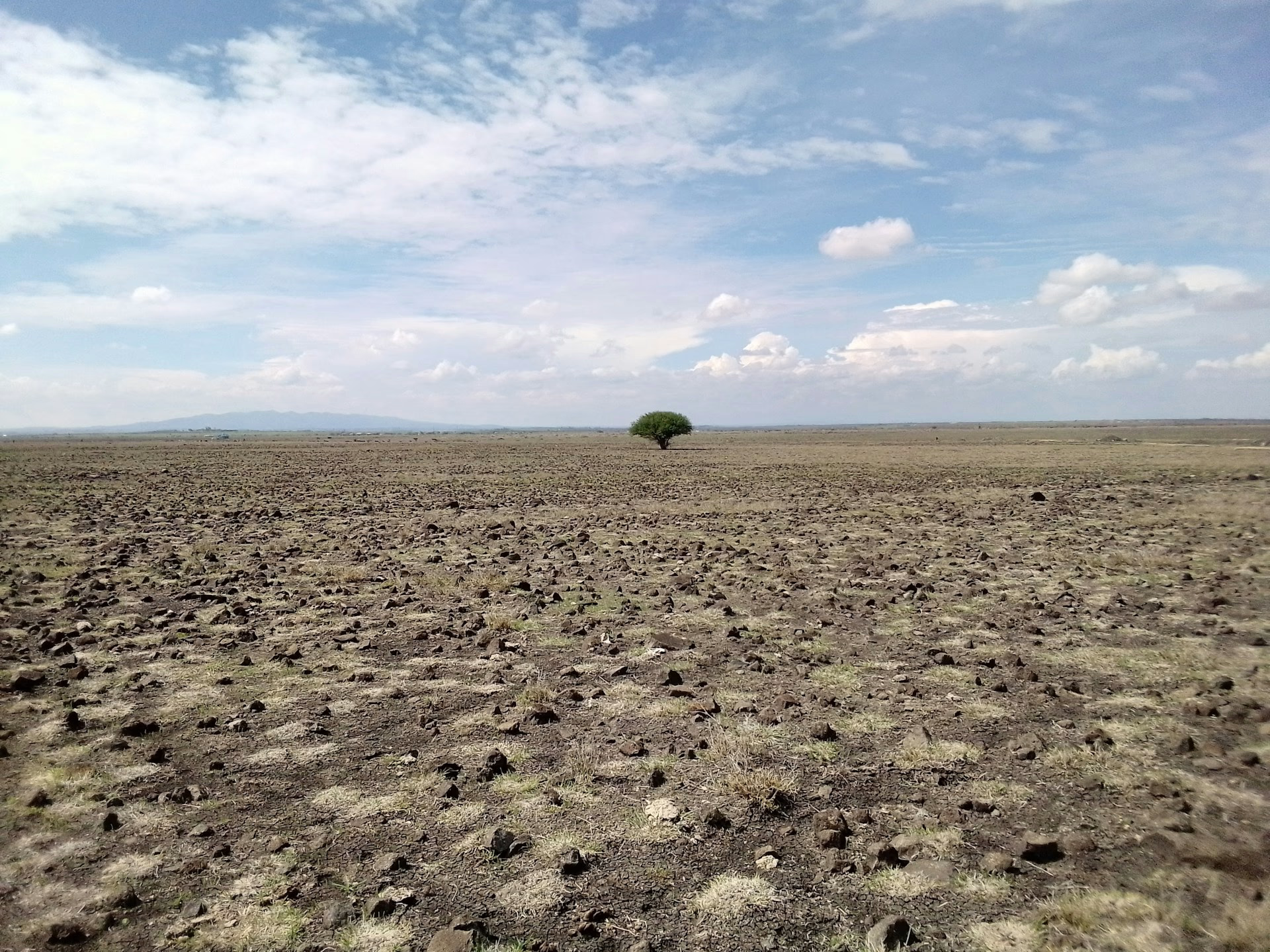
Soil degradation—the decline of soil’s physical, chemical, and biological properties—threatens food security for 1.7 billion people and 95%
Fertilizers fall into three main categories: synthetic (fast-acting, water-soluble nutrients), organic (slow-release, soil-building materials), and controlled-release (coated granules
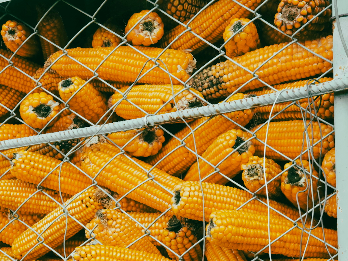
Crops are classified by use into six major categories: food crops (grains, fruits, vegetables), feed crops (animal nutrition),