Die beste Software und KI-Tools für die Minenwartung im Jahr 2024
Bergbaubetriebe sind in hohem Maße auf effektive Wartungsstrategien angewiesen, um Sicherheit und Produktivität zu gewährleisten. Mit Fortschritten in Technologie, Software
Präzisionslandwirtschaft verstehen: Werkzeuge, Software und KI
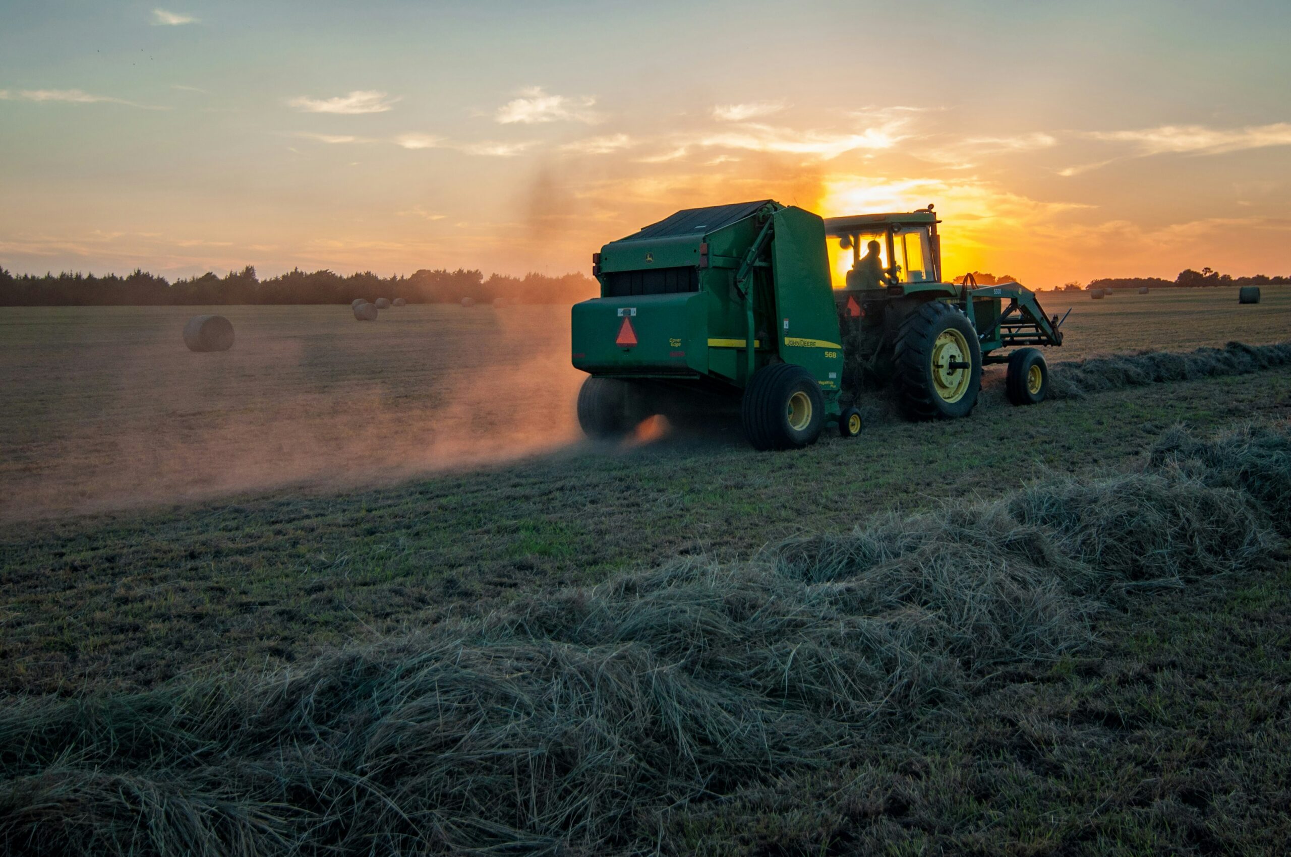
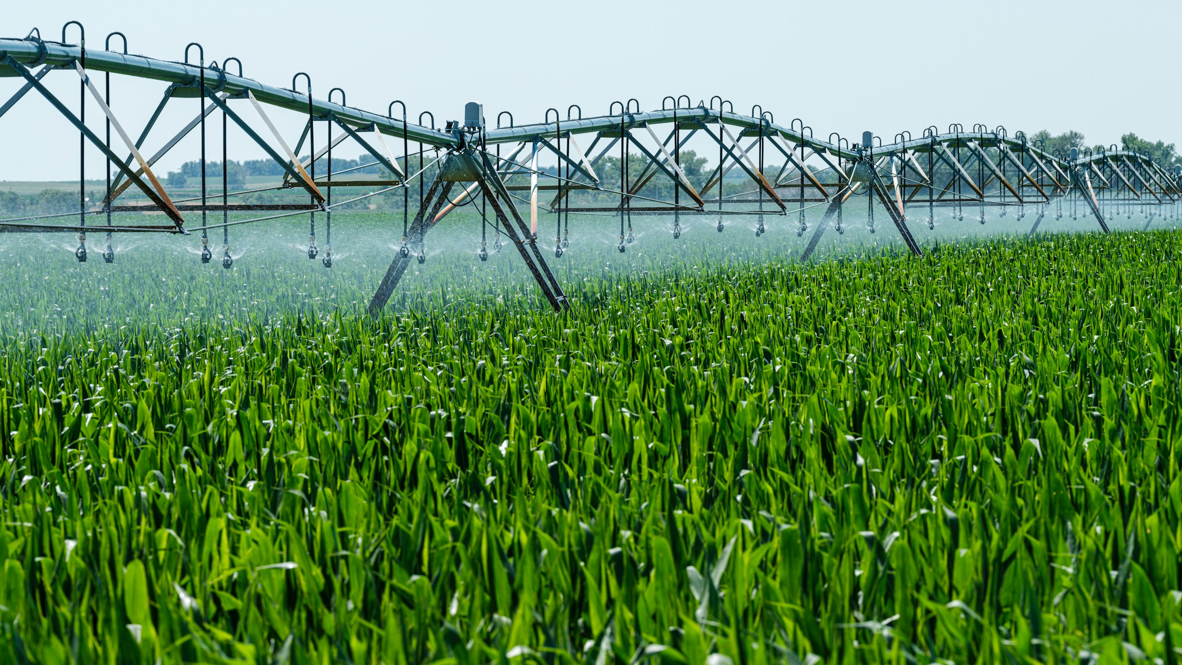
Die Landwirtschaft verändert sich mit dem Fortschritt der Technologie rasch, und die Präzisionslandwirtschaft steht dabei an vorderster Front.

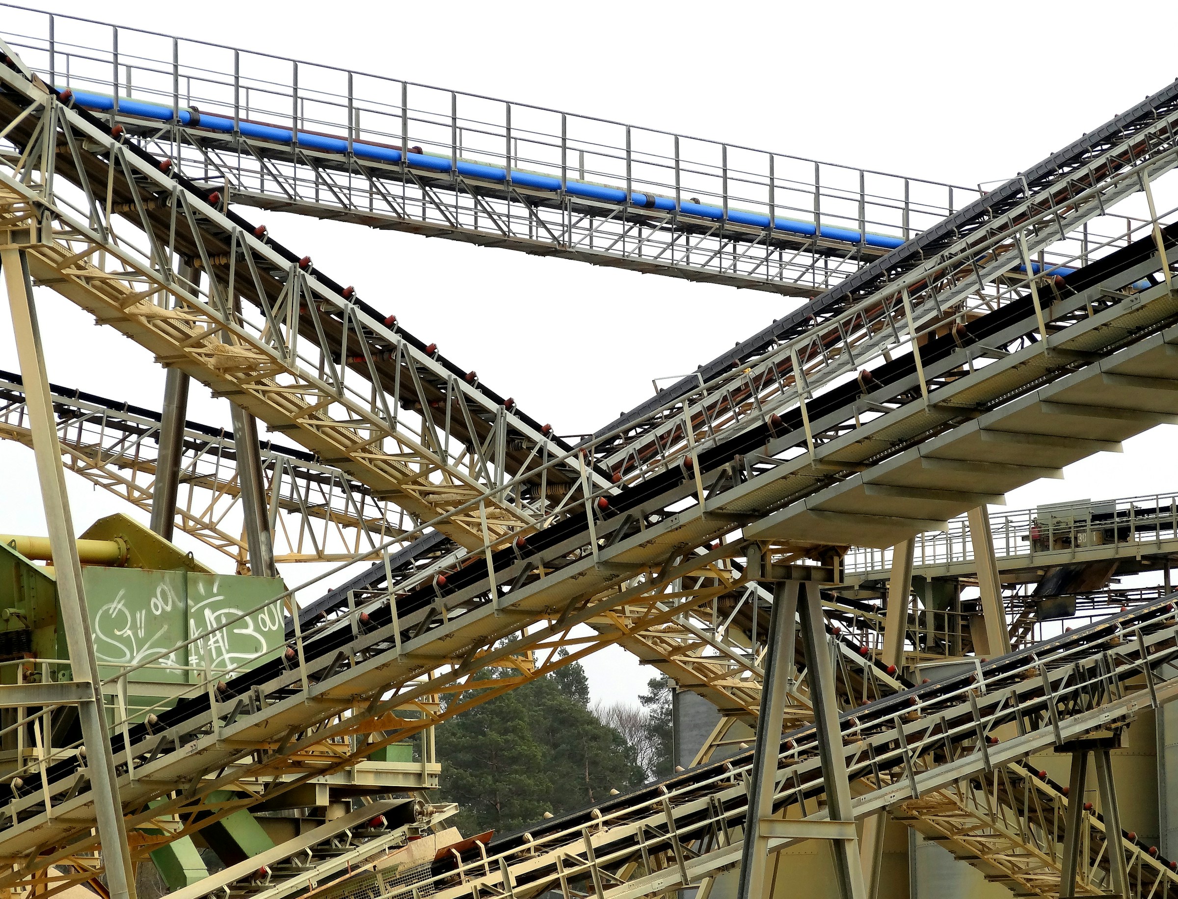
Wichtige Software, Tools und KI-Lösungen für die Bergbauindustrie
Die Bergbauindustrie setzt zunehmend auf Software, Tools und KI-Lösungen, um ihre komplexen Herausforderungen zu bewältigen. Diese
Erstklassige Software, Tools und KI-Lösungen für das Landmanagement
Effizientes Landmanagement erfordert mehr als nur traditionelle Methoden. Heutzutage bieten Landmanagement-Software und KI-Tools leistungsstarke

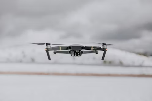
Top-Unternehmen für Drohnenkartierung in den USA
Die Kartierung per Drohne revolutioniert die Art und Weise, wie Branchen wie Bauwesen, Landwirtschaft und Immobilien Vermessungen durchführen und Daten sammeln.
Top-Unternehmen für die Inspektion von Windkraftanlagen per Drohne in den USA
Windturbinen sind wichtige Komponenten der Infrastruktur für erneuerbare Energien. Um ihre optimale Leistung sicherzustellen, bedarf es regelmäßiger und

Top-Unternehmen für Drohnenvermessung in den USA
Drohnenvermessung ist zu einem unverzichtbaren Werkzeug für Branchen geworden, die eine genaue und effiziente Datenerfassung benötigen von der

Top-Unternehmen für kommerzielle Drohnen in den USA
Die kommerzielle Drohnenindustrie in den USA boomt. Unternehmen sind führend bei der Bereitstellung innovativer UAVs

Top-Unternehmen für Landwirtschaftsdrohnen in den USA
Landwirtschaftsdrohnen verändern die Landwirtschaft, indem sie Landwirten leistungsstarke Werkzeuge zur Überwachung von Ernten, zur Beurteilung des Bodens bieten.