Vom Ballon zum Satellit: Eine Reise durch die Entwicklung der Fernerkundung und der Auflösung von Satellitenbildern
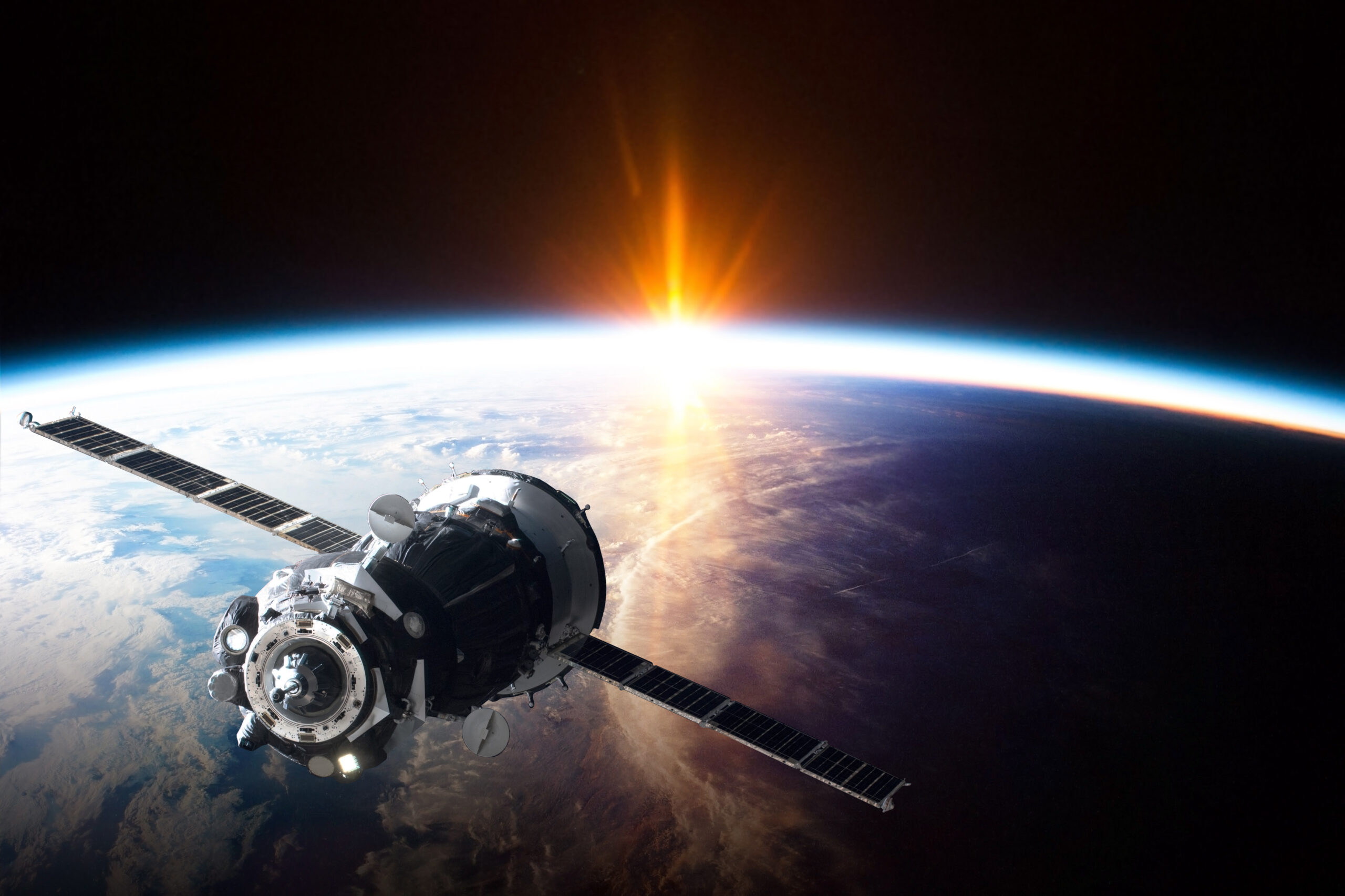
Remote sensing is the science of gathering information about an object or phenomenon without making physical contact with
Remote sensing is the science of gathering information about an object or phenomenon without making physical contact with

Remote sensing sensors are instruments that are used to collect data about the Earth’s surface and atmosphere remotely.
Luftbilder sind für eine Vielzahl von Branchen, von der Landwirtschaft bis zur Infrastruktur, zu einem immer wertvolleren Werkzeug geworden.
Naturkatastrophen wie Wirbelstürme, Waldbrände und Erdbeben können jederzeit eintreten und weitreichende Schäden und Störungen verursachen.

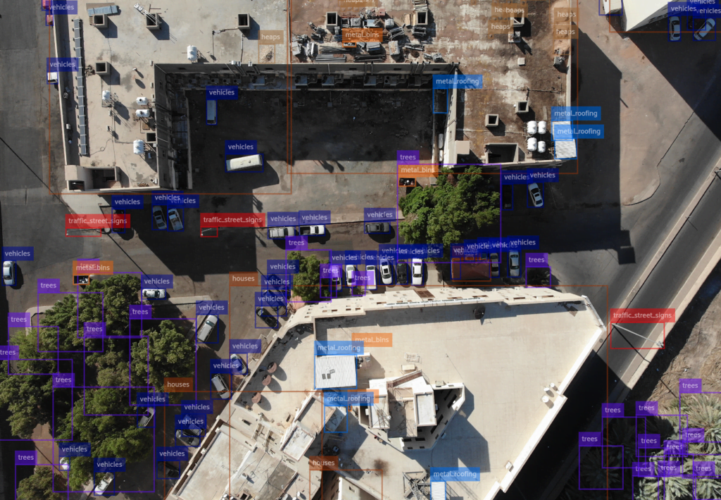
The use of AI-powered object detection for aerial imagery is transforming the way we plan, design, and manage
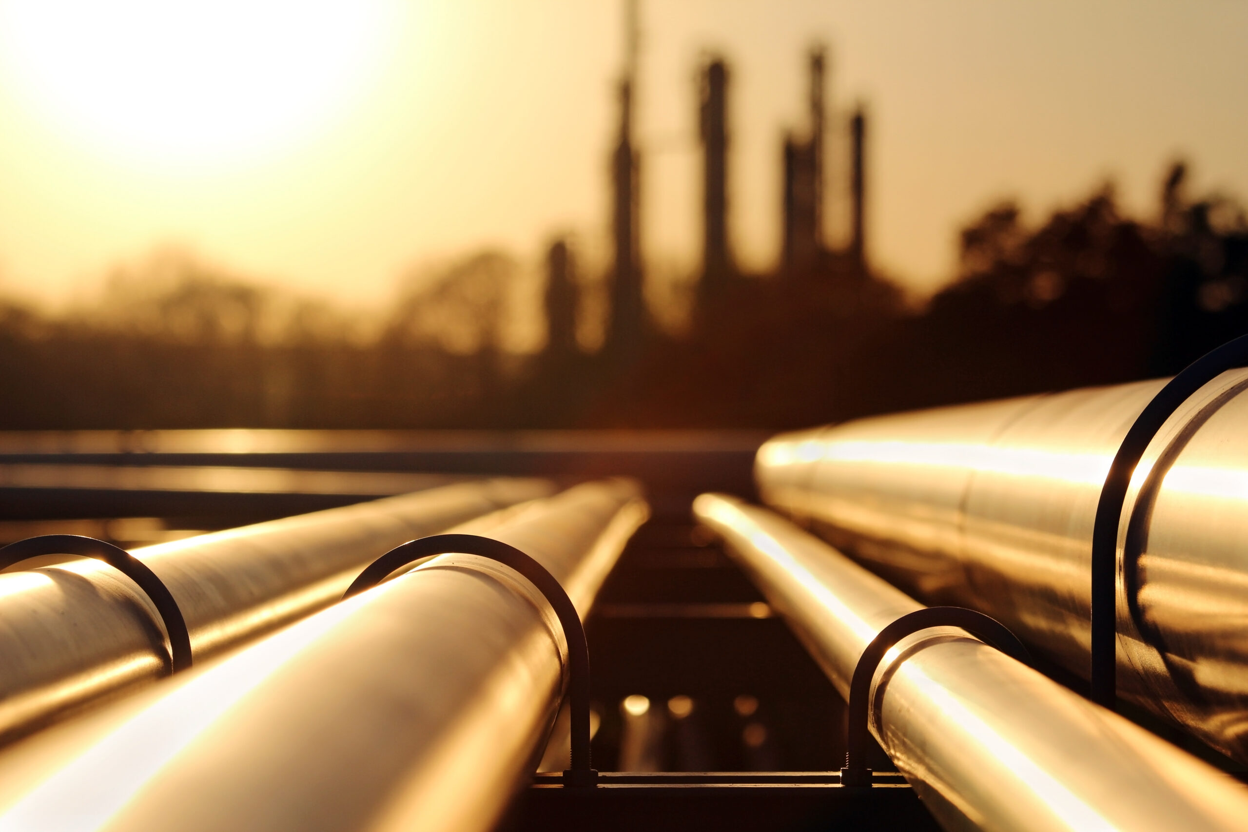
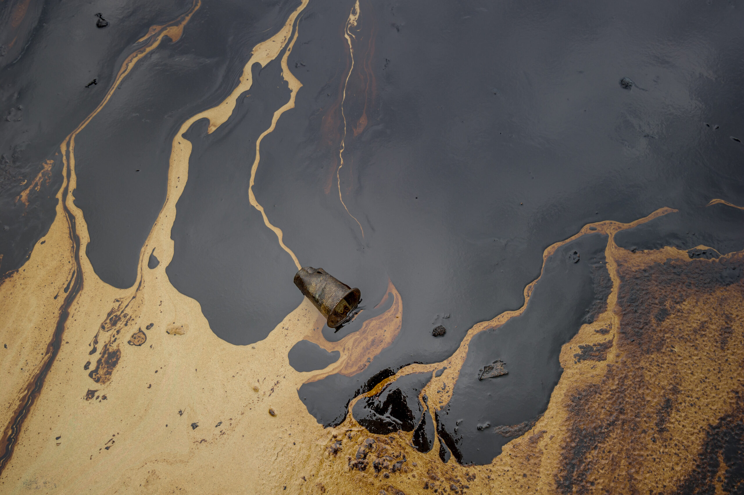
In today’s fast-paced world, technology is rapidly changing the way we do things and the oil and gas
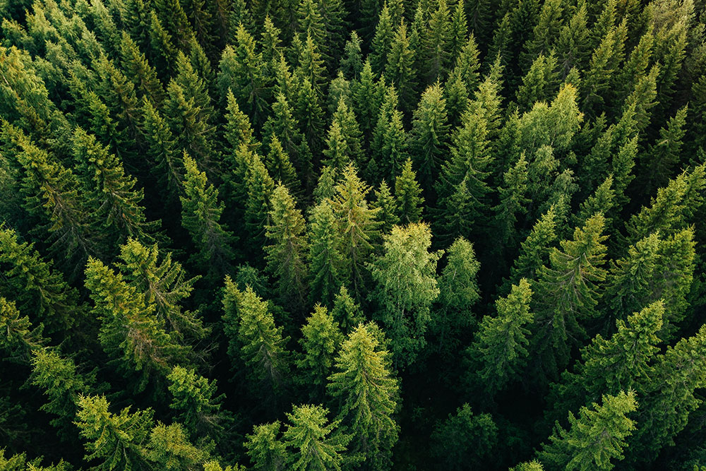
Object detection in satellite imagery can be a powerful tool for wildlife and forest conservation. By using advanced
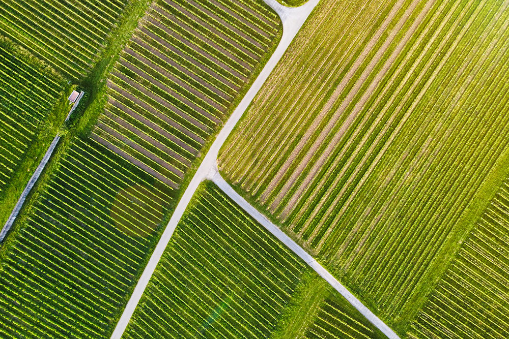
UAV-basierte Objekterkennung in der Präzisionslandwirtschaft