Blog
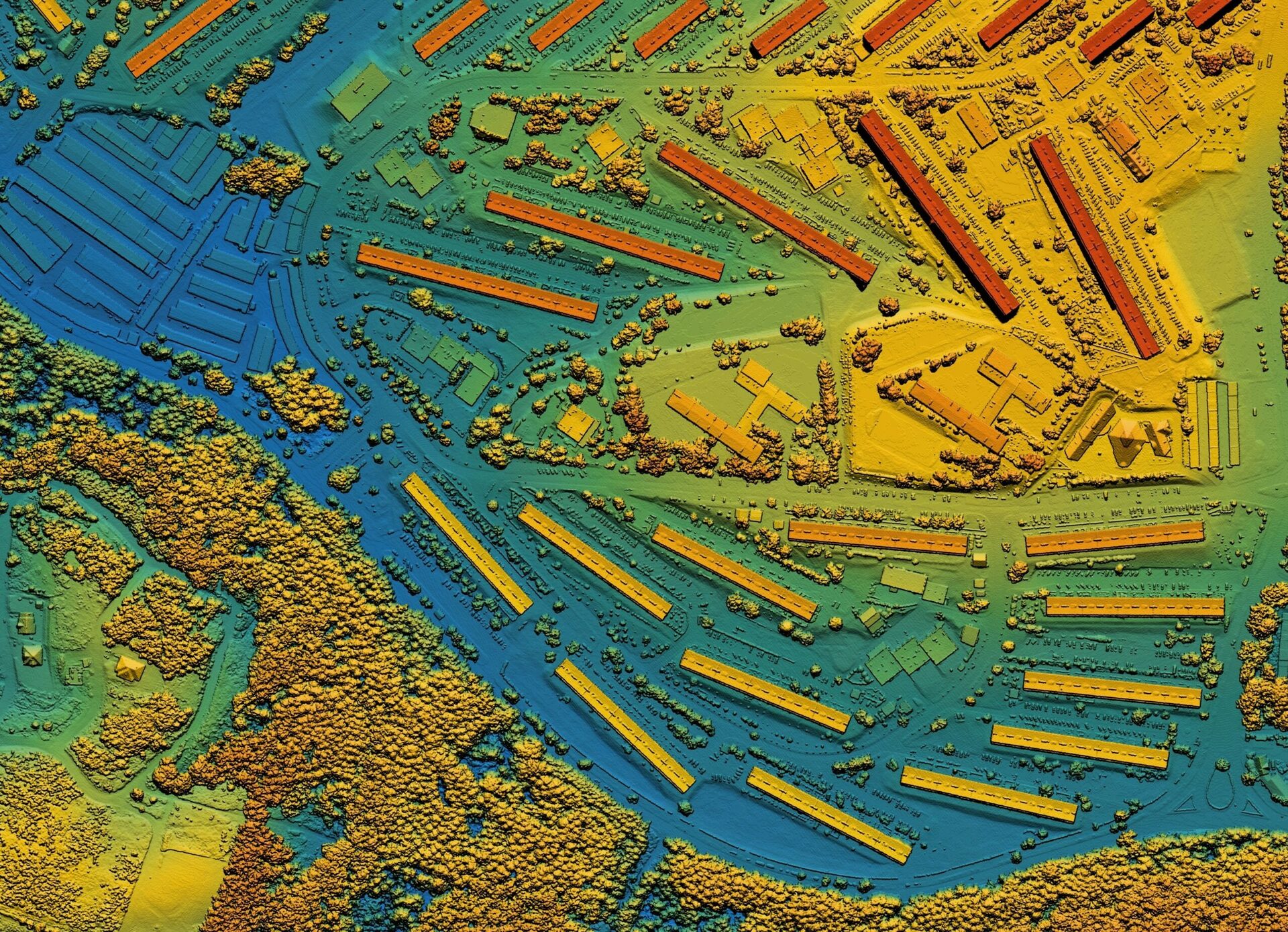
Top 5 LiDAR Applications
In the realm of remote sensing, LiDAR technology stands out as a transformative force that is ushering in…
Read More
Time-Series Analysis of Satellite Data: Unveiling Trends and Patterns
In the realm of geospatial data analysis, the ability to capture and interpret changes over time is a…
Read More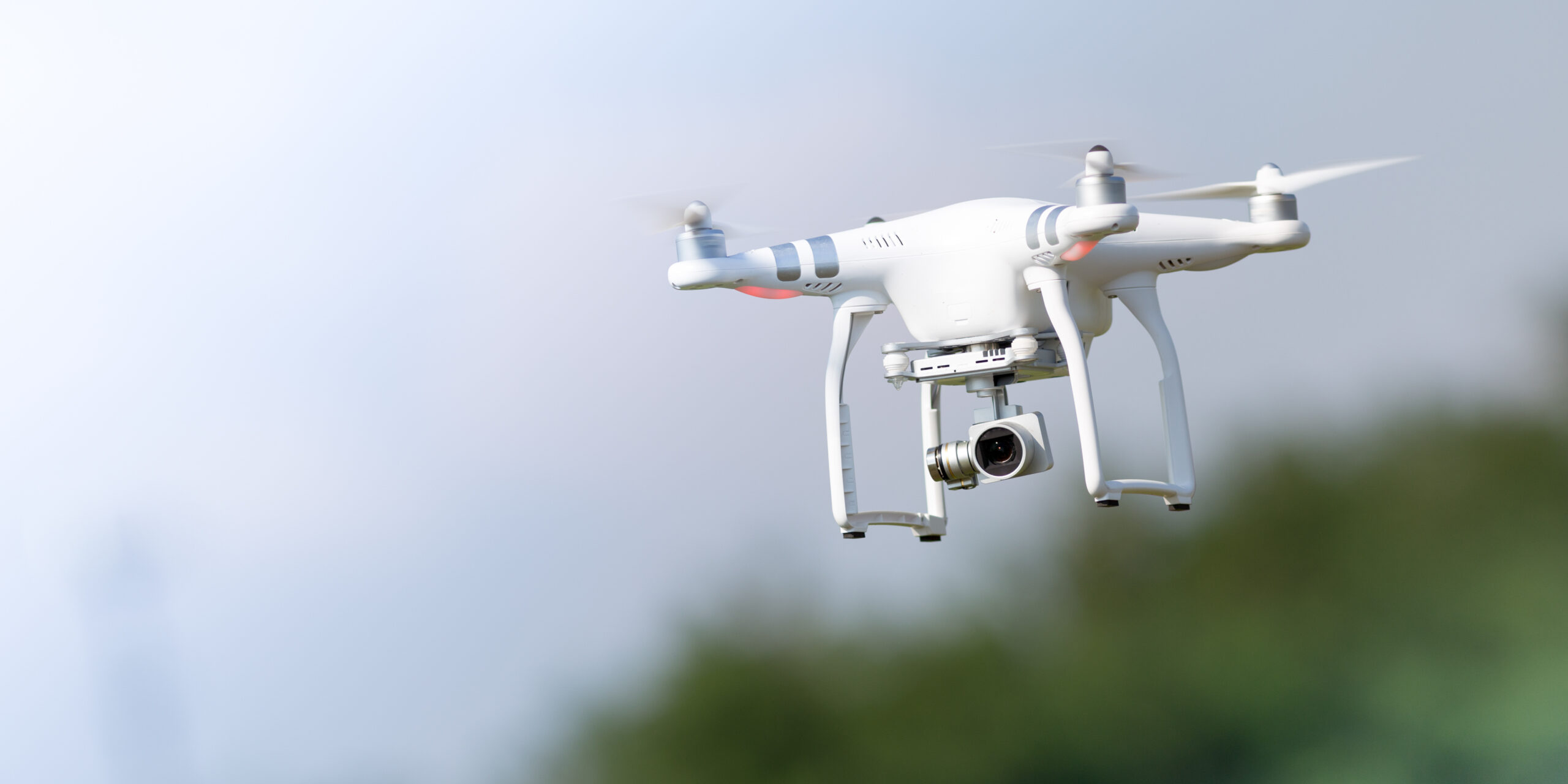
Drones vs Satellites: A Comparative Analysis in Geospatial Intelligence
Geospatial intelligence involves the utilization of satellite and aerial imagery, alongside other geospatial data, to enhance our comprehension…
Read More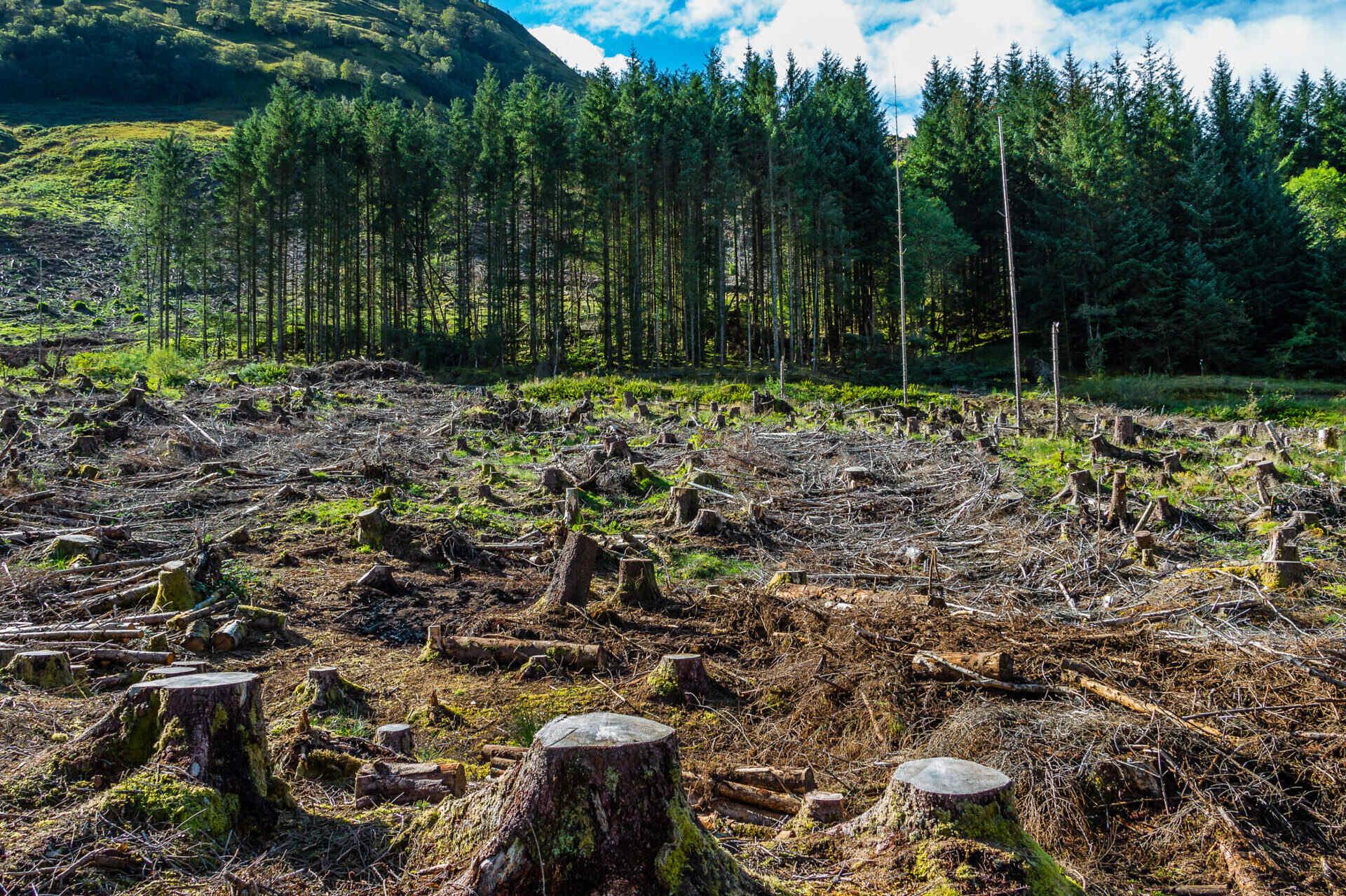
Geospatial AI Solutions for Complying with EU’s Deforestation Law
In recent times, the world has witnessed an increased focus on addressing the alarming rate of deforestation and…
Read More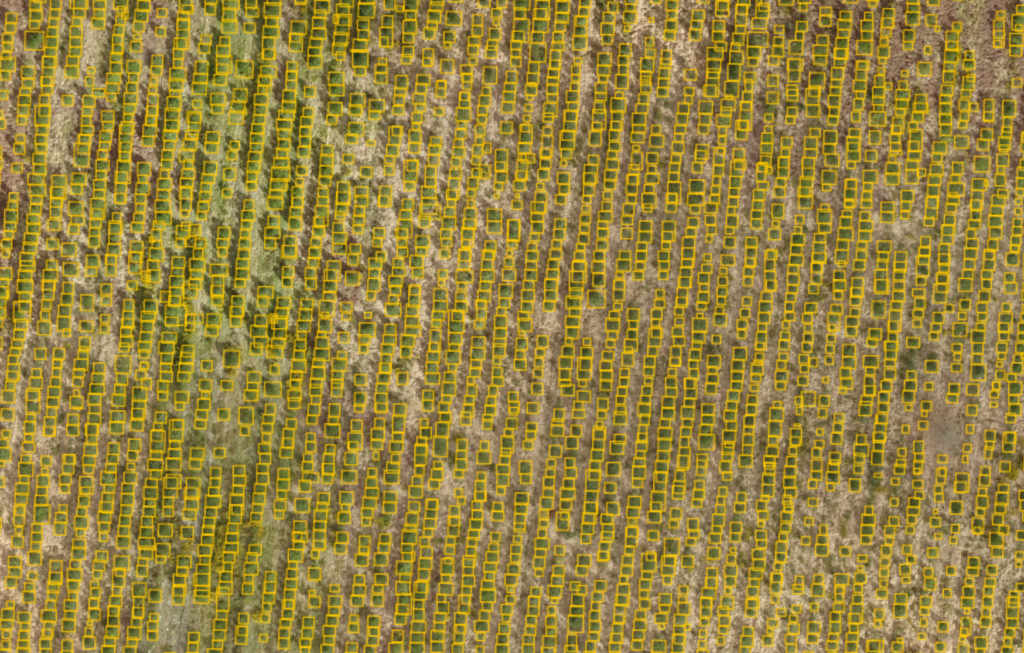
Empowering Object Detection, Segmentation, and Localization for Tree Detection and Beyond
Introduction Amid growing environmental concerns and the need for efficient urban planning, tree detection from aerial imagery has…
Read More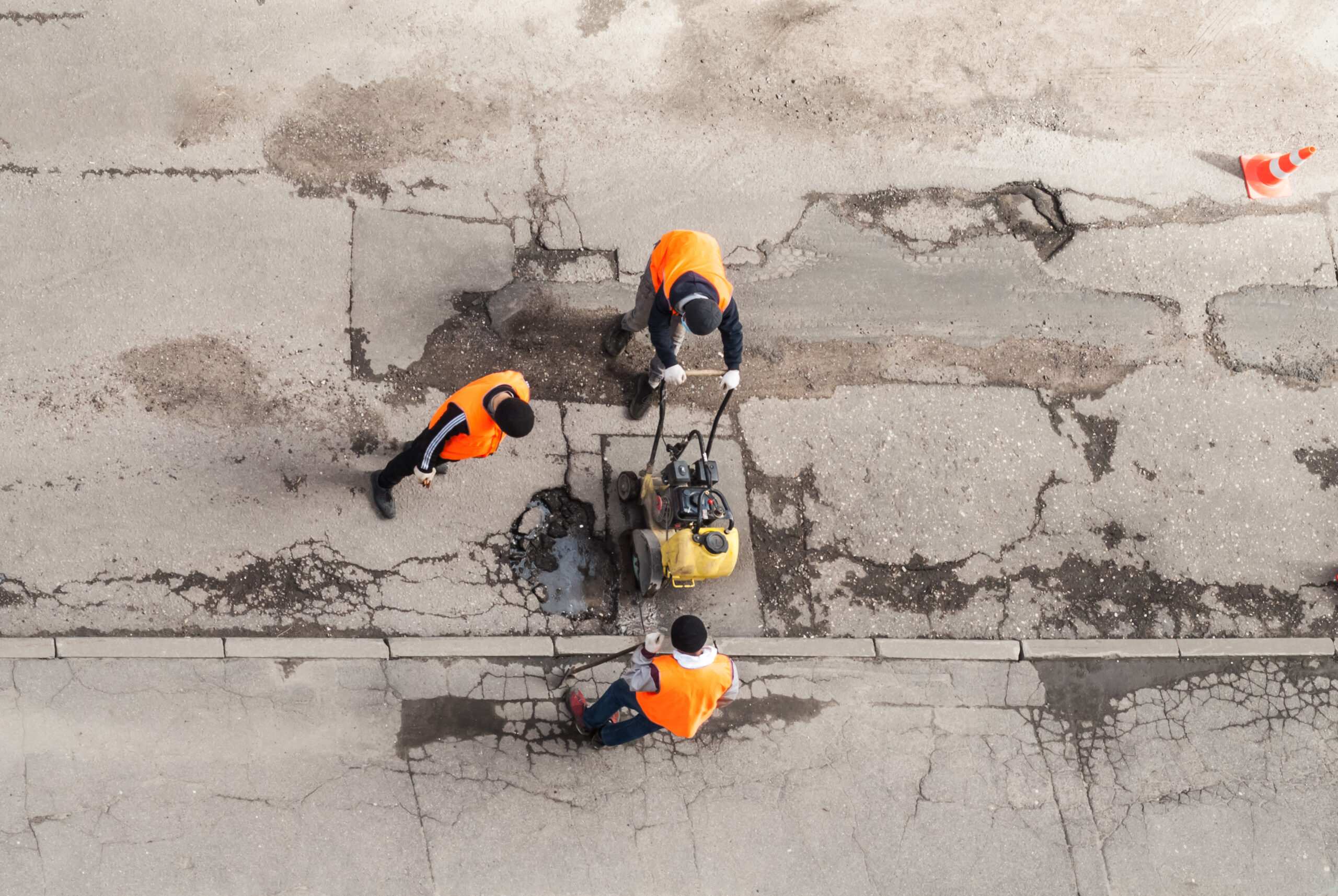
AI-Driven Road Inspection for Efficient City Management
Introduction: Maintaining the infrastructure of a city is an ongoing challenge for municipal authorities around the world. One…
Read More