ACCA Software (BibLus) Review 2026: A Deep Dive
Quick Summary: ACCA Software offers a comprehensive suite of tools for the AEC industry, centered around its openBIM philosophy and the…
Read More »: ACCA Software (BibLus) Review 2026: A Deep Dive
Quick Summary: ACCA Software offers a comprehensive suite of tools for the AEC industry, centered around its openBIM philosophy and the…
Read More »: ACCA Software (BibLus) Review 2026: A Deep DiveQuick Summary: ABF Environmental provides a specialized Baseline Environmental Assessment (BEA) service, not a software tool, designed to…
Read More »: ABF Environmental BEA Review 2026: The Ultimate GuideQuick Summary: ABB provides a comprehensive suite of digital tools and software solutions across automation, electrification, robotics, and…
Read More »: ABB Tool Overview: Digital Solutions Guide 2026Quick Summary: A3 Environmental Consultants uses a modern technology stack combining Formsite for site assessment questionnaires, Bluebeam…
Read More »: A3 Environmental Consultants Tool Overview 2026Quick Summary: 3Dsurvey is an all-in-one photogrammetry software designed for professionals, particularly in land surveying, construction,…
Read More »: 3Dsurvey Review 2026: The All-in-One Drone Mapping Tool?Quick Summary: 3DF Zephyr is a versatile photogrammetry software developed by 3DFlow that caters to both beginners and professionals. It…
Read More »: 3DF Zephyr Review (2026): A Deep Dive Into the ToolQuick Summary: 3D Slicer is a free, open-source software platform for medical image visualization, analysis, and processing. It supports…
Read More »: 3D Slicer Tool Overview: Features & Capabilities 2026Quick Summary: 3D City Planner is a web-based urban planning platform that combines real-time 3D visualization with GIS integration and…
Read More »: 3D City Planner Review: 4D Urban Planning Tool (2026)Quick Summary: The 2-0 LCA Land Use Change tool is a sophisticated model designed to integrate the environmental impacts of both direct and…
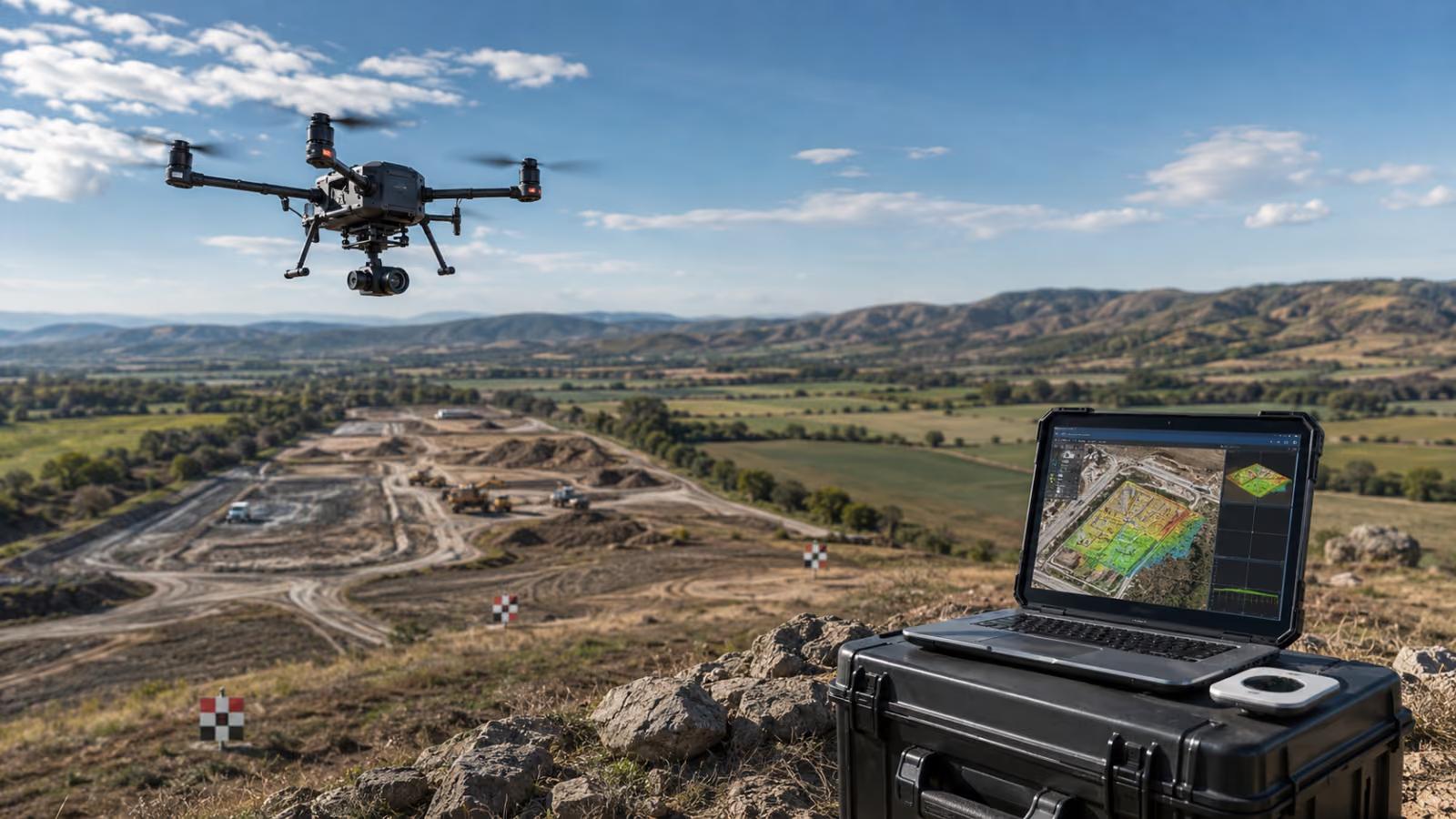
Read More »: 2-0 LCA Land Use Change Tool Review (2026 Update)Top companies in the geospatial space are redefining what's possible with aerial survey solutions. They combine high-resolution drone and…
Read More »: Best Aerial Survey Solutions Powering Modern Geospatial ProjectsWe value your privacy
We use cookies to enhance your browsing experience, serve personalized ads or content, and analyze our traffic. By clicking "Accept All", you consent to our use of cookies. Privacy Policy