Radar Systems: How Do They Work and What Are Their Applications?
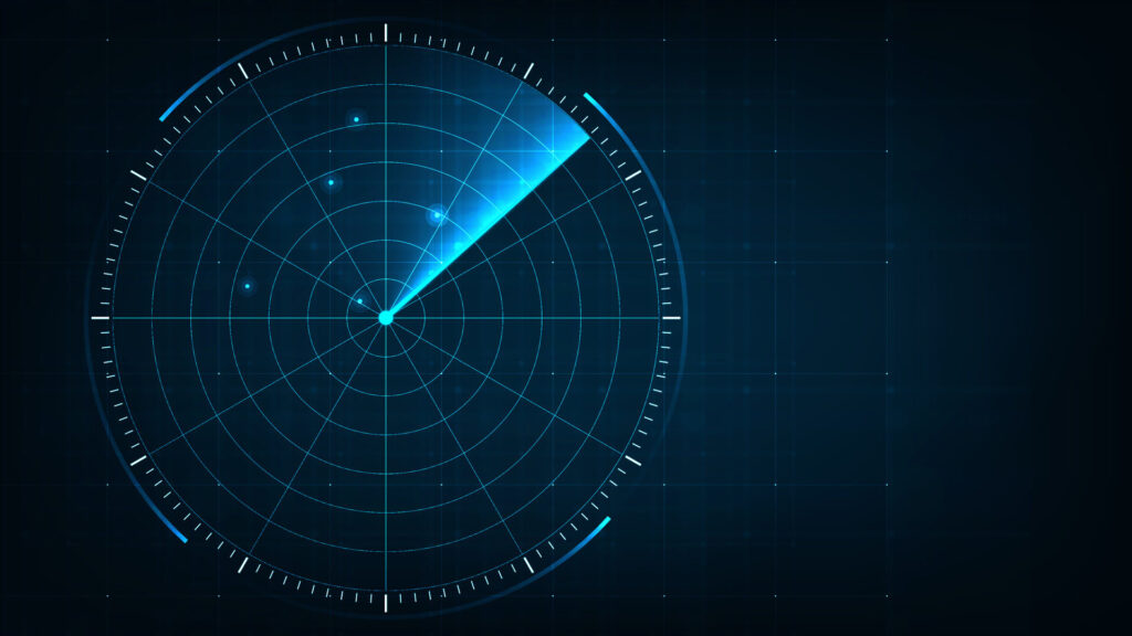
When most people think of radar sensors, they envision weather forecasting equipment tracking rain, snow, or approaching storms. While radar’s meteorological applications are indeed crucial, radar technology goes far beyond predicting the weather. In this post, we’ll take a closer look at radar sensors, the different types available, how they work, and their diverse range […]
Top 5 LiDAR Applications
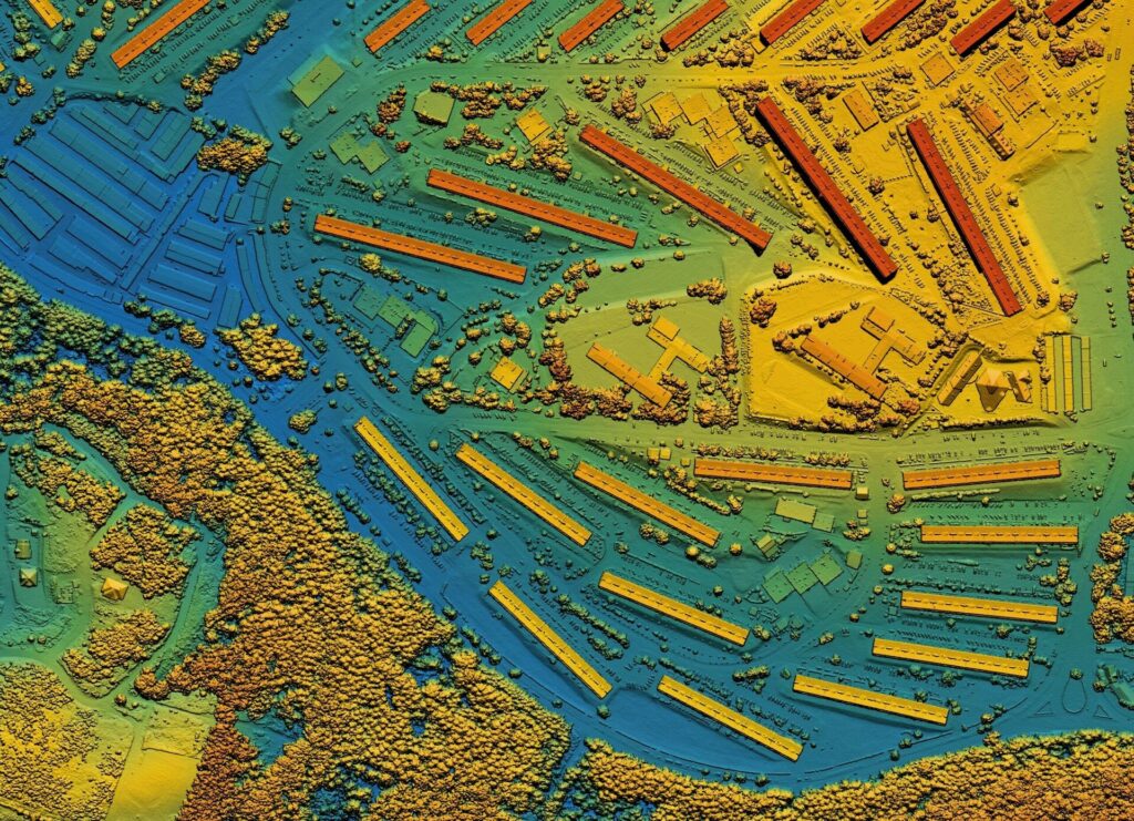
In the realm of remote sensing, LiDAR technology stands out as a transformative force that is ushering in a new era in topographic mapping, forestry management, and urban planning. In this article, we’ll explore how LiDAR works and the different ways it is revolutionizing these fields. What is LiDAR? Light Detection and Ranging or simply […]
Time-Series Analysis of Satellite Data: Unveiling Trends and Patterns
In the realm of geospatial data analysis, the ability to capture and interpret changes over time is a powerful tool. Time-series analysis of satellite imagery is a valuable resource for exploring the ever-changing processes occurring on our planet. By gathering and scrutinizing images taken over various time periods we can unveil trends and patterns in […]
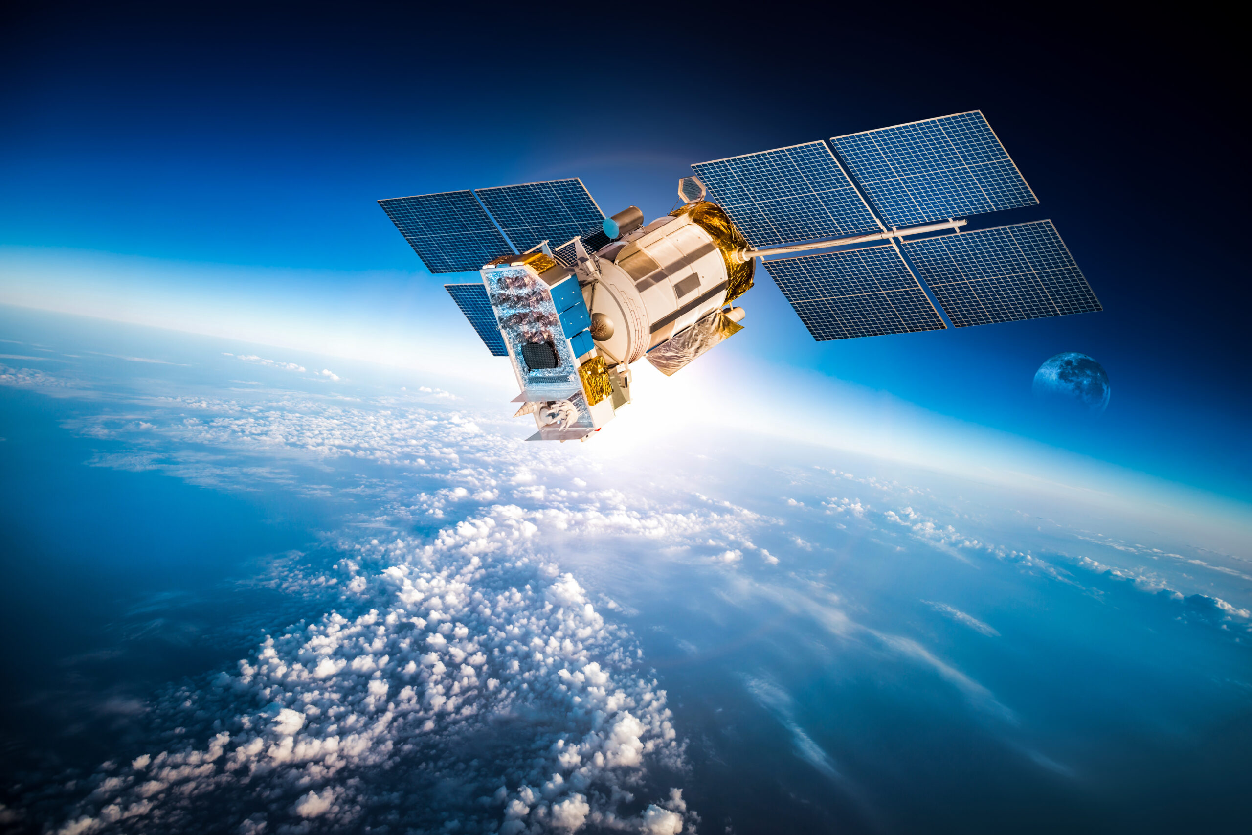
Drones vs Satellites: A Comparative Analysis in Geospatial Intelligence
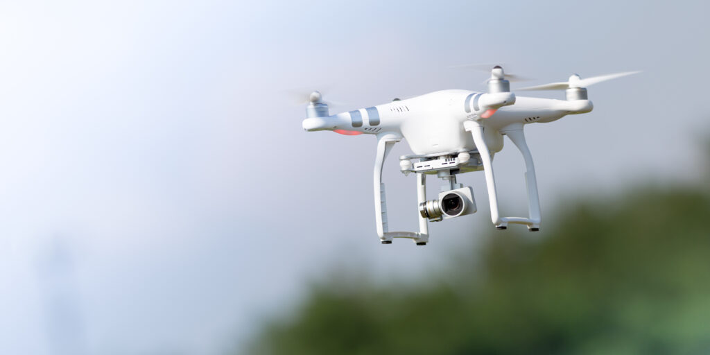
Geospatial intelligence involves the utilization of satellite and aerial imagery, alongside other geospatial data, to enhance our comprehension of Earth’s surface. Understanding the strengths and weaknesses of these technologies is crucial for making informed decisions when it comes to diverse applications, ranging from agriculture and urban planning to disaster management and environmental monitoring. In this […]
Geospatial AI Solutions for Complying with EU’s Deforestation Law
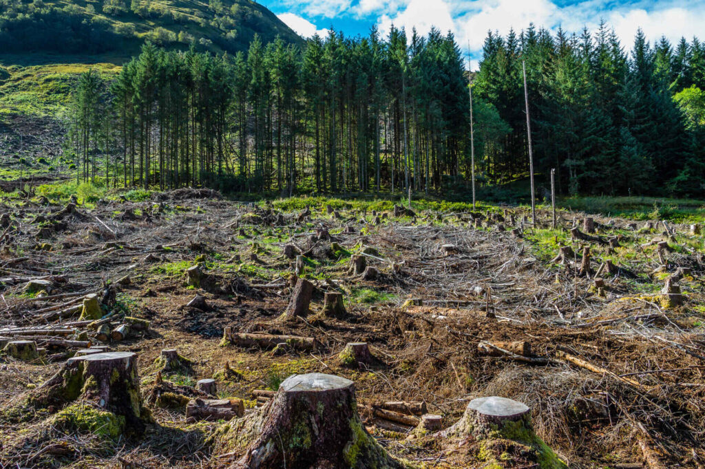
In recent times, the world has witnessed an increased focus on addressing the alarming rate of deforestation and forest degradation. Most recently, the European Parliament, has adopted the EU Deforestation Regulation (EUDR), a law aimed at curbing deforestation-associated products entering the European Union (EU). The EUDR: A Paradigm Shift The EU Deforestation Regulation is a […]
Empowering Object Detection, Segmentation, and Localization for Tree Detection and Beyond
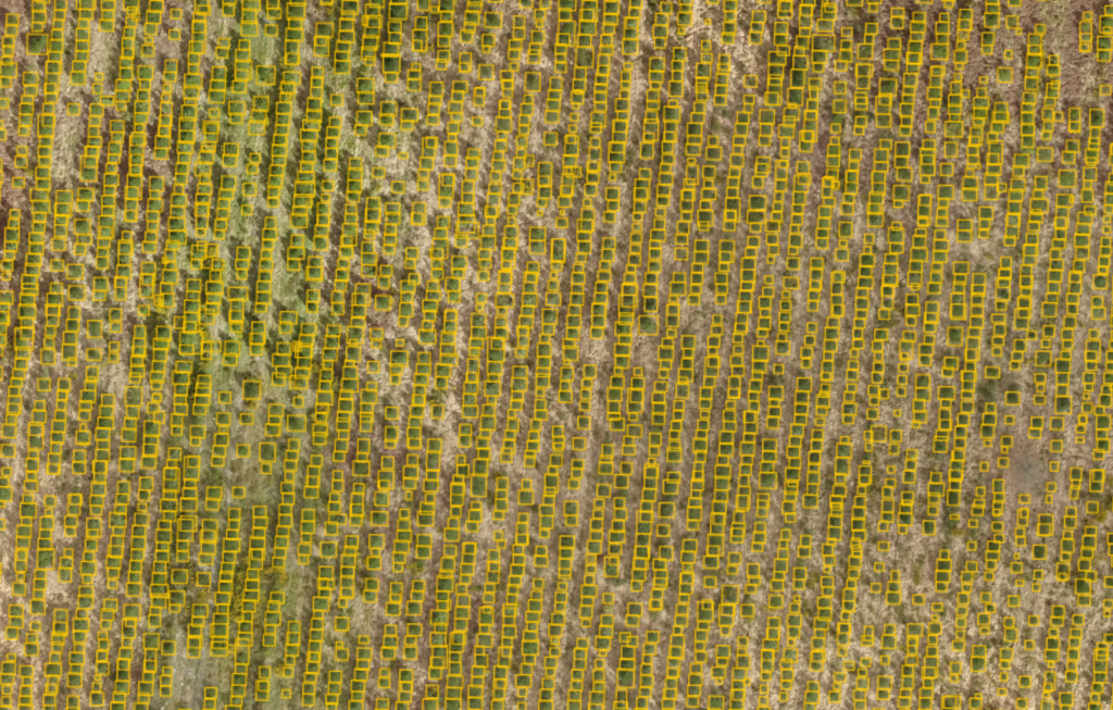
Introduction Amid growing environmental concerns and the need for efficient urban planning, tree detection from aerial imagery has become a critical requirement for various industries. Organizations and authorities have sought ways to monitor deforestation, map green spaces in cities, and assess potential risks posed by trees to residential areas. Fortunately, advancements in machine learning and […]
AI-Driven Road Inspection for Efficient City Management
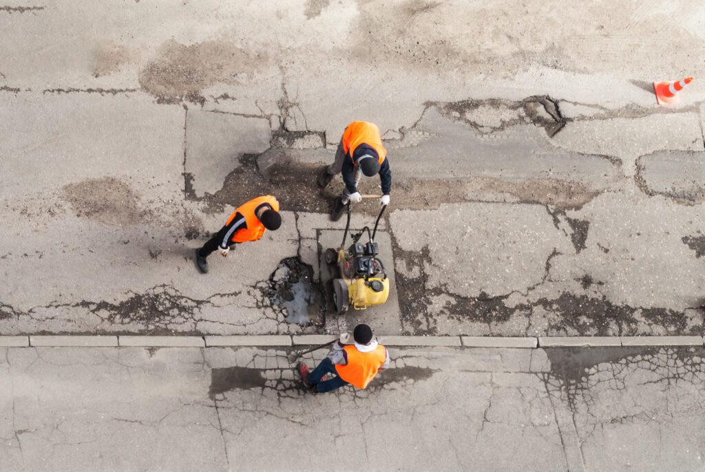
Introduction: Maintaining the infrastructure of a city is an ongoing challenge for municipal authorities around the world. One of the most persistent and frustrating problems faced by cities is the deterioration of pavements and roads, which can result in potholes, cracks, and erosion. Traditionally, identifying and repairing these issues has been a time-consuming and labour-intensive […]
Harnessing the Power of Geospatial Data: The benefits of geospatial data for mining operations
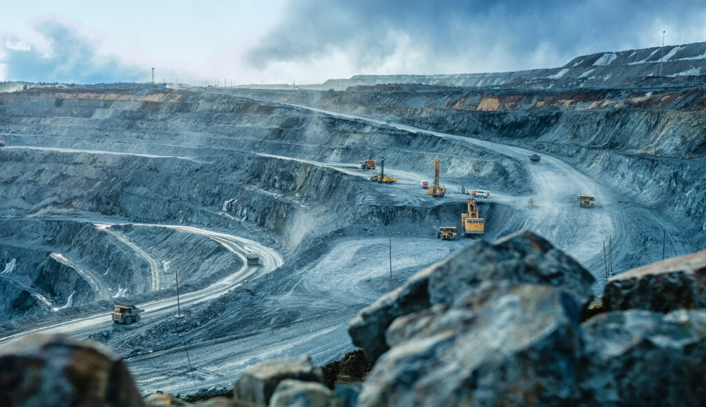
In today’s digital era, the mining industry is leveraging advanced technologies to optimize operations, minimize environmental impact, and improve safety. Among these technologies, geospatial data stands out as a powerful tool that enables mining companies to gain valuable insights into the Earth’s surface. By analyzing high-resolution satellite and drone imagery, mining operations can make informed […]
Harnessing the Power of AI and Aerial Imagery for Smarter Cities
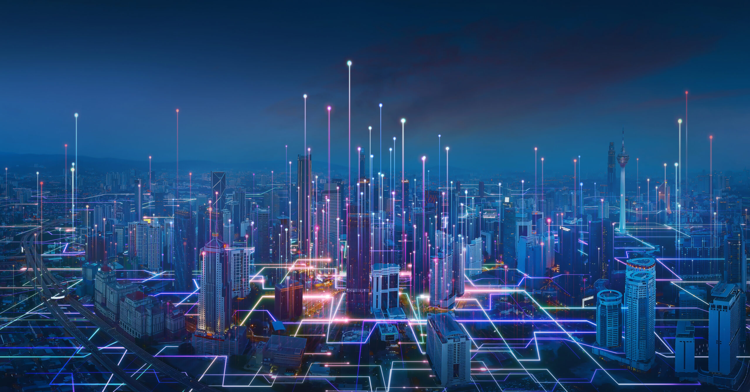
Urbanization continues to expand at an unprecedented rate. In response, city planners, administrators, and technologists worldwide are collaborating to develop “smart cities” – urban areas that leverage digital technology, data, and connectivity to enhance the quality of life for their residents. One technology making waves in the realm of smart cities is AI-powered analysis of […]
From Balloons to Satellites: A Journey Through the Evolution of Remote Sensing and Satellite Imagery Resolution
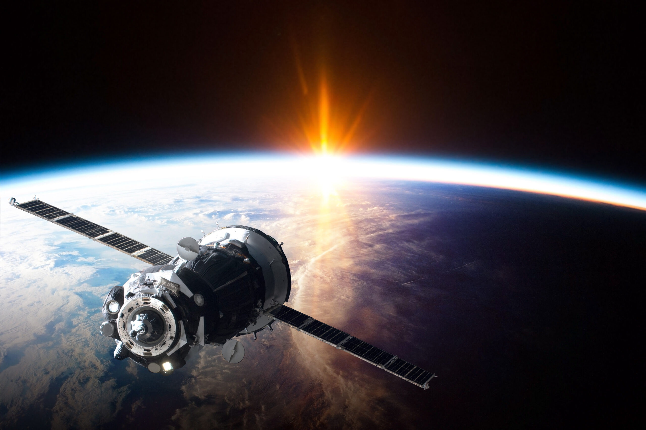
Remote sensing is the science of gathering information about an object or phenomenon without making physical contact with it. This technology has revolutionised the way we view and understand our planet by allowing us to access vast amounts of information about the earth’s surface and atmosphere. Remote sensing has come a long way since its […]